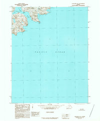
1989 Map of Unalaska B-1
USGS Topo · Published 1989About this map
Unalaska Island and Sedanka Island dominate this coastal survey of the Aleutian chain, separated by the precarious waters of Narrow Straight. The topography is defined by steep volcanic shorelines and deep inlets like Udagak Bay and Anchor. This 1989 provisional edition, based on aerial photography from the early 1980s, captures a wilderness landscape devoid of established roads or trails. Instead, the area is oriented around maritime navigation points such as Passage Point and the transition into the Pacific Ocean. This map is particularly useful for maritime historians and those studying the remote geography of the Aleutians West Census Area before modern digital updates.
Find a feature on this map
12 named features on this map. Tap any name to fly to it.
Don’t see what you’re looking for? This feature index may not catch every label — zoom into the map to look around manually.
Map Details
Editions of this 1989 Unalaska B-1 Map
This is the sole edition of this map. No revisions or reprints were ever made.
Other maps of this area

1951 · Unalaska
USGS Topo · 1:250,000
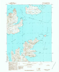
1989 · Unalaska C-1
USGS Topo · 1:63,360
1989 · Unalaska A-2
USGS Topo · 1:63,360

1989 · Unalaska B-2
USGS Topo · 1:63,360

1990 · Unalaska C-2
USGS Topo · 1:63,360

2020 · Unalaska B-1 NE
USGS Topo · 1:25,000

2020 · Unalaska B-2 SE
USGS Topo · 1:25,000
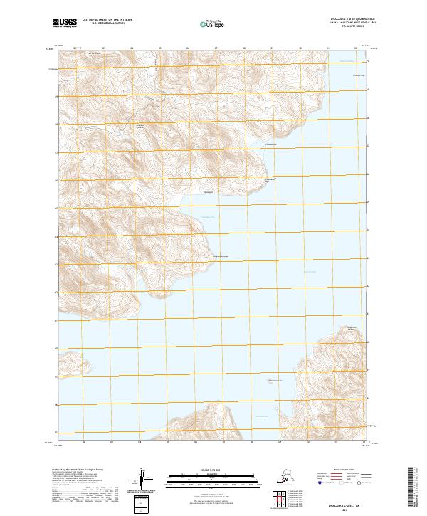
2021 · Unalaska C-2 SE
USGS Topo · 1:25,000
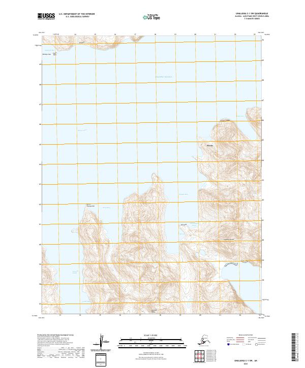
2021 · Unalaska C-1 SW
USGS Topo · 1:25,000
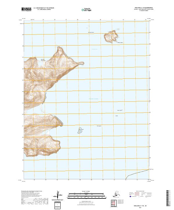
2021 · Unalaska C-1 SE
USGS Topo · 1:25,000