2020 Map of Unalaska B-1 NE
USGS Topo · Published 2020About this map
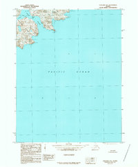
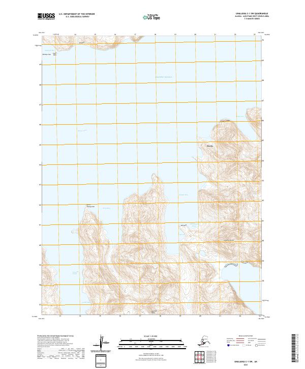
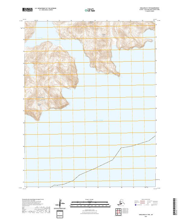
The vast expanse of the Pacific Ocean dominates this maritime survey in the Aleutians West Census Area. This coastal quadrant captures the intersection of open water and the administrative boundaries of t74s r115w and t74s r114w. Given its location in the Aleutian Islands, the map illustrates the precise longitudinal and latitudinal coordinates vital for navigation and public land management in a region where land is sparse and maritime boundaries are paramount. The minimalist nature of the land features emphasizes the isolation of this stretch of the Alaskan coastline as it was recorded in the early 21st century.
Find a feature on this map
3 named features on this map. Tap any name to fly to it.
Don’t see what you’re looking for? This feature index may not catch every label — zoom into the map to look around manually.
Map Details
Editions of this 2020 Unalaska B-1 NE Map
This is the sole edition of this map. No revisions or reprints were ever made.