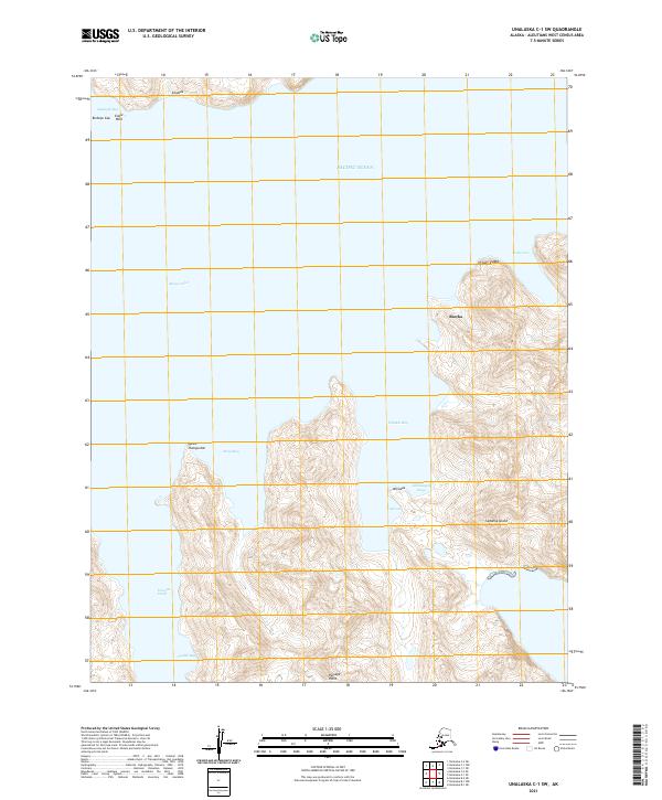
2021 Map of Unalaska C-1 SW
USGS Topo · Published 2021About this map
Sedanka Island dominates this maritime survey, separated from its neighbors by the waters of Udaga Strait and Beaver Inlet. The settlement of Biorka sits along the eastern coastline, positioned amidst a complex network of coastal features including Udamat Bay and Sisek Cove. The terrain is characterized by named heights and landmarks like Bishops Cap, Eagle Rock, and the distinctive Qiqaan-kadaa.
Find a feature on this map
23 named features on this map. Tap any name to fly to it.
Don’t see what you’re looking for? This feature index may not catch every label — zoom into the map to look around manually.
Map Details
Editions of this 2021 Unalaska C-1 SW Map
This is the sole edition of this map. No revisions or reprints were ever made.
Other maps of this area

1951 · Unalaska
USGS Topo · 1:250,000
1989 · Unalaska B-1
USGS Topo · 1:63,360
1989 · Unalaska C-1
USGS Topo · 1:63,360

1989 · Unalaska B-2
USGS Topo · 1:63,360

1990 · Unalaska C-2
USGS Topo · 1:63,360
2020 · Unalaska C-1 NE
USGS Topo · 1:25,000
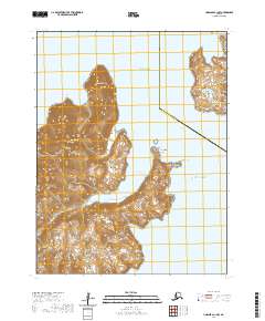
2020 · Unalaska C-1 NW
USGS Topo · 1:25,000
2020 · Unalaska B-1 NE
USGS Topo · 1:25,000
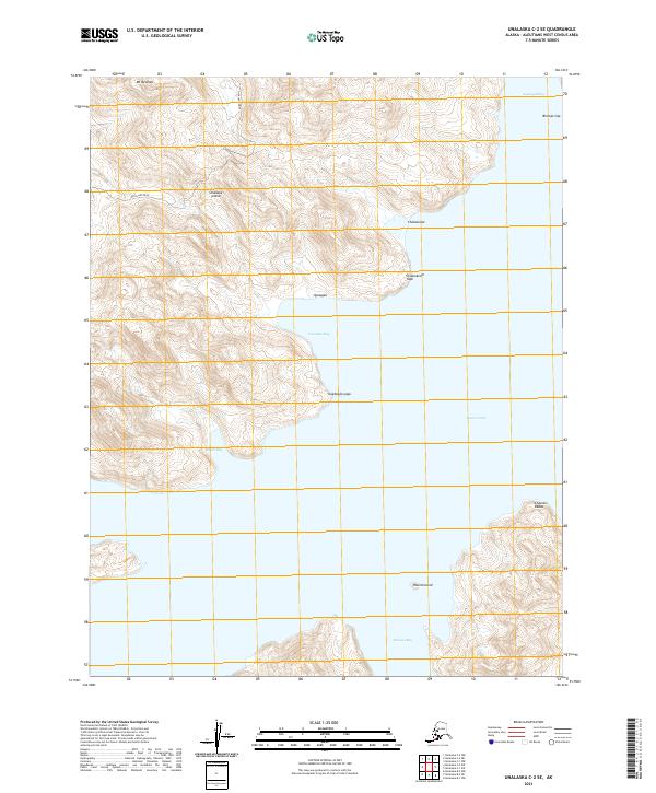
2021 · Unalaska C-2 SE
USGS Topo · 1:25,000
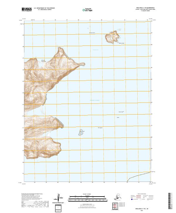
2021 · Unalaska C-1 SE
USGS Topo · 1:25,000