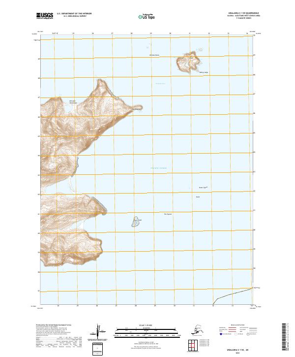
2021 Map of Unalaska C-1 SE
USGS Topo · Published 2021About this map
Sedanka Pass and the open Pacific Ocean dominate this coastal survey of the Aleutian Islands. The land is defined by the eastern reaches of Sedanka Island, featuring the prominent Achuugix Tanax̂taqax̂ and the sharp projection of Cape Sedanka. Maritime hazards are numerous in these waters, documented by landmarks like Old Man Rocks, Bailey Ledge, and the outlying Egg Island.
Find a feature on this map
15 named features on this map. Tap any name to fly to it.
Don’t see what you’re looking for? This feature index may not catch every label — zoom into the map to look around manually.
Map Details
Editions of this 2021 Unalaska C-1 SE Map
This is the sole edition of this map. No revisions or reprints were ever made.
Other maps of this area

1951 · Unalaska
USGS Topo · 1:250,000
1989 · Unalaska B-1
USGS Topo · 1:63,360
1989 · Unalaska C-1
USGS Topo · 1:63,360
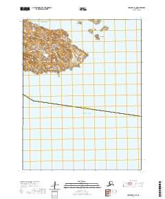
2020 · Unalaska C-1 NE
USGS Topo · 1:25,000
2020 · Unalaska C-1 NW
USGS Topo · 1:25,000
2020 · Unalaska B-1 NE
USGS Topo · 1:25,000
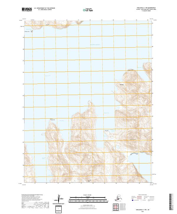
2021 · Unalaska C-1 SW
USGS Topo · 1:25,000
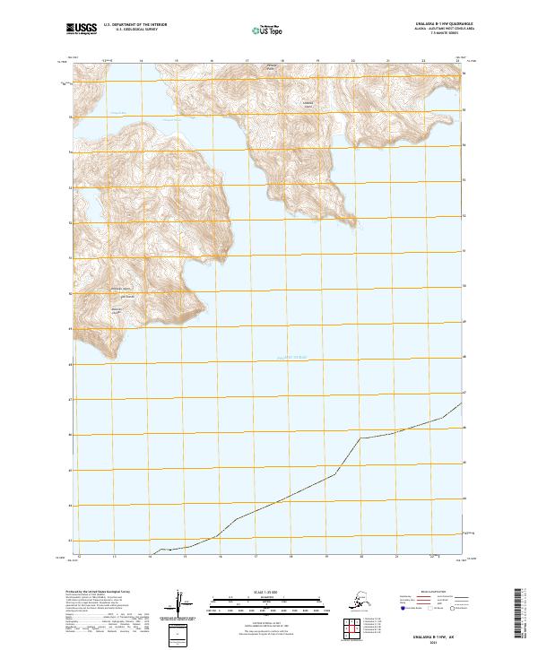
2021 · Unalaska B-1 NW
USGS Topo · 1:25,000