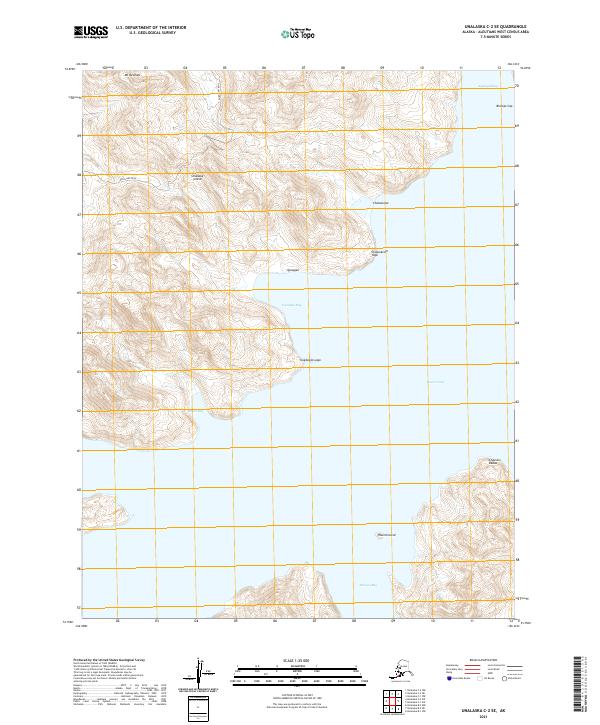
2021 Map of Unalaska C-2 SE
USGS Topo · Published 2021About this map
Unalaska Island is defined by its deeply recessed coastlines and dramatic elevation changes in this 2021 study. The landscape is dominated by the maritime interaction of Beaver Inlet and smaller bodies like Agamgik Bay and Ugadaga Bay, where steep ridges rise sharply from the water's edge. Significant peaks such as Mt Newhall and Bishops Cap provide topographic orientation across the island's interior.
Find a feature on this map
21 named features on this map. Tap any name to fly to it.
Don’t see what you’re looking for? This feature index may not catch every label — zoom into the map to look around manually.
Map Details
Editions of this 2021 Unalaska C-2 SE Map
This is the sole edition of this map. No revisions or reprints were ever made.
Other maps of this area

1951 · Unalaska
USGS Topo · 1:250,000
1989 · Unalaska B-1
USGS Topo · 1:63,360
1989 · Unalaska C-1
USGS Topo · 1:63,360

1989 · Unalaska B-2
USGS Topo · 1:63,360

1990 · Unalaska C-2
USGS Topo · 1:63,360
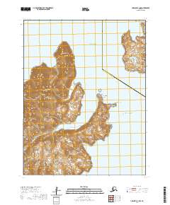
2020 · Unalaska C-1 NW
USGS Topo · 1:25,000
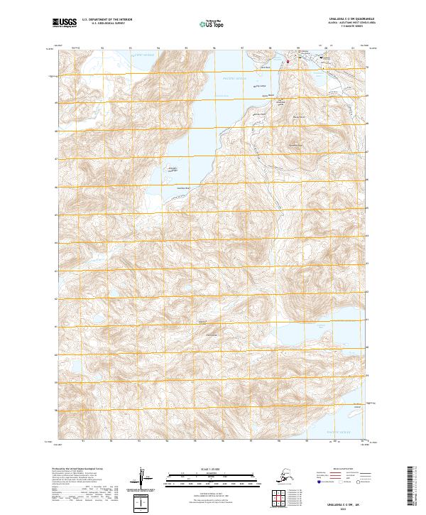
2021 · Unalaska C-2 SW
USGS Topo · 1:25,000
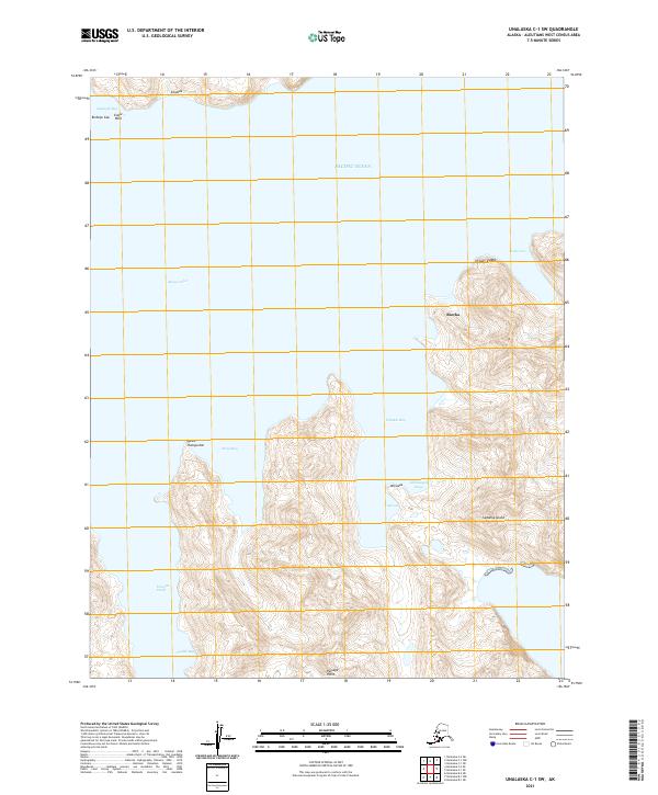
2021 · Unalaska C-1 SW
USGS Topo · 1:25,000
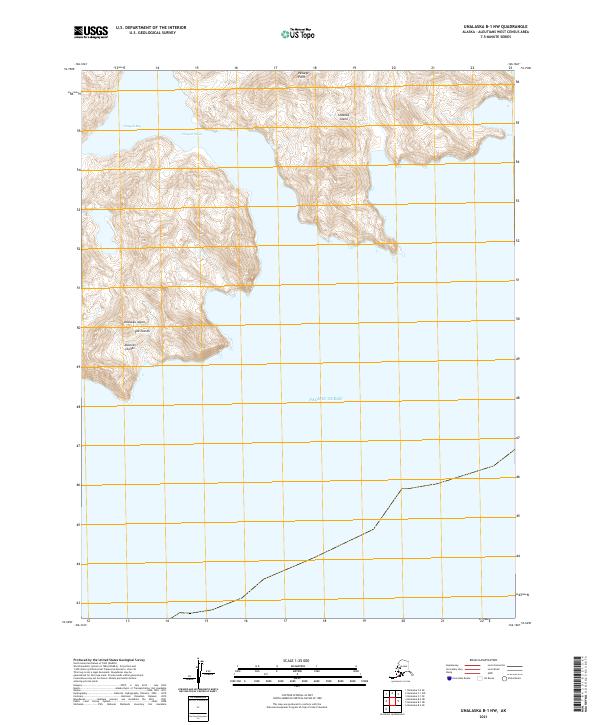
2021 · Unalaska B-1 NW
USGS Topo · 1:25,000
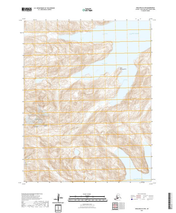
2021 · Unalaska B-2 NW
USGS Topo · 1:25,000