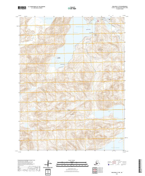
2021 Map of Unalaska C-2 SW
USGS Topo · Published 2021About this map
Captains Bay and the northern reaches of the Fox Islands define this maritime landscape in the Aleutians. The map centers on the steep, glacially carved terrain surrounding Pyramid Peak, where drainage systems like the Nateekin River and Shaishnikof River cut through the volcanic ridges of the Aleutian Islands. Along the northern coast, the community of Unalaska is represented by critical civic landmarks including the Unalaska Courthouse and the Unalaska City Cem near Unalaska Lake.
Find a feature on this map
37 named features on this map. Tap any name to fly to it.
Don’t see what you’re looking for? This feature index may not catch every label — zoom into the map to look around manually.
Map Details
Editions of this 2021 Unalaska C-2 SW Map
This is the sole edition of this map. No revisions or reprints were ever made.
Other maps of this area

1951 · Unalaska
USGS Topo · 1:250,000

1989 · Unalaska C-3
USGS Topo · 1:63,360

1989 · Unalaska B-2
USGS Topo · 1:63,360

1989 · Unalaska B-3
USGS Topo · 1:63,360

1990 · Unalaska C-2
USGS Topo · 1:63,360
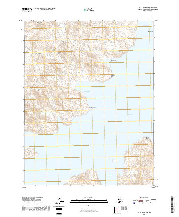
2021 · Unalaska C-2 SE
USGS Topo · 1:25,000
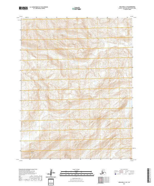
2021 · Unalaska C-3 SE
USGS Topo · 1:25,000
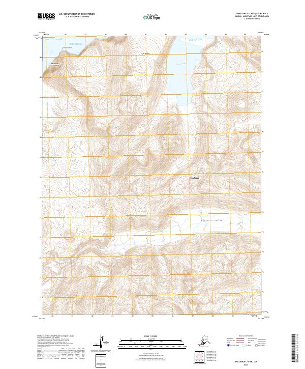
2021 · Unalaska C-3 NE
USGS Topo · 1:25,000
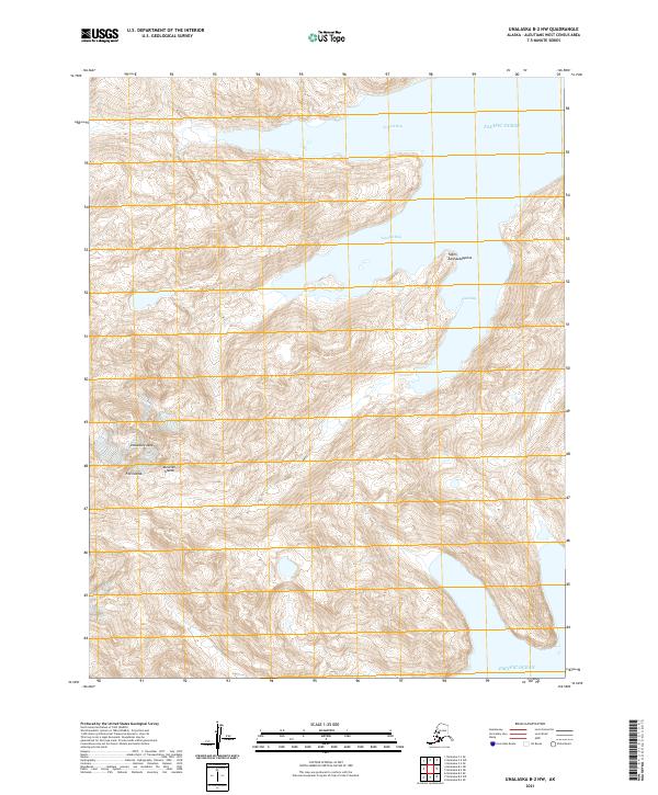
2021 · Unalaska B-2 NW
USGS Topo · 1:25,000
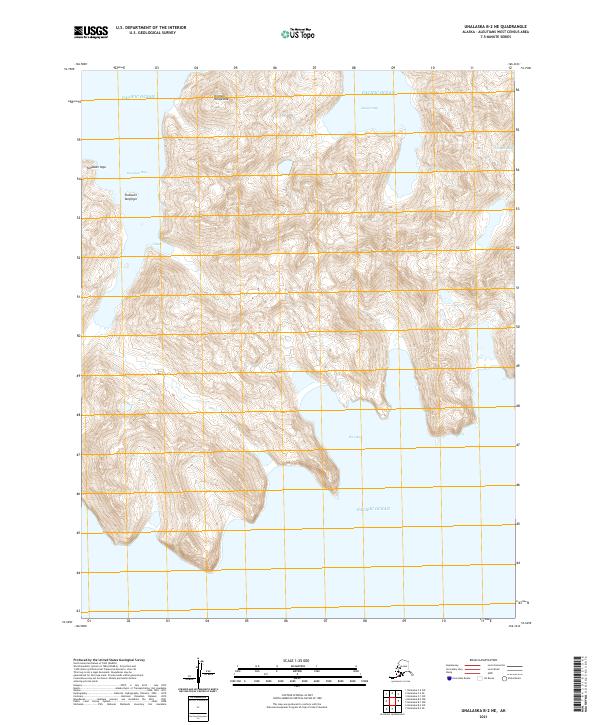
2021 · Unalaska B-2 NE
USGS Topo · 1:25,000