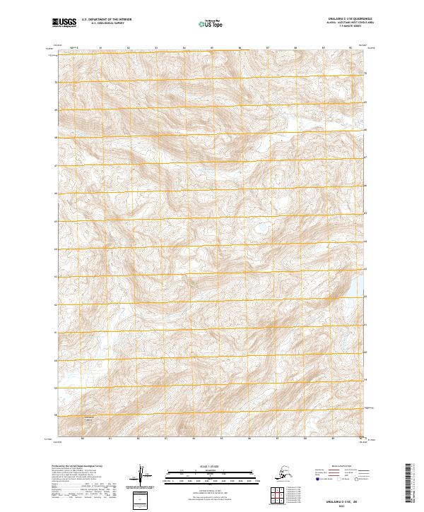
2021 Map of Unalaska C-3 SE
USGS Topo · Published 2021About this map
Nateekin River flows through this corner of the Aleutian Islands, carving a path through high, unpopulated ridges toward the Bering Sea. The landscape is defined by its dramatic relief, with contour lines indicating steep ascents to unnamed peaks that dominate the drainage basins. Along the southern edge of the sheet, the terrain drops toward Cathedral Point, a prominent coastal landmark that overlooks the water. To the east, the Shaishnikof River mirrors the rugged drainage pattern of the region. This survey highlights a wilderness area of the Aleutians West census area where the land remains largely untouched by infrastructure, showing the natural hydrology and land divisions of the public land survey system.
Find a feature on this map
7 named features on this map. Tap any name to fly to it.
Don’t see what you’re looking for? This feature index may not catch every label — zoom into the map to look around manually.
Map Details
Editions of this 2021 Unalaska C-3 SE Map
This is the sole edition of this map. No revisions or reprints were ever made.
Other maps of this area

1951 · Unalaska
USGS Topo · 1:250,000

1989 · Unalaska C-3
USGS Topo · 1:63,360

1989 · Unalaska B-2
USGS Topo · 1:63,360

1989 · Unalaska B-3
USGS Topo · 1:63,360

1990 · Unalaska C-2
USGS Topo · 1:63,360
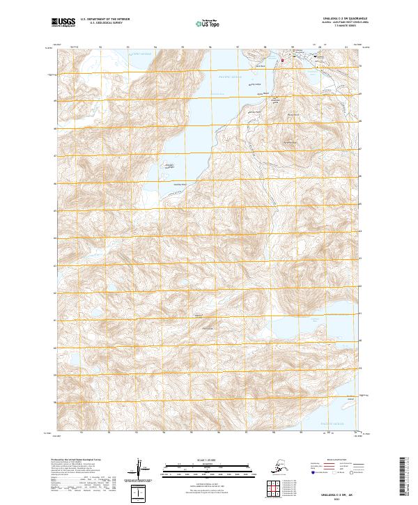
2021 · Unalaska C-2 SW
USGS Topo · 1:25,000
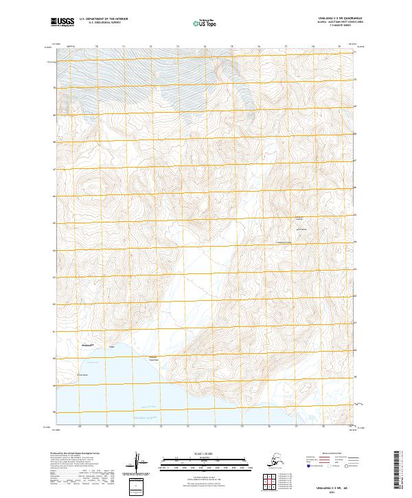
2021 · Unalaska C-3 SW
USGS Topo · 1:25,000
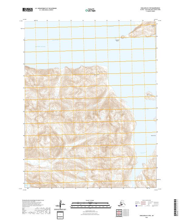
2021 · Unalaska B-3 NW
USGS Topo · 1:25,000
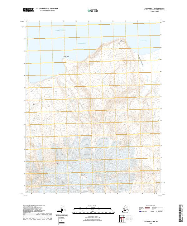
2021 · Unalaska C-3 NW
USGS Topo · 1:25,000
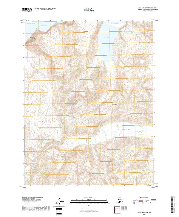
2021 · Unalaska C-3 NE
USGS Topo · 1:25,000