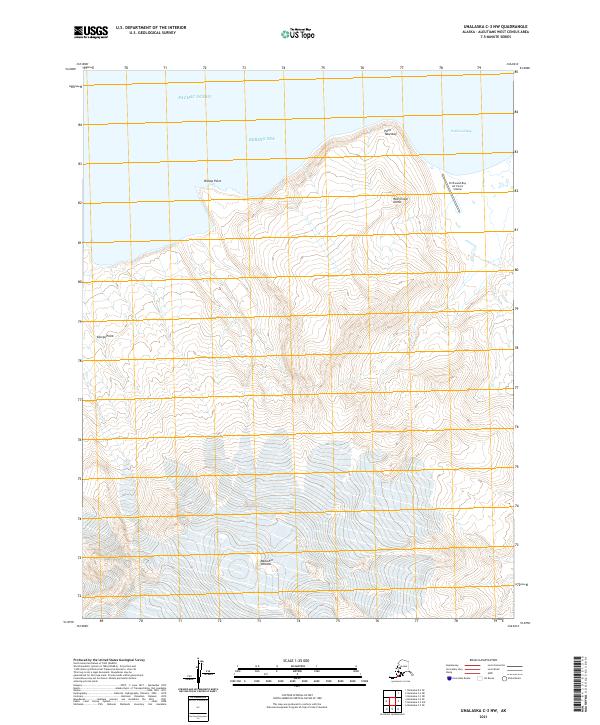
2021 Map of Unalaska C-3 NW
USGS Topo · Published 2021About this map
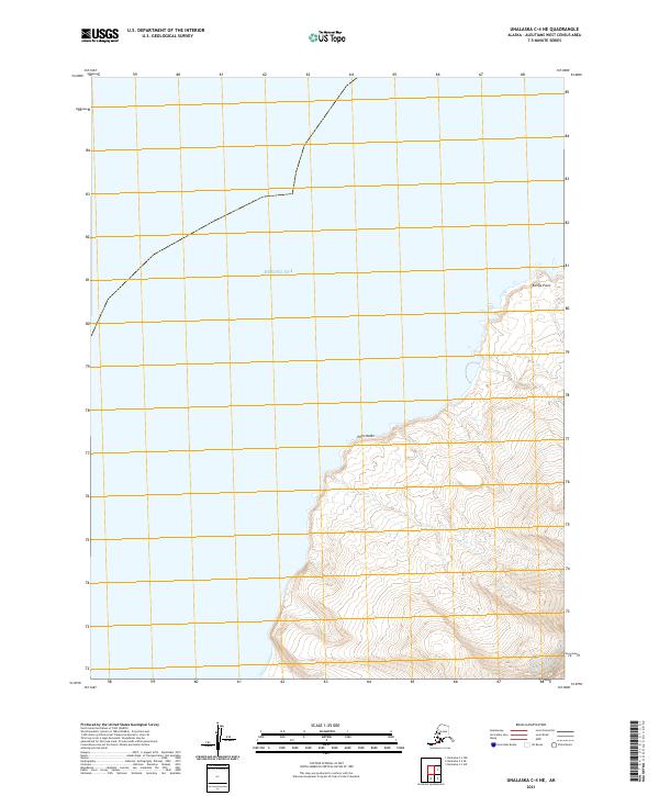
Makushin Volcano dominates the southern reaches of this volcanic landscape, its glacial features giving way to the stark volcanic peaks of Red Cinder Dome further north. This coastal portion of Unalaska Island is defined by a high-latitude maritime environment where the Bering Sea meets the Pacific Ocean. The coastline is marked by prominent headlands like Point Tebenkof, Bishop Point, and Koriga Point, which define the irregular shoreline of this volcanic arc.
Find a feature on this map
14 named features on this map. Tap any name to fly to it.
Don’t see what you’re looking for? This feature index may not catch every label — zoom into the map to look around manually.
Map Details
Editions of this 2021 Unalaska C-3 NW Map
This is the sole edition of this map. No revisions or reprints were ever made.
Other maps of this area

1951 · Unalaska
USGS Topo · 1:250,000

1989 · Unalaska C-3
USGS Topo · 1:63,360
1989 · Unalaska D-3
USGS Topo · 1:63,360
1989 · Unalaska C-4
USGS Topo · 1:63,360
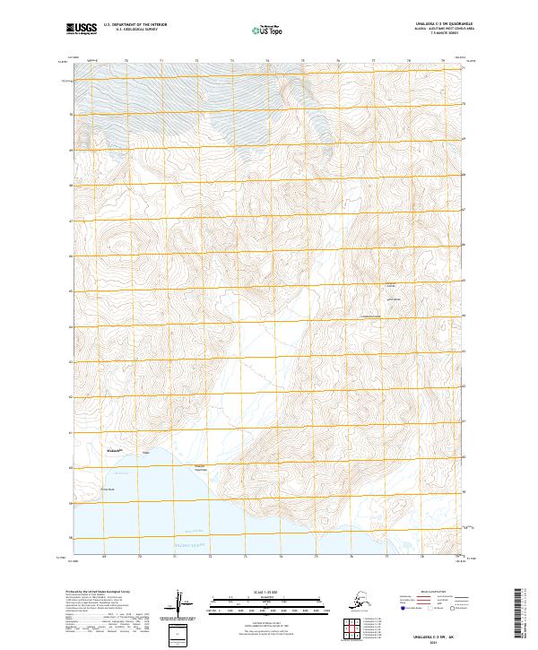
2021 · Unalaska C-3 SW
USGS Topo · 1:25,000
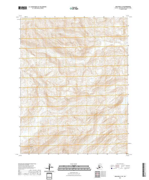
2021 · Unalaska C-3 SE
USGS Topo · 1:25,000
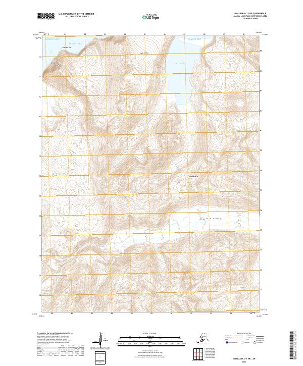
2021 · Unalaska C-3 NE
USGS Topo · 1:25,000
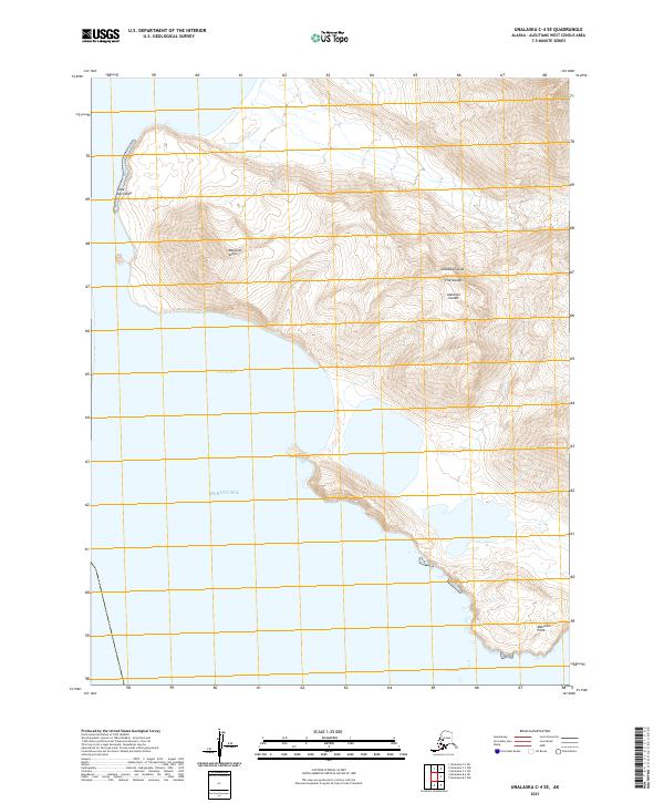
2021 · Unalaska C-4 SE
USGS Topo · 1:25,000
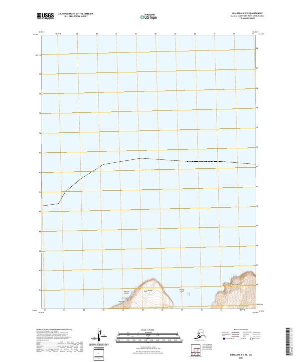
2021 · Unalaska D-3 SE
USGS Topo · 1:25,000
2021 · Unalaska C-4 NE
USGS Topo · 1:25,000