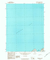
1989 Map of Unalaska D-3
USGS Topo · Published 1989About this map
Unalaska Island meets the expanse of the Bering Sea along this northern stretch of the Aleutian chain. This 1980s era survey documents the maritime approach to the island's coastal geography, focusing on the indented coastline between Wislow Cape and Cape Cheerful. The topography is marked by small coastal features and landmarks such as Wislow Island and Reese Bay, which provide natural anchorages along the rocky shore. The presence of specific named landmarks like Bar, Bell, and Skum suggests significant maritime navigation points or coastal features identified by the Geological Survey during this provisional mapping effort. While much of the interior remains unmapped in this specific quadrangle, the survey captures the intersection of land and sea at names like Noxon and Fid, preserving the exact nomenclature used by agencies during the late twentieth century.
Find a feature on this map
11 named features on this map. Tap any name to fly to it.
Don’t see what you’re looking for? This feature index may not catch every label — zoom into the map to look around manually.
Map Details
Editions of this 1989 Unalaska D-3 Map
This is the sole edition of this map. No revisions or reprints were ever made.
Other maps of this area

1951 · Unalaska
USGS Topo · 1:250,000

1989 · Unalaska C-3
USGS Topo · 1:63,360
1989 · Unalaska C-4
USGS Topo · 1:63,360
1989 · Unalaska D-2
USGS Topo · 1:63,360

1990 · Unalaska C-2
USGS Topo · 1:63,360
2020 · Unalaska D-2 SW
USGS Topo · 1:25,000
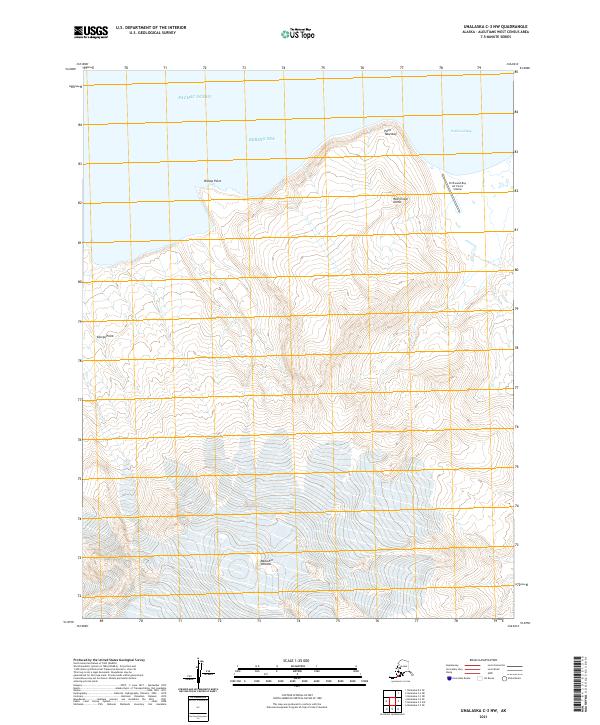
2021 · Unalaska C-3 NW
USGS Topo · 1:25,000
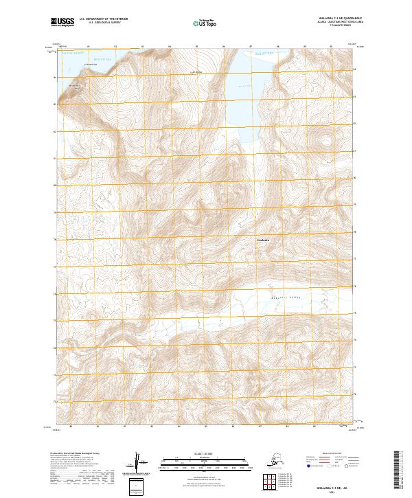
2021 · Unalaska C-3 NE
USGS Topo · 1:25,000
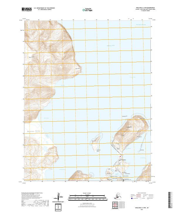
2021 · Unalaska C-2 NW
USGS Topo · 1:25,000
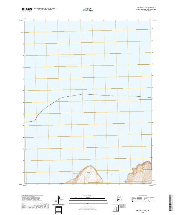
2021 · Unalaska D-3 SE
USGS Topo · 1:25,000