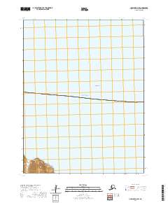
2020 Map of Unalaska D-2 SW
USGS Topo · Published 2020About this map
Cape Cheerful dominates the southwestern corner of this maritime landscape, where steep coastal terrain meets the vast expanse of the Bering Sea. This coastal point represents the only significant landmass on an otherwise oceanic sheet, which primarily documents the hydrography and bathymetric features of the Aleutian coastline. Further offshore, the Chelan Bank marks a shallow underwater feature of interest to navigators and those studying the maritime geography of the Aleutians West Census Area. The map provides a precise record of these shoreline contours and underwater banks as they were surveyed in 2020.
Find a feature on this map
5 named features on this map. Tap any name to fly to it.
Don’t see what you’re looking for? This feature index may not catch every label — zoom into the map to look around manually.
Map Details
Editions of this 2020 Unalaska D-2 SW Map
This is the sole edition of this map. No revisions or reprints were ever made.
Other maps of this area

1951 · Unalaska
USGS Topo · 1:250,000

1989 · Unalaska C-3
USGS Topo · 1:63,360
1989 · Unalaska D-3
USGS Topo · 1:63,360
1989 · Unalaska D-2
USGS Topo · 1:63,360

1990 · Unalaska C-2
USGS Topo · 1:63,360
2020 · Unalaska D-2 SE
USGS Topo · 1:25,000
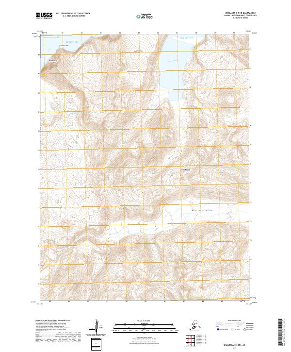
2021 · Unalaska C-3 NE
USGS Topo · 1:25,000
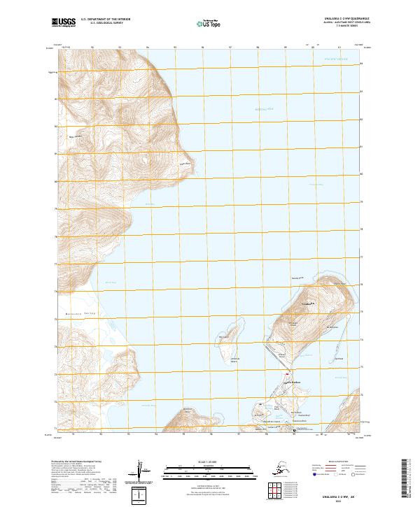
2021 · Unalaska C-2 NW
USGS Topo · 1:25,000
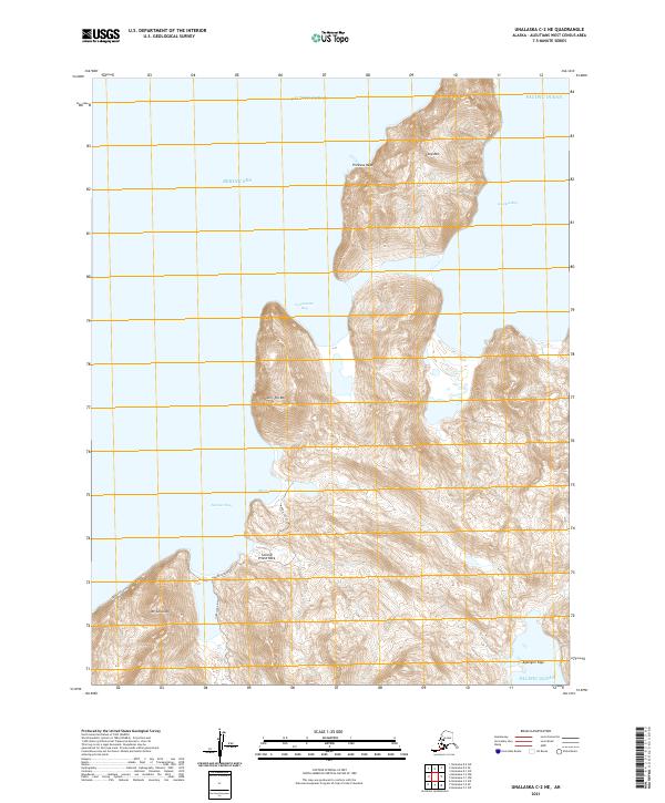
2021 · Unalaska C-2 NE
USGS Topo · 1:25,000
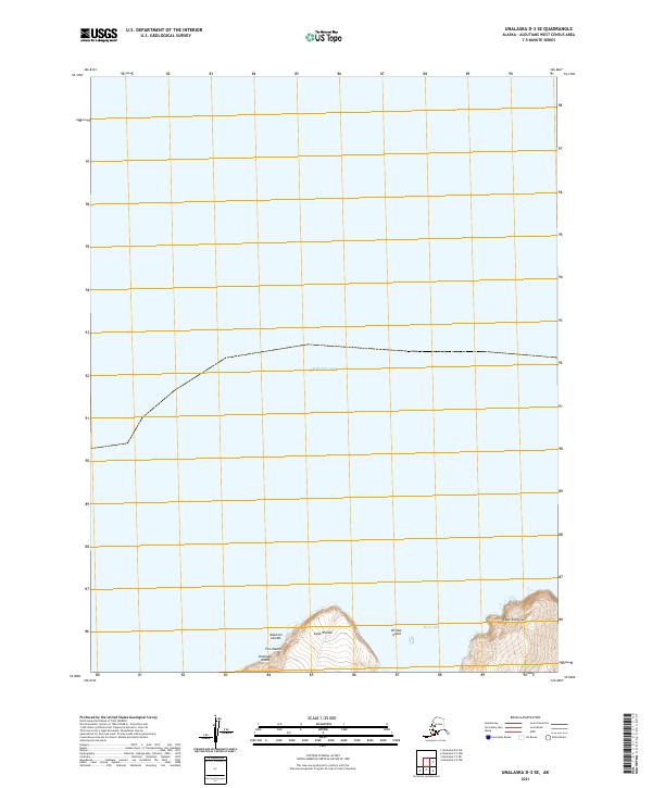
2021 · Unalaska D-3 SE
USGS Topo · 1:25,000