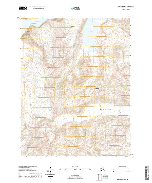
2021 Map of Unalaska C-3 NE
USGS Topo · Published 2021About this map
McLees Lake dominates the northern drainage of this coastal landscape, situated just south of where the Bering Sea meets the shore at Cape Wislow. The terrain is defined by dramatic elevation changes, rising from the coast to the heights of Mt Marshall Reese and dropping into the broad Makushin Valley. This portion of Unalaska Island exhibits the characteristic maritime topography of the Aleutians, where the Pacific Ocean and Bering Sea converge. Navigational landmarks like the distinctive Irishmans Hat offshore provide vital orientation points along a coastline otherwise shaped by steep ridges and glacial valleys. The map reveals the intricate network of peaks and drainages that have historically dictated travel and subsistence patterns in this remote volcanic archipelago.
Find a feature on this map
14 named features on this map. Tap any name to fly to it.
Don’t see what you’re looking for? This feature index may not catch every label — zoom into the map to look around manually.
Map Details
Editions of this 2021 Unalaska C-3 NE Map
This is the sole edition of this map. No revisions or reprints were ever made.
Other maps of this area

1951 · Unalaska
USGS Topo · 1:250,000

1989 · Unalaska C-3
USGS Topo · 1:63,360
1989 · Unalaska D-3
USGS Topo · 1:63,360
1989 · Unalaska D-2
USGS Topo · 1:63,360

1990 · Unalaska C-2
USGS Topo · 1:63,360
2020 · Unalaska D-2 SW
USGS Topo · 1:25,000
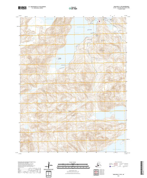
2021 · Unalaska C-2 SW
USGS Topo · 1:25,000
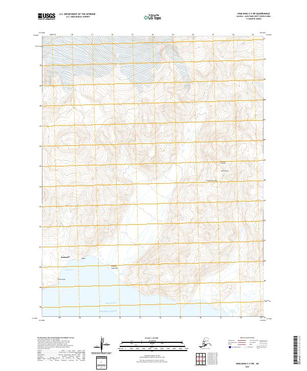
2021 · Unalaska C-3 SW
USGS Topo · 1:25,000
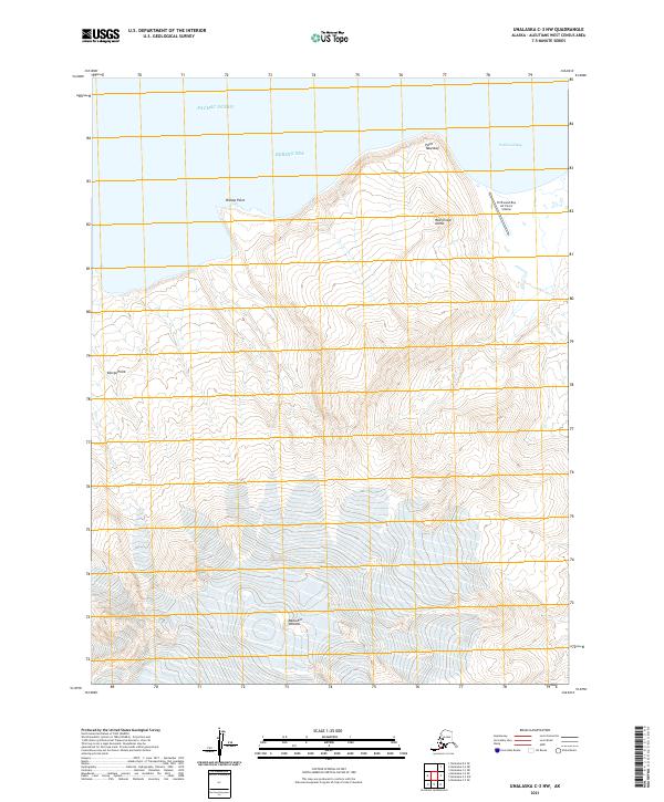
2021 · Unalaska C-3 NW
USGS Topo · 1:25,000
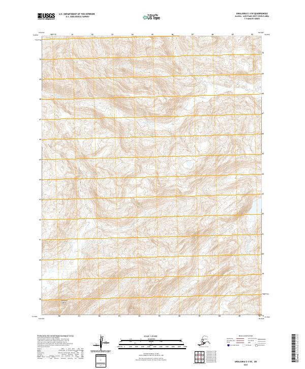
2021 · Unalaska C-3 SE
USGS Topo · 1:25,000