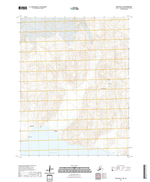
2021 Map of Unalaska C-3 SW
USGS Topo · Published 2021About this map
Makushin and the surrounding shores of Makushin Bay characterize this remote reach of Unalaska Island in the Aleutian Islands. The terrain is defined by steep coastal elevations and significant geographic markers like Priest Rock and the shoreline at Old Harbor. Situated within the Fox Islands group, this area shows a landscape where land meets the Pacific Ocean through complex coastal features such as Iitaax and Iitaagim-tugumaga. The interior is largely roadless, shaped by the drainage of the Nateekin River and high ridgelines. This 2021 survey serves as a modern record of this maritime environment, documenting the exact contours of the Aleutian West coastline and the enduring named landmarks of this isolated archipelago.
Find a feature on this map
15 named features on this map. Tap any name to fly to it.
Don’t see what you’re looking for? This feature index may not catch every label — zoom into the map to look around manually.
Map Details
Editions of this 2021 Unalaska C-3 SW Map
This is the sole edition of this map. No revisions or reprints were ever made.
Other maps of this area

1951 · Unalaska
USGS Topo · 1:250,000

1989 · Unalaska C-3
USGS Topo · 1:63,360
1989 · Unalaska C-4
USGS Topo · 1:63,360
1989 · Unalaska B-4
USGS Topo · 1:63,360

1989 · Unalaska B-3
USGS Topo · 1:63,360
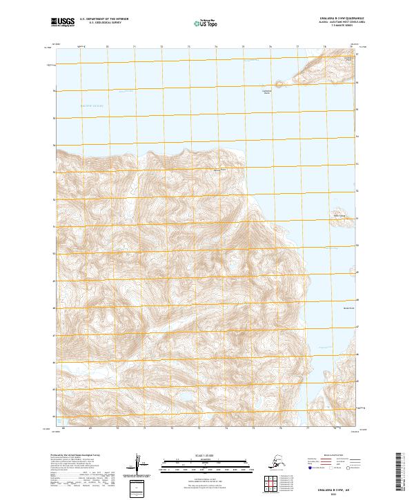
2021 · Unalaska B-3 NW
USGS Topo · 1:25,000
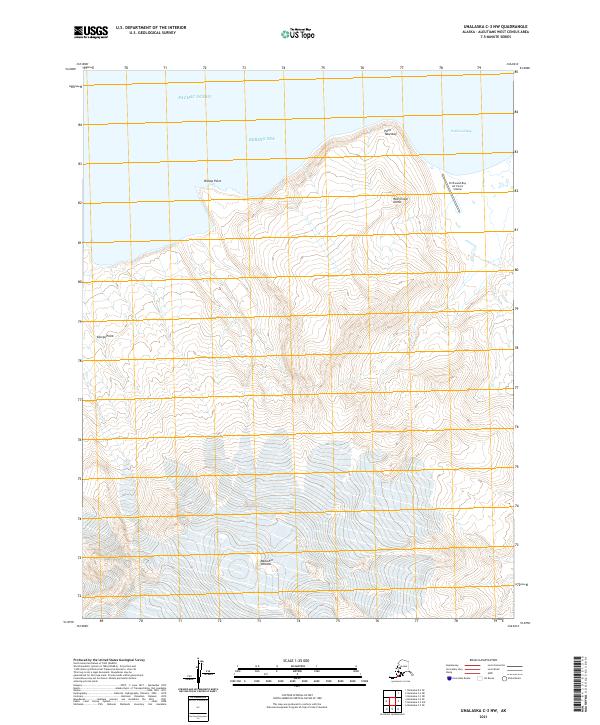
2021 · Unalaska C-3 NW
USGS Topo · 1:25,000
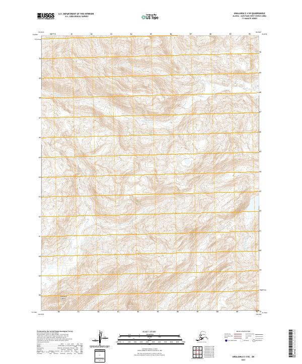
2021 · Unalaska C-3 SE
USGS Topo · 1:25,000
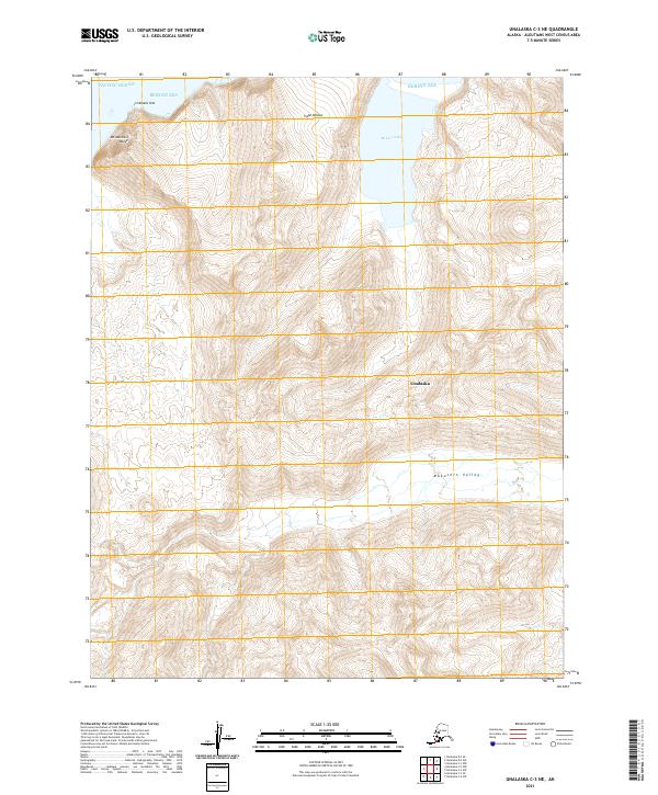
2021 · Unalaska C-3 NE
USGS Topo · 1:25,000
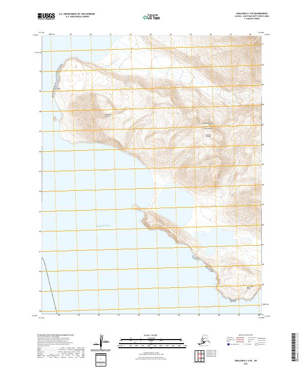
2021 · Unalaska C-4 SE
USGS Topo · 1:25,000