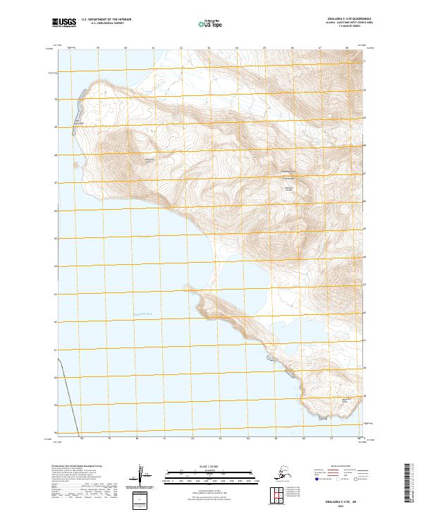
2021 Map of Unalaska C-4 SE
USGS Topo · Published 2021About this map
Unalaska Island is defined here by its extreme maritime terrain and deeply indented coastline along the Bering Sea. This portion of the Fox Islands archipelago exhibits the dramatic elevation changes characteristic of the Aleutian Islands, where the land rises sharply from the water at Cape Kovrizhka toward the inland heights of Magusim Aligii. The map documents two significant maritime inlets, Volcano Bay and Makushin Bay, which are separated by a mountainous peninsula terminating at Makushin Point. This topographic survey provides a precise record of the shoreline and high-latitude relief in a region where few permanent settlements exist, focusing instead on the landforms that dictate navigation and survival in the North Pacific.
Find a feature on this map
12 named features on this map. Tap any name to fly to it.
Don’t see what you’re looking for? This feature index may not catch every label — zoom into the map to look around manually.
Map Details
Editions of this 2021 Unalaska C-4 SE Map
This is the sole edition of this map. No revisions or reprints were ever made.
Other maps of this area

1951 · Unalaska
USGS Topo · 1:250,000

1989 · Unalaska C-3
USGS Topo · 1:63,360
1989 · Unalaska C-4
USGS Topo · 1:63,360
1989 · Unalaska B-4
USGS Topo · 1:63,360

1989 · Unalaska B-3
USGS Topo · 1:63,360
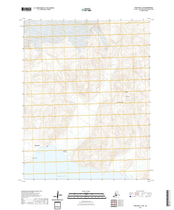
2021 · Unalaska C-3 SW
USGS Topo · 1:25,000
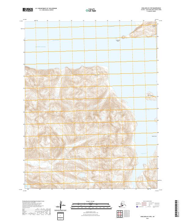
2021 · Unalaska B-3 NW
USGS Topo · 1:25,000
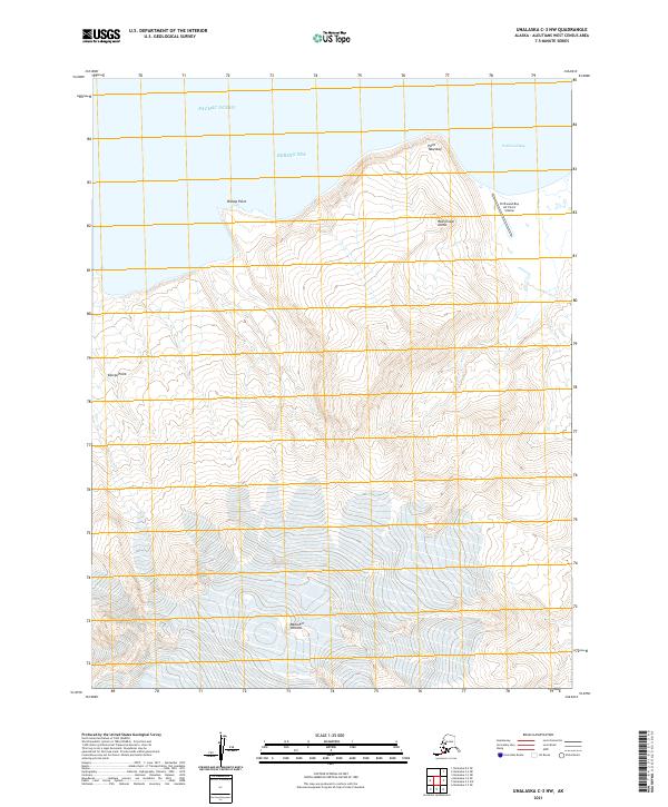
2021 · Unalaska C-3 NW
USGS Topo · 1:25,000
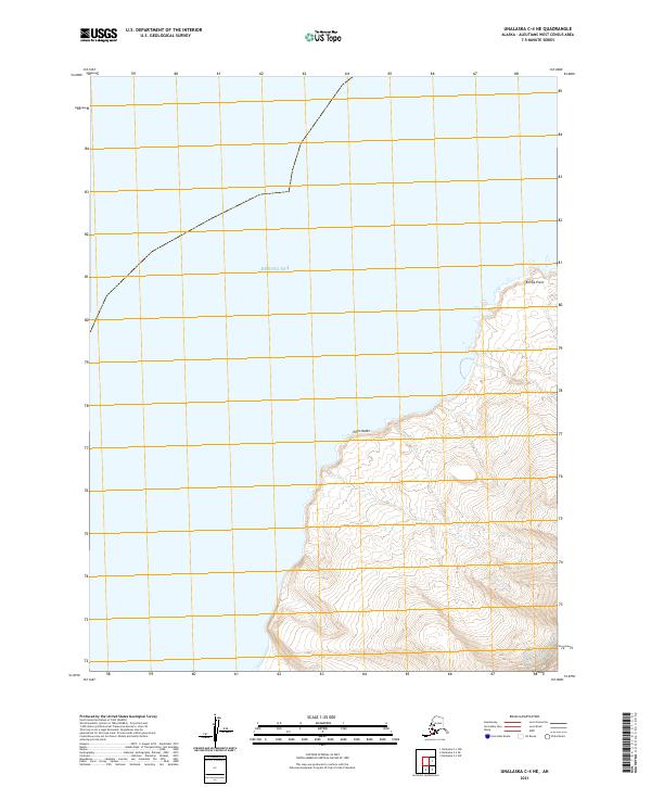
2021 · Unalaska C-4 NE
USGS Topo · 1:25,000
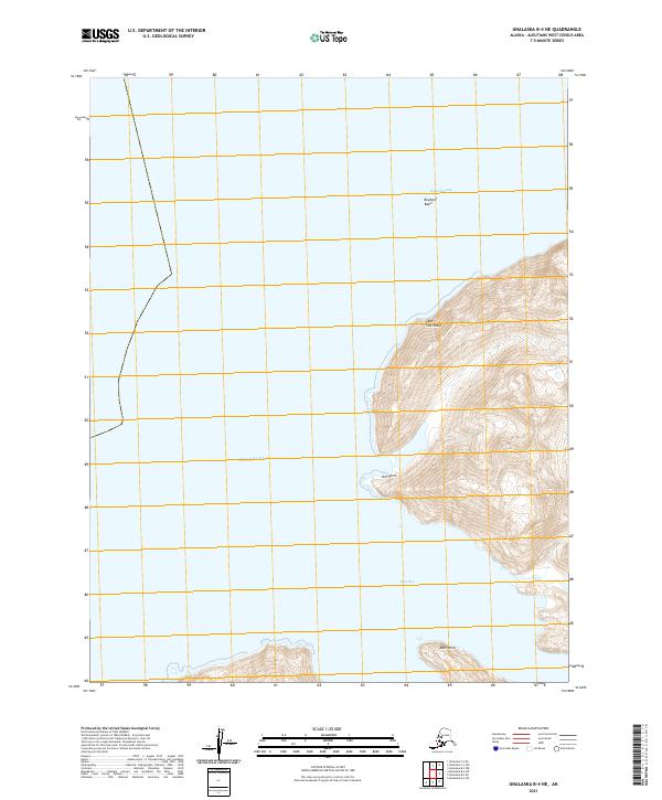
2021 · Unalaska B-4 NE
USGS Topo · 1:25,000