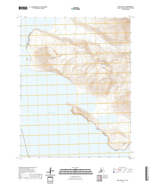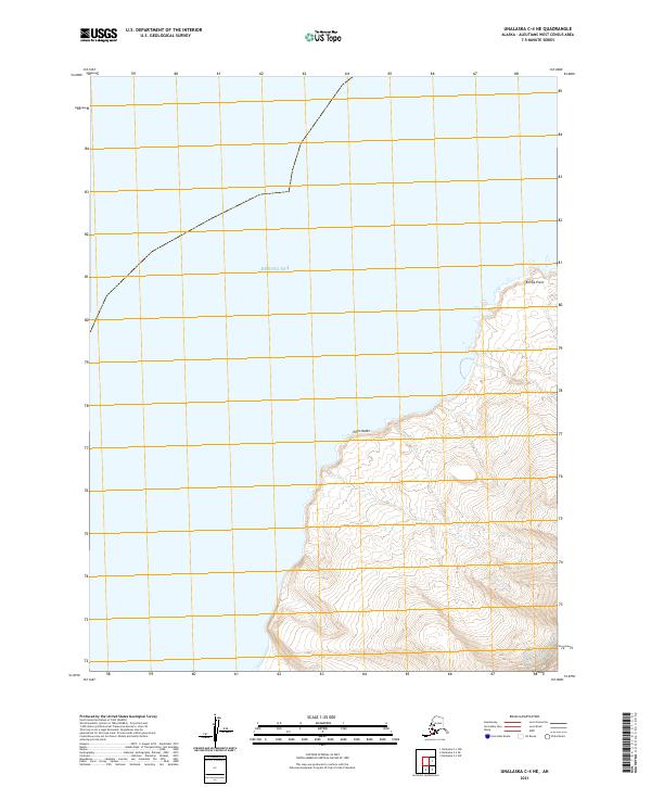
2021 Map of Unalaska C-4 NE
USGS Topo · Published 2021About this map
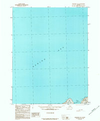
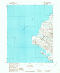
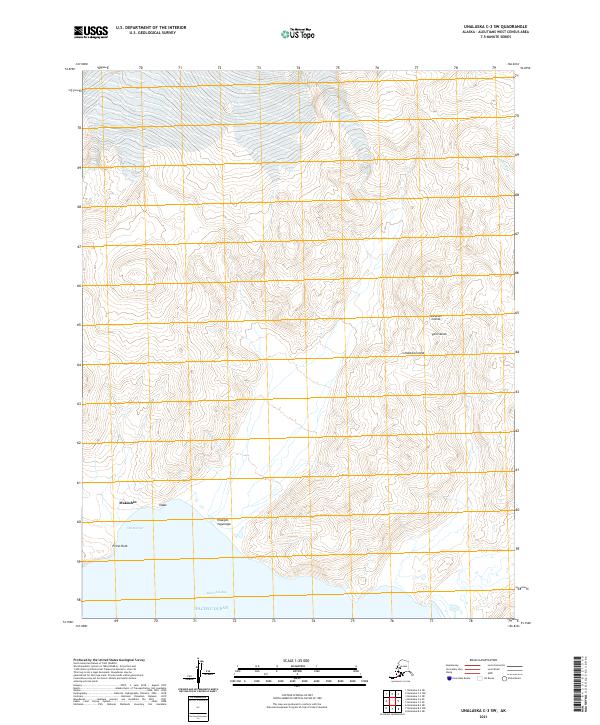
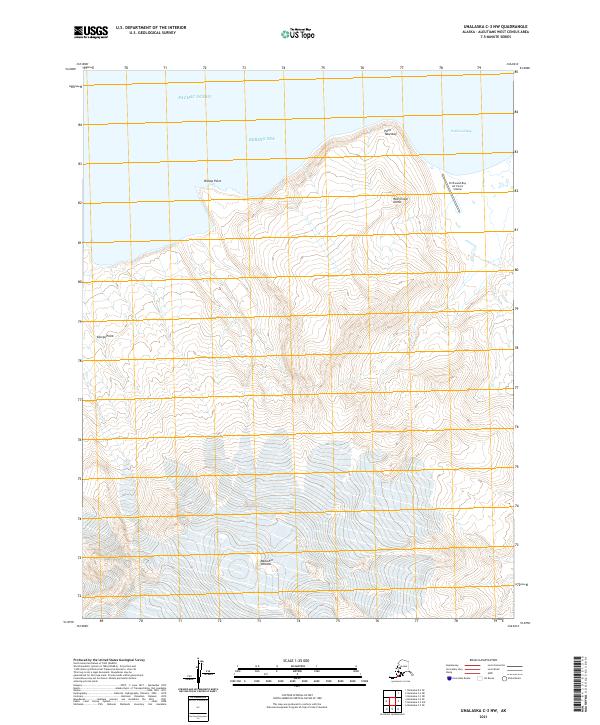
The western reaches of the Aleutian Islands meet the Bering Sea in this topographical study of a remote coastal landscape. The landform is characterized by sharp elevation changes rising directly from the shoreline, with Point Kodin and Koriga Point serving as the primary geographic markers on this segment of the Unalaska coast. This 2021 update utilizes modern elevation and hydrography data to delineate the intricate contours of the island's northwestern interior. Primarily defined by Public Land Survey System boundaries such as t72s r120w and t73s r121w, the map reflects a region largely untouched by permanent infrastructure or road networks, highlighting the raw coastal geology of the Aleutians West Census Area.
Find a feature on this map
7 named features on this map. Tap any name to fly to it.
Don’t see what you’re looking for? This feature index may not catch every label — zoom into the map to look around manually.
Map Details
Editions of this 2021 Unalaska C-4 NE Map
This is the sole edition of this map. No revisions or reprints were ever made.