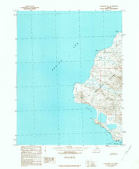
1989 Map of Unalaska C-4
USGS Topo · Published 1989About this map
Unalaska Island is defined by its dramatic volcanic coastline and the expansive waters of the Bering Sea in this late-twentieth-century study. The terrain is dominated by prominent elevations such as Round Top, while the western shore is carved by significant maritime features like Volcano Bay and the northern reaches of Makushin Bay. The absence of roads or established settlements on this portion of the island emphasizes the raw, natural state of the Aleutian landscape, where geographical markers like Cape Kovrizhka and Point Kadin serve as the primary points of orientation. Marine navigation is further detailed through landmarks such as Makushin Point and offshore hazards like Rock Islet and Rock No 1. This survey provides a precise look at the topographical contours and coastal protrusions before the turn of the millennium.
Find a feature on this map
11 named features on this map. Tap any name to fly to it.
Don’t see what you’re looking for? This feature index may not catch every label — zoom into the map to look around manually.
Map Details
Editions of this 1989 Unalaska C-4 Map
This is the sole edition of this map. No revisions or reprints were ever made.
Other maps of this area

1951 · Unalaska
USGS Topo · 1:250,000

1989 · Unalaska C-3
USGS Topo · 1:63,360
1989 · Unalaska D-3
USGS Topo · 1:63,360
1989 · Unalaska B-4
USGS Topo · 1:63,360

1989 · Unalaska B-3
USGS Topo · 1:63,360
2021 · Unalaska C-3 SW
USGS Topo · 1:25,000
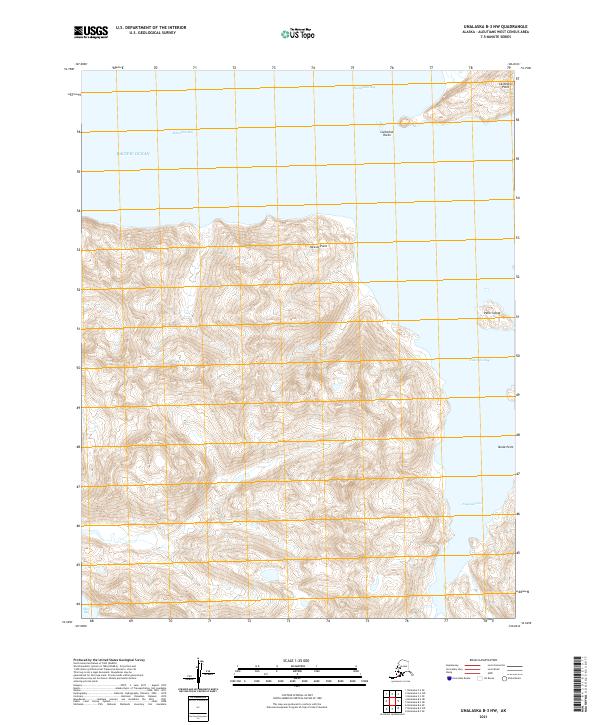
2021 · Unalaska B-3 NW
USGS Topo · 1:25,000
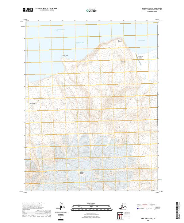
2021 · Unalaska C-3 NW
USGS Topo · 1:25,000
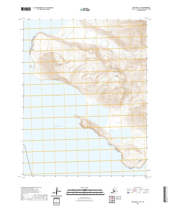
2021 · Unalaska C-4 SE
USGS Topo · 1:25,000
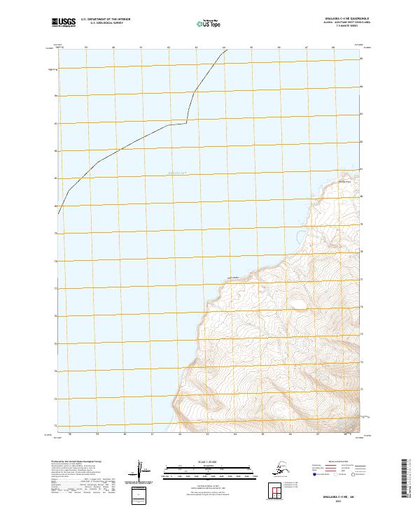
2021 · Unalaska C-4 NE
USGS Topo · 1:25,000