
1989 Map of Unalaska B-3
USGS Topo · Published 1989About this map
The Shaler Mountains dominate the central topography of this section of Unalaska Island, rising between a complex network of glacial fjords and inlets. The coastline is defined by deep indentations such as Makushin Bay in the northwest and the extensive Usof Bay to the southeast, illustrating the maritime character of the Aleutian chain. Inland, the terrain is characterized by steep summits and dramatic coastal features like Cathedral Rocks near Humpback Bay.
Find a feature on this map
22 named features on this map. Tap any name to fly to it.
Don’t see what you’re looking for? This feature index may not catch every label — zoom into the map to look around manually.
Map Details
Editions of this 1989 Unalaska B-3 Map
This is the sole edition of this map. No revisions or reprints were ever made.
Other maps of this area

1951 · Unalaska
USGS Topo · 1:250,000
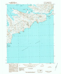
1989 · Unalaska A-4
USGS Topo · 1:63,360

1989 · Unalaska C-3
USGS Topo · 1:63,360
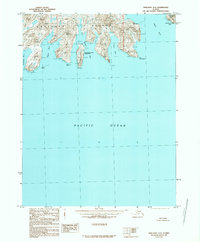
1989 · Unalaska A-3
USGS Topo · 1:63,360
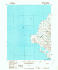
1989 · Unalaska C-4
USGS Topo · 1:63,360
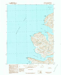
1989 · Unalaska B-4
USGS Topo · 1:63,360
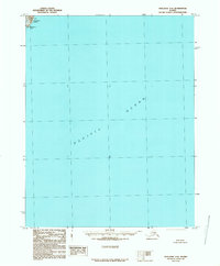
1989 · Unalaska A-2
USGS Topo · 1:63,360

1989 · Unalaska B-2
USGS Topo · 1:63,360

1990 · Unalaska C-2
USGS Topo · 1:63,360
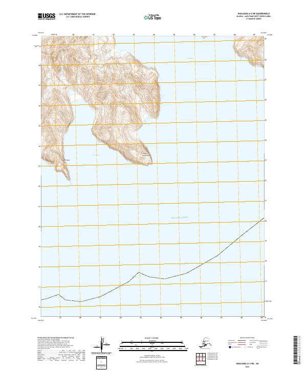
2021 · Unalaska A-3 NE
USGS Topo · 1:25,000