
1989 Map of Unalaska C-3
USGS Topo · Published 1989About this map
Makushin Volcano dominates this portion of Unalaska Island, rising above a complex landscape of glacial valleys and deep coastal inlets. This 1989 provisional survey, based on 1983 photography, captures the volcanic terrain before significant modern geothermal development. The northern coast is defined by Driftwood Bay and Point Tebenkof, where a remote Landing Strip provides one of the few points of access to the interior. The drainage systems of the Makushin River and Nateekin River carve through the island's center, while McLees Lake sits tucked near the eastern boundary. Distinctive maritime landmarks like Irishmans Hat and Priest Rock frame the approaches to Makushin Bay, illustrating the island's role as a navigational waypoint in the Bering Sea.
Find a feature on this map
23 named features on this map. Tap any name to fly to it.
Don’t see what you’re looking for? This feature index may not catch every label — zoom into the map to look around manually.
Map Details
Editions of this 1989 Unalaska C-3 Map
This is the sole edition of this map. No revisions or reprints were ever made.
Other maps of this area

1951 · Unalaska
USGS Topo · 1:250,000
1989 · Unalaska D-3
USGS Topo · 1:63,360
1989 · Unalaska C-4
USGS Topo · 1:63,360
1989 · Unalaska B-4
USGS Topo · 1:63,360
1989 · Unalaska D-2
USGS Topo · 1:63,360

1989 · Unalaska B-2
USGS Topo · 1:63,360

1989 · Unalaska B-3
USGS Topo · 1:63,360

1990 · Unalaska C-2
USGS Topo · 1:63,360
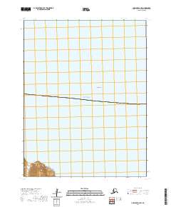
2020 · Unalaska D-2 SW
USGS Topo · 1:25,000
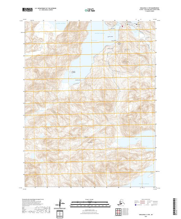
2021 · Unalaska C-2 SW
USGS Topo · 1:25,000