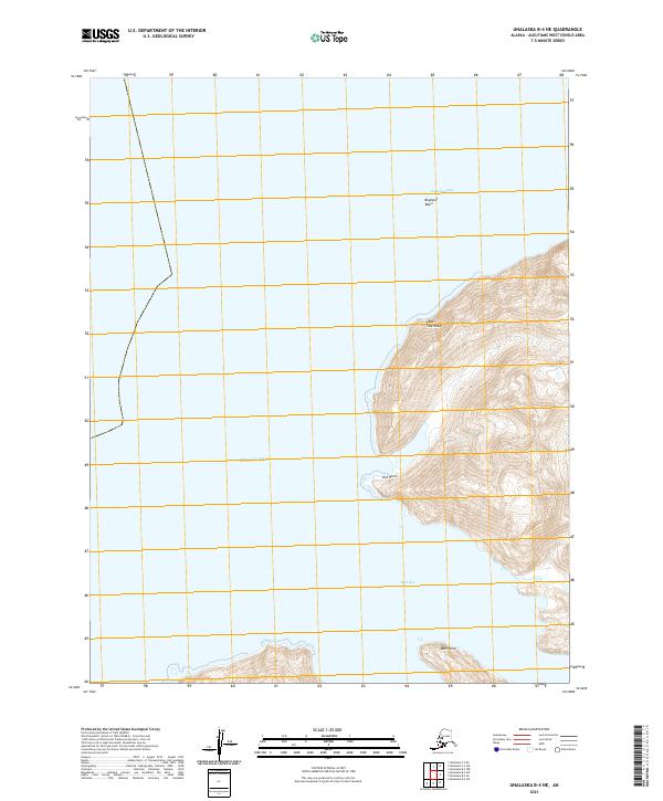
2021 Map of Unalaska B-4 NE
USGS Topo · Published 2021About this map
Makushin Bay and Skan Bay dominate this coastal survey of the Unalaska island chain, where the eastern shoreline meets the vast Bering Sea. The terrain is defined by dramatic coastal features like the high-relief Cape Starichkof and the prominent Kof Point. The presence of the Bogoslof Basin suggests complex seafloor topography just off the coast, while the interior landscape is marked by steep elevation rises moving inland from Skan Point. This map provides a clear record of the uninhabited maritime environment, focusing entirely on the natural geography and nautical landmarks that define this portion of the Aleutian Islands.
Find a feature on this map
13 named features on this map. Tap any name to fly to it.
Don’t see what you’re looking for? This feature index may not catch every label — zoom into the map to look around manually.
Map Details
Editions of this 2021 Unalaska B-4 NE Map
This is the sole edition of this map. No revisions or reprints were ever made.
Other maps of this area

1951 · Unalaska
USGS Topo · 1:250,000

1989 · Unalaska C-3
USGS Topo · 1:63,360
1989 · Unalaska C-4
USGS Topo · 1:63,360
1989 · Unalaska B-4
USGS Topo · 1:63,360

1989 · Unalaska B-3
USGS Topo · 1:63,360
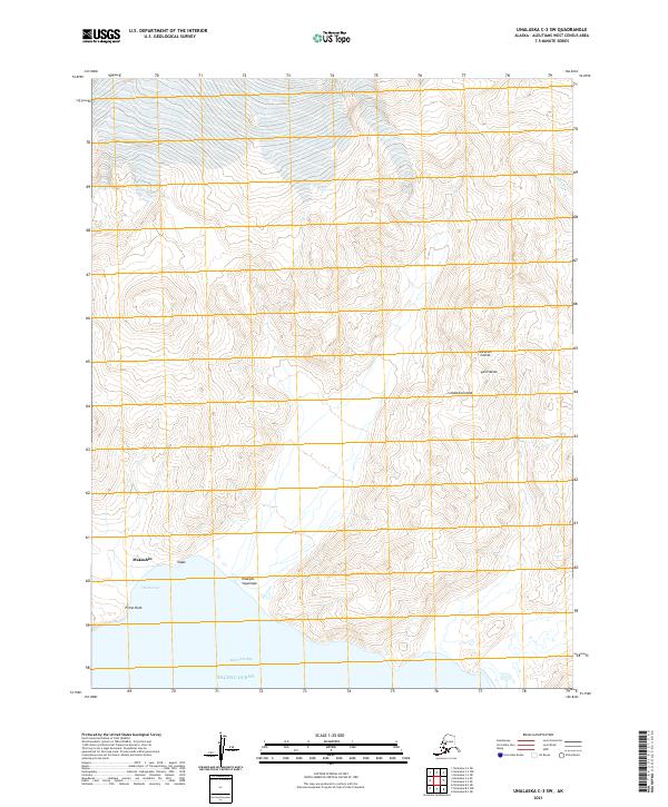
2021 · Unalaska C-3 SW
USGS Topo · 1:25,000
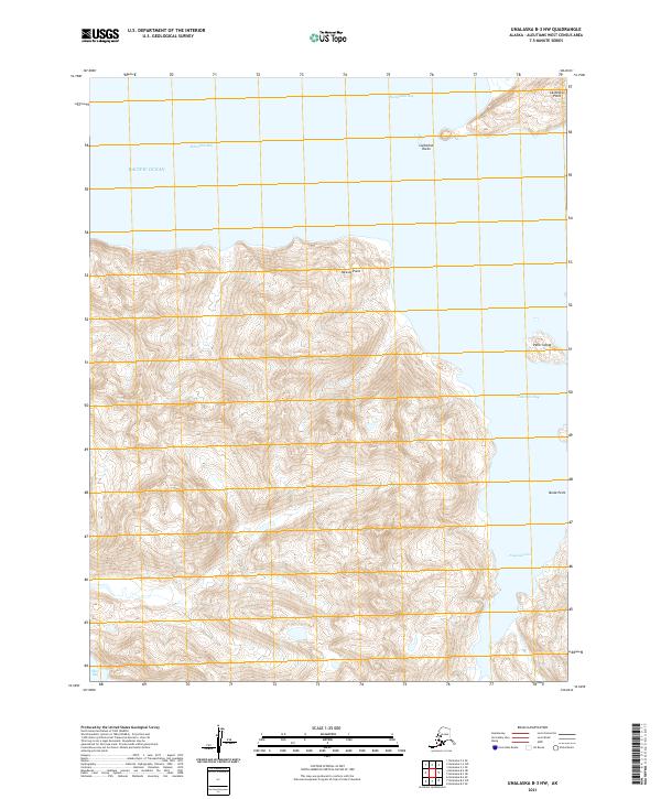
2021 · Unalaska B-3 NW
USGS Topo · 1:25,000
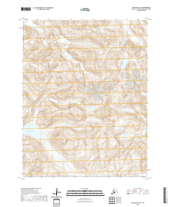
2021 · Unalaska B-3 SW
USGS Topo · 1:25,000
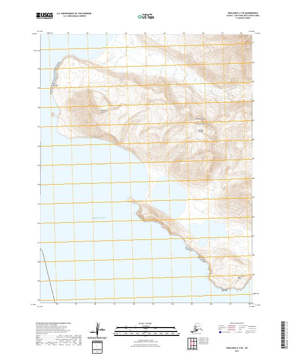
2021 · Unalaska C-4 SE
USGS Topo · 1:25,000
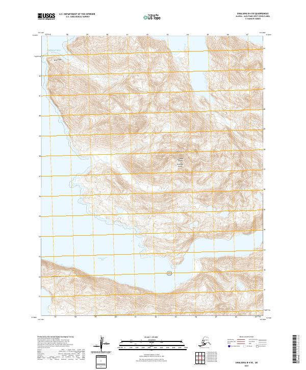
2021 · Unalaska B-4 SE
USGS Topo · 1:25,000