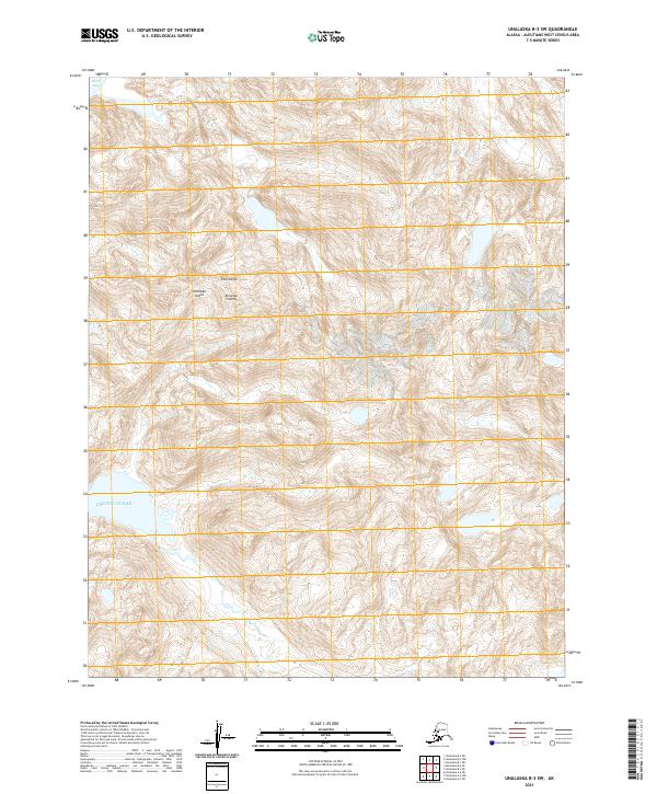
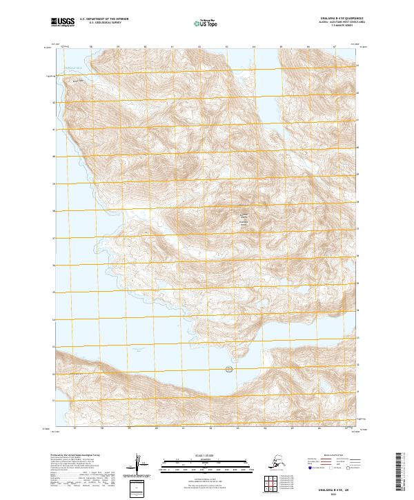
2021 Map of Unalaska B-3 SW
USGS Topo · Published 2021About this map
Unalaska Island dominates this 2021 topographic survey, showcasing the severe, unpopulated terrain of the Fox Islands chain. Located within the broader Aleutian Islands, the land is defined by steep elevation changes and intricate coastal inlets. The northwestern corner reveals the protected waters of Skan Bay, while the southwestern shoreline meets the open Pacific Ocean. This map highlights the raw geological character of the region, where high peaks drop sharply toward the sea, largely untouched by permanent settlements or infrastructure. The inclusion of the Public Land Survey System boundaries, such as t76s r121w and t77s r122w, provides a modern administrative grid over this ancient volcanic landscape, useful for researchers tracking land management in the Aleutians West Census Area.
Find a feature on this map
9 named features on this map. Tap any name to fly to it.
Don’t see what you’re looking for? This feature index may not catch every label — zoom into the map to look around manually.
Map Details
Editions of this 2021 Unalaska B-3 SW Map
This is the sole edition of this map. No revisions or reprints were ever made.
Other maps of this area

1951 · Unalaska
USGS Topo · 1:250,000
1989 · Unalaska A-4
USGS Topo · 1:63,360
1989 · Unalaska A-3
USGS Topo · 1:63,360
1989 · Unalaska B-4
USGS Topo · 1:63,360

1989 · Unalaska B-3
USGS Topo · 1:63,360
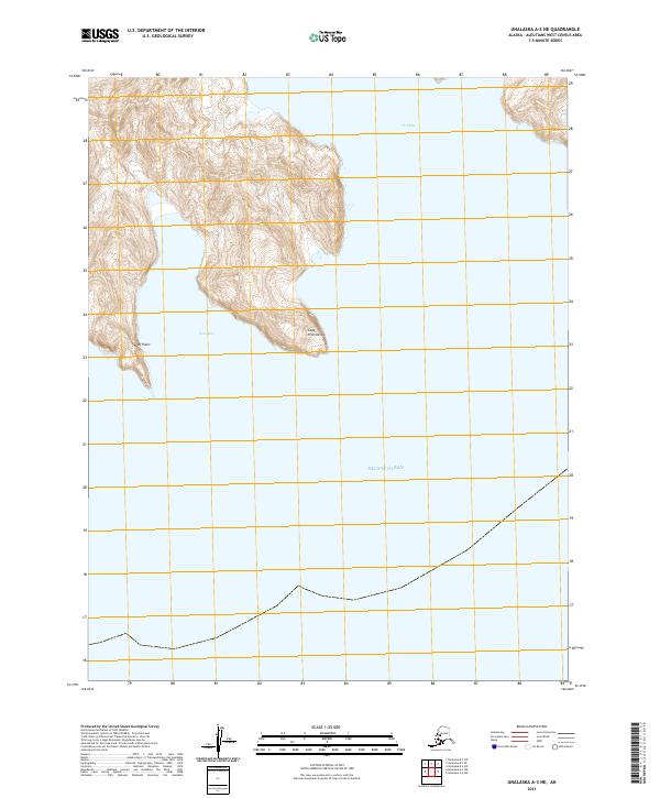
2021 · Unalaska A-3 NE
USGS Topo · 1:25,000
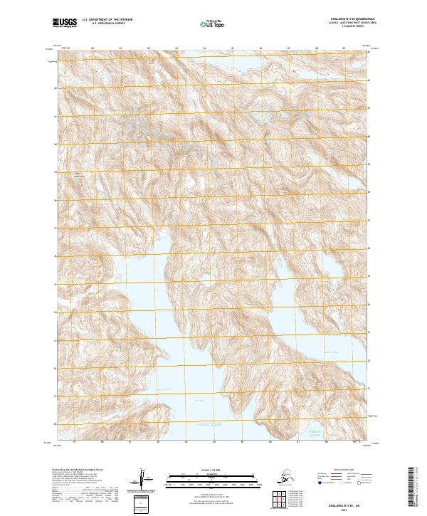
2021 · Unalaska B-3 SE
USGS Topo · 1:25,000
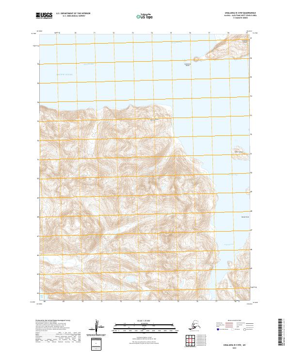
2021 · Unalaska B-3 NW
USGS Topo · 1:25,000
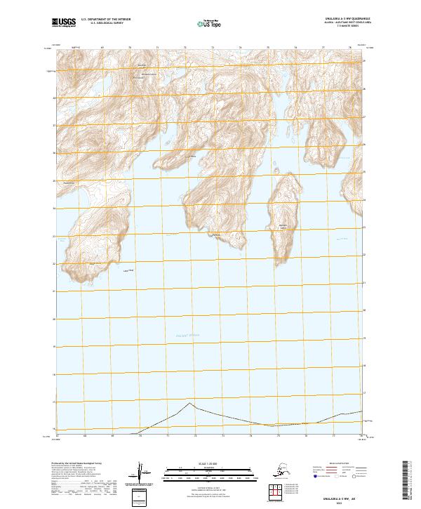
2021 · Unalaska A-3 NW
USGS Topo · 1:25,000
2021 · Unalaska B-4 SE
USGS Topo · 1:25,000