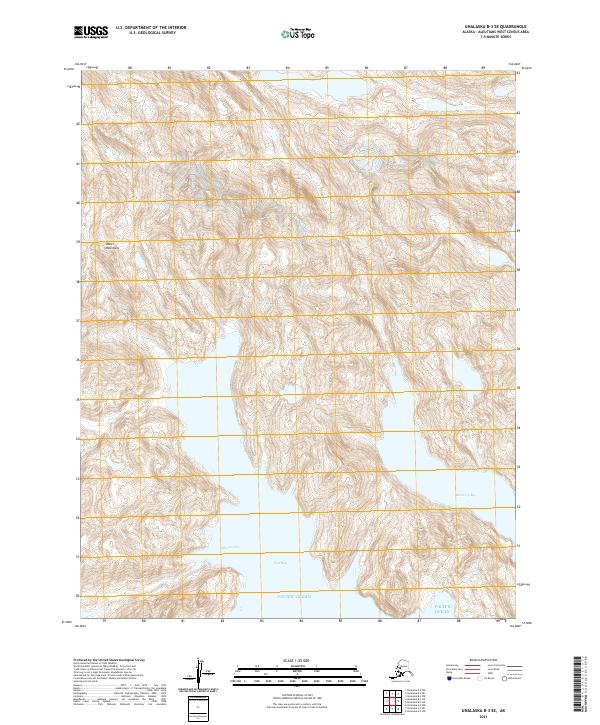
2021 Map of Unalaska B-3 SE
USGS Topo · Published 2021About this map
The Shaler Mountains dominate the interior of this coastal Aleutian landscape, rising sharply from the waters of the Pacific Ocean. This high-altitude terrain is marked by steep elevation changes that drop into the protected waters of Usof Bay and Blueberry Bay to the southeast. The survey highlights a remote coastal interface where glacial or tectonic activity has carved deep indentations like Johnson Cove, creating a complex shoreline typical of Unalaska Island. The absence of roads or permanent settlements in this quadrangle reflects the extreme isolation of the Aleutian range during the early twenty-first century, with the land defined primarily by its vertical relief and maritime boundaries.
Find a feature on this map
9 named features on this map. Tap any name to fly to it.
Don’t see what you’re looking for? This feature index may not catch every label — zoom into the map to look around manually.
Map Details
Editions of this 2021 Unalaska B-3 SE Map
This is the sole edition of this map. No revisions or reprints were ever made.
Other maps of this area

1951 · Unalaska
USGS Topo · 1:250,000
1989 · Unalaska A-3
USGS Topo · 1:63,360
1989 · Unalaska A-2
USGS Topo · 1:63,360

1989 · Unalaska B-2
USGS Topo · 1:63,360

1989 · Unalaska B-3
USGS Topo · 1:63,360
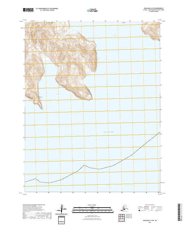
2021 · Unalaska A-3 NE
USGS Topo · 1:25,000
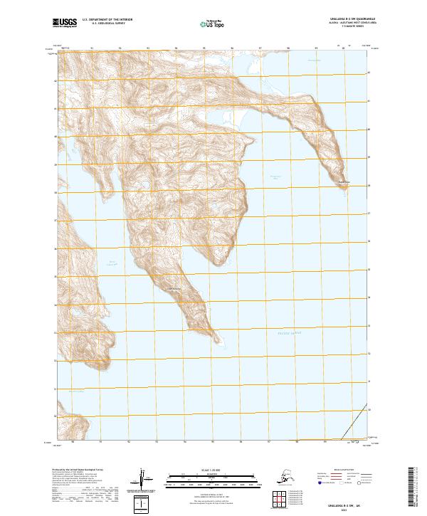
2021 · Unalaska B-2 SW
USGS Topo · 1:25,000
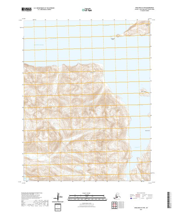
2021 · Unalaska B-3 NW
USGS Topo · 1:25,000
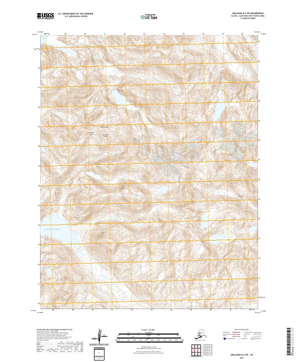
2021 · Unalaska B-3 SW
USGS Topo · 1:25,000
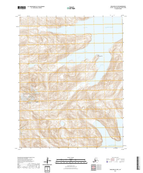
2021 · Unalaska B-2 NW
USGS Topo · 1:25,000