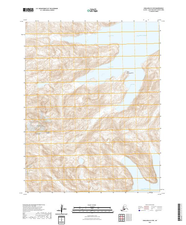
2021 Map of Unalaska B-2 NW
USGS Topo · Published 2021About this map
Unalaska Island is mapped here in detail, showcasing the dramatic coastline of the Fox Islands chain within the Aleutian Islands. This 2021 survey illustrates the complex maritime geography where the Pacific Ocean meets several named inlets, including Erskine Bay and the deeply recessed Kisselev Bay. The terrain is characterized by steep contours rising sharply from the water's edge to significant elevations, notably at Yagim Aantuuddayulux. The absence of roads or established settlements emphasizes the wilderness character of this region, which remains largely shaped by natural processes and maritime influence. Localized features like Final Bay provide specific points of reference for navigating the intricate shoreline of this remote island landscape.
Find a feature on this map
14 named features on this map. Tap any name to fly to it.
Don’t see what you’re looking for? This feature index may not catch every label — zoom into the map to look around manually.
Map Details
Editions of this 2021 Unalaska B-2 NW Map
This is the sole edition of this map. No revisions or reprints were ever made.
Other maps of this area

1951 · Unalaska
USGS Topo · 1:250,000

1989 · Unalaska C-3
USGS Topo · 1:63,360

1989 · Unalaska B-2
USGS Topo · 1:63,360

1989 · Unalaska B-3
USGS Topo · 1:63,360

1990 · Unalaska C-2
USGS Topo · 1:63,360
2020 · Unalaska B-2 SE
USGS Topo · 1:25,000
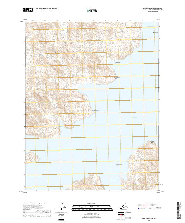
2021 · Unalaska C-2 SE
USGS Topo · 1:25,000
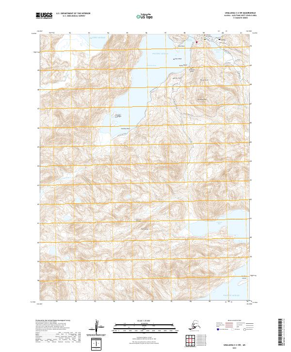
2021 · Unalaska C-2 SW
USGS Topo · 1:25,000
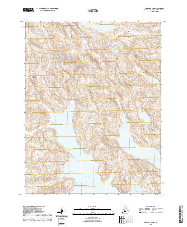
2021 · Unalaska B-3 SE
USGS Topo · 1:25,000
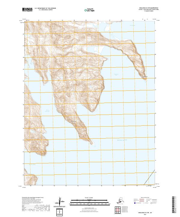
2021 · Unalaska B-2 SW
USGS Topo · 1:25,000