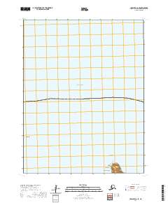
2020 Map of Unalaska D-2 SE
USGS Topo · Published 2020About this map
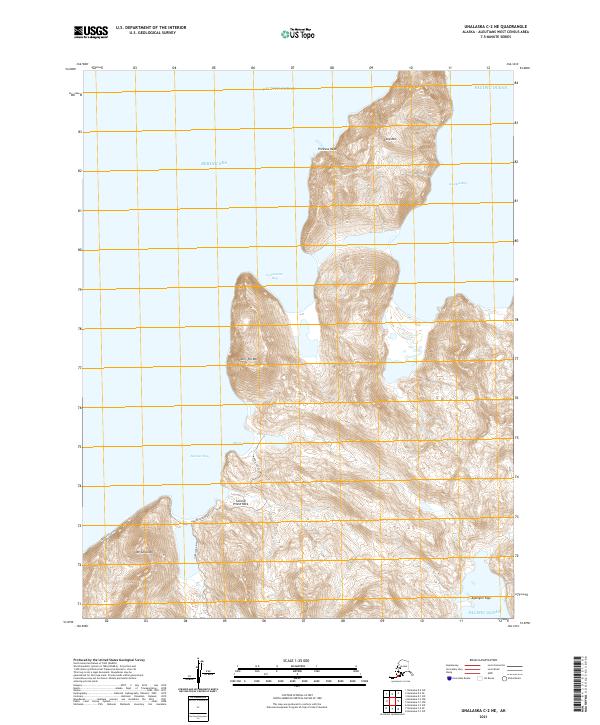
The maritime frontier of the Fox Islands is defined by the steep transition from the volcanic heights of Unalaska Island to the vast expanse of the Bering Sea. This 2020 topographic study focuses on the northernmost reaches of the island, where the landform terminates at the prominent Cape Kalekta. The terrain is dominated by the ridges of the Aleutian Islands chain, with the offshore landmark Priest Rock serving as a distinct navigational feature along the coastline. While the modern boundary of Unalaska is noted, the map primarily illustrates the unpopulated coastal topography and the surveying grids of t71s r117w and t71s r116w. The lack of inland roads or infrastructure emphasizes the maritime isolation and biological significance of this subarctic archipelago.
Find a feature on this map
9 named features on this map. Tap any name to fly to it.
Don’t see what you’re looking for? This feature index may not catch every label — zoom into the map to look around manually.
Map Details
Editions of this 2020 Unalaska D-2 SE Map
This is the sole edition of this map. No revisions or reprints were ever made.
Other maps of this area

1951 · Unalaska
USGS Topo · 1:250,000
1989 · Unalaska D-1
USGS Topo · 1:63,360
1989 · Unalaska D-2
USGS Topo · 1:63,360
1989 · Unalaska C-1
USGS Topo · 1:63,360

1990 · Unalaska C-2
USGS Topo · 1:63,360
2020 · Unalaska D-1 SW
USGS Topo · 1:25,000
2020 · Unalaska D-2 SW
USGS Topo · 1:25,000
2020 · Unalaska C-1 NW
USGS Topo · 1:25,000
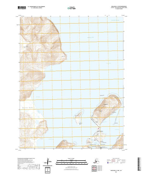
2021 · Unalaska C-2 NW
USGS Topo · 1:25,000
2021 · Unalaska C-2 NE
USGS Topo · 1:25,000