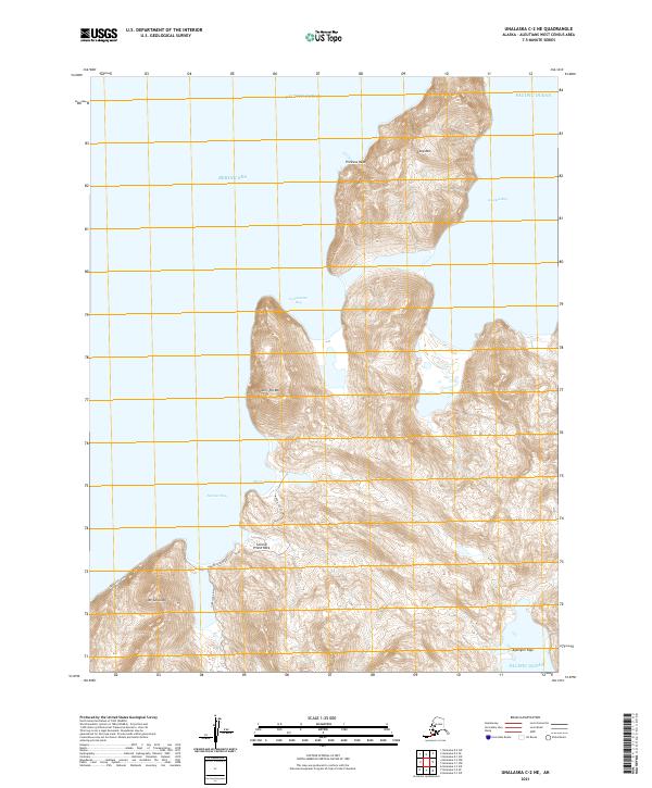
2021 Map of Unalaska C-2 NE
USGS Topo · Published 2021About this map
Deeply indented by the Bering Sea and Pacific Ocean, this maritime landscape on Unalaska Island is defined by steep volcanic peaks and dramatic coastal inlets. High points like Split Top Mtn and Long Mtn tower over the surrounding waters, while the northern coastline is punctuated by Princess Head. Coastal access is concentrated around Morris Cove and Summer Bay, where a handful of local tracks like Summer Bay Road and Overland Drive skirt the shoreline. The transition from the sheer cliffs of Mt Coxcomb to the tidal reaches of Kelekta Bay illustrates the stark topography of the Aleutian chain. This 2021 update from the U.S. Geological Survey maps the intricate shoreline and interior heights, including the notable landmark at Second Priest Rock.
Find a feature on this map
24 named features on this map. Tap any name to fly to it.
Don’t see what you’re looking for? This feature index may not catch every label — zoom into the map to look around manually.
Map Details
Editions of this 2021 Unalaska C-2 NE Map
This is the sole edition of this map. No revisions or reprints were ever made.
Other maps of this area

1951 · Unalaska
USGS Topo · 1:250,000
1989 · Unalaska D-1
USGS Topo · 1:63,360
1989 · Unalaska D-2
USGS Topo · 1:63,360
1989 · Unalaska C-1
USGS Topo · 1:63,360

1990 · Unalaska C-2
USGS Topo · 1:63,360
2020 · Unalaska D-1 SW
USGS Topo · 1:25,000
2020 · Unalaska D-2 SW
USGS Topo · 1:25,000
2020 · Unalaska C-1 NW
USGS Topo · 1:25,000
2020 · Unalaska D-2 SE
USGS Topo · 1:25,000
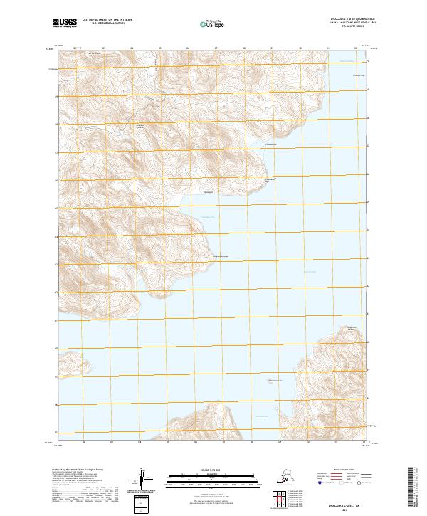
2021 · Unalaska C-2 SE
USGS Topo · 1:25,000