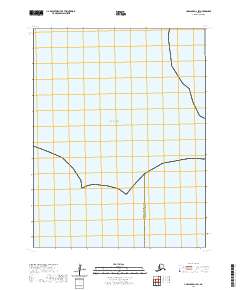
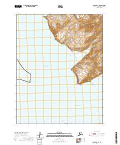
2020 Map of Unalaska D-1 SW
USGS Topo · Published 2020About this map
The Bering Sea dominates this maritime survey, illustrating a remote stretch of the Aleutian Islands maritime landscape. This portion of the archipelago is defined by its administrative boundaries rather than terrestrial settlements, marking the transition between the Aleutians West Census Area and Aleutians East Borough. The map primarily serves as a record of maritime territory and public land survey divisions, including T70s R114w and T71s R115w. It highlights the expansive reach of the North Pacific waters in a region where land is sparse and maritime navigation is the primary focus.
Find a feature on this map
5 named features on this map. Tap any name to fly to it.
Don’t see what you’re looking for? This feature index may not catch every label — zoom into the map to look around manually.
Map Details
Editions of this 2020 Unalaska D-1 SW Map
This is the sole edition of this map. No revisions or reprints were ever made.
Other maps of this area

1951 · Unalaska
USGS Topo · 1:250,000
1989 · Unalaska D-1
USGS Topo · 1:63,360
1989 · Unalaska D-2
USGS Topo · 1:63,360
1989 · Unalaska C-1
USGS Topo · 1:63,360

1990 · Unalaska C-2
USGS Topo · 1:63,360
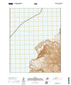
2020 · Unalaska D-1 NE
USGS Topo · 1:25,000
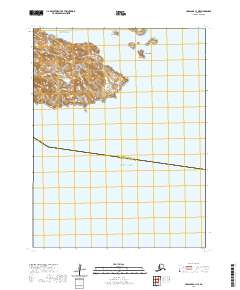
2020 · Unalaska C-1 NE
USGS Topo · 1:25,000
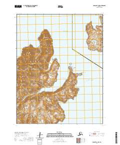
2020 · Unalaska C-1 NW
USGS Topo · 1:25,000
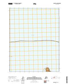
2020 · Unalaska D-2 SE
USGS Topo · 1:25,000
2020 · Unalaska D-1 SE
USGS Topo · 1:25,000