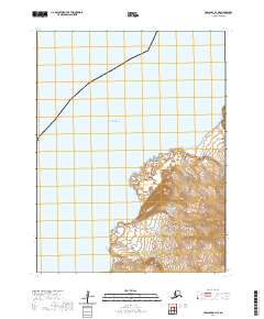
2020 Map of Unalaska D-1 NE
USGS Topo · Published 2020About this map
The Fox Islands archipelago meets the southern reaches of the Bering Sea in this topographic study of the Aleutian chain. This specific section of the Krenitzin Islands is characterized by its volcanic coastline, where the dramatic topography of the Aleutian Islands terminates at landforms like Lava Point. The lack of inland infrastructure or named settlements highlights the isolated nature of this volcanic landscape, where the primary features are defined by the interface of land and water.
Find a feature on this map
11 named features on this map. Tap any name to fly to it.
Don’t see what you’re looking for? This feature index may not catch every label — zoom into the map to look around manually.
Map Details
Editions of this 2020 Unalaska D-1 NE Map
This is the sole edition of this map. No revisions or reprints were ever made.
Other maps of this area

1951 · Unalaska
USGS Topo · 1:250,000

1951 · Unimak
USGS Topo · 1:250,000

1958 · Unimak
USGS Topo · 1:250,000

1989 · Unimak A-6
USGS Topo · 1:63,360
1989 · Unalaska D-1
USGS Topo · 1:63,360
1989 · Unimak B-6
USGS Topo · 1:63,360
2020 · Unalaska D-1 SW
USGS Topo · 1:25,000
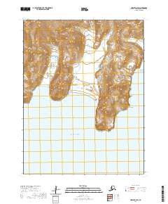
2020 · Unimak A-6 SW
USGS Topo · 1:25,000
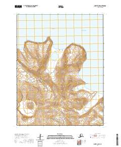
2020 · Unimak A-6 NW
USGS Topo · 1:25,000
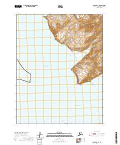
2020 · Unalaska D-1 SE
USGS Topo · 1:25,000