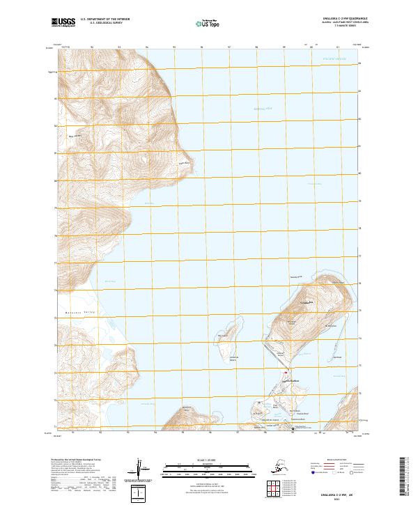
2021 Map of Unalaska C-2 NW
USGS Topo · Published 2021About this map
Unalaska and Dutch Harbor anchor this coastal landscape where the Bering Sea meets the Pacific Ocean. The map documents a critical maritime and aviation hub, centered on the infrastructure of Amaknak Island, which is connected by the Airport Beach Road. Notable landmarks include the Unalaska Airport and the historic Holy Ascension Cathedral Church Cem, reflecting the deep cultural roots of the area. The terrain is defined by dramatic elevations such as Mt Ballyhoo and Ulakta Head, overlooking protected waters like Iliuliuk Bay and Margaret Bay. Defensive and maritime history is evident at Bunker Hill and along Arkansas Beach, while the complex coastline is dotted with hazards and markers like Iliuliuk Reef, Tuscarora Rock, and Arch Rock. This modern survey details the interface between the industrial harbor facilities and the steep, glaciated valleys of the Makushin Valley and Table Top Mtn.
Find a feature on this map
54 named features on this map. Tap any name to fly to it.
Don’t see what you’re looking for? This feature index may not catch every label — zoom into the map to look around manually.
Map Details
Editions of this 2021 Unalaska C-2 NW Map
This is the sole edition of this map. No revisions or reprints were ever made.
Other maps of this area

1951 · Unalaska
USGS Topo · 1:250,000

1989 · Unalaska C-3
USGS Topo · 1:63,360
1989 · Unalaska D-3
USGS Topo · 1:63,360
1989 · Unalaska D-2
USGS Topo · 1:63,360

1990 · Unalaska C-2
USGS Topo · 1:63,360
2020 · Unalaska D-2 SW
USGS Topo · 1:25,000
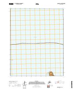
2020 · Unalaska D-2 SE
USGS Topo · 1:25,000
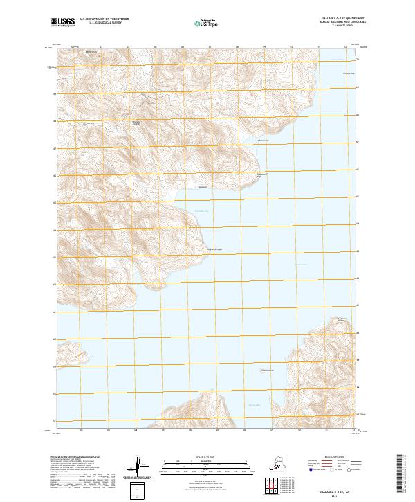
2021 · Unalaska C-2 SE
USGS Topo · 1:25,000
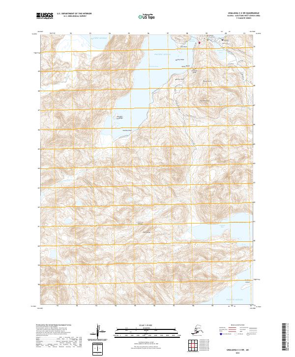
2021 · Unalaska C-2 SW
USGS Topo · 1:25,000
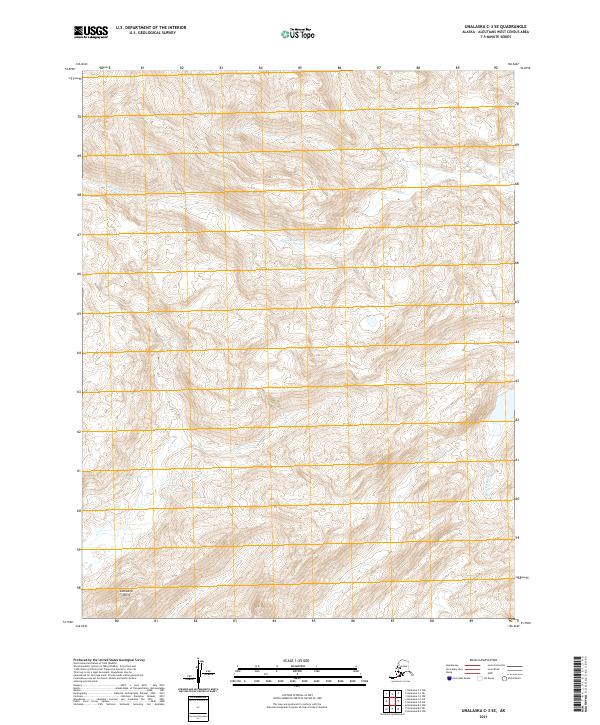
2021 · Unalaska C-3 SE
USGS Topo · 1:25,000