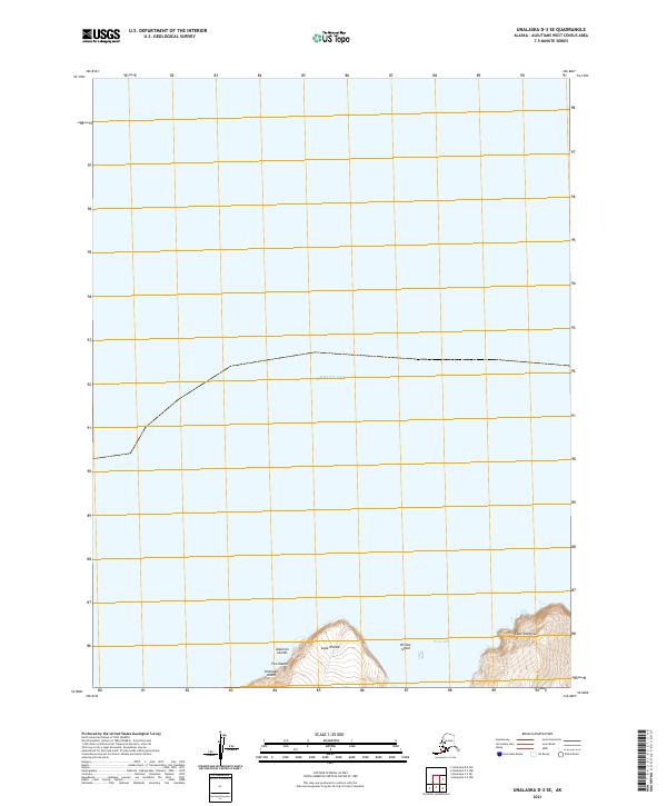
2021 Map of Unalaska D-3 SE
USGS Topo · Published 2021About this map
Cape Wislow and Cape Cheerful define the rugged northern coastline of Unalaska Island in this coastal survey. Located within the Fox Islands chain of the Aleutian Islands, the map focuses on the interface between land and the Bering Sea. The landscape is dominated by high-relief coastal topography, featuring the sheltered waters of Reese Bay and the small landmass of Wislow Island. The absence of developed roads or settlements highlights the isolation of this portion of the Aleutians West Census Area, where geographic features like named capes served as primary landmarks for maritime navigation and coastal surveying.
Find a feature on this map
10 named features on this map. Tap any name to fly to it.
Don’t see what you’re looking for? This feature index may not catch every label — zoom into the map to look around manually.
Map Details
Editions of this 2021 Unalaska D-3 SE Map
This is the sole edition of this map. No revisions or reprints were ever made.
Other maps of this area

1951 · Unalaska
USGS Topo · 1:250,000

1989 · Unalaska C-3
USGS Topo · 1:63,360
1989 · Unalaska D-3
USGS Topo · 1:63,360
1989 · Unalaska D-2
USGS Topo · 1:63,360

1990 · Unalaska C-2
USGS Topo · 1:63,360
2020 · Unalaska D-2 SW
USGS Topo · 1:25,000
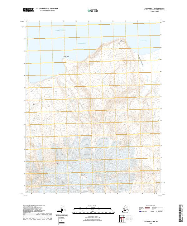
2021 · Unalaska C-3 NW
USGS Topo · 1:25,000
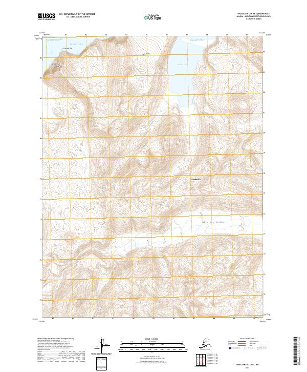
2021 · Unalaska C-3 NE
USGS Topo · 1:25,000
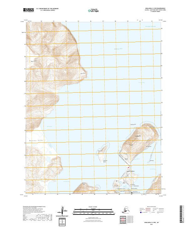
2021 · Unalaska C-2 NW
USGS Topo · 1:25,000