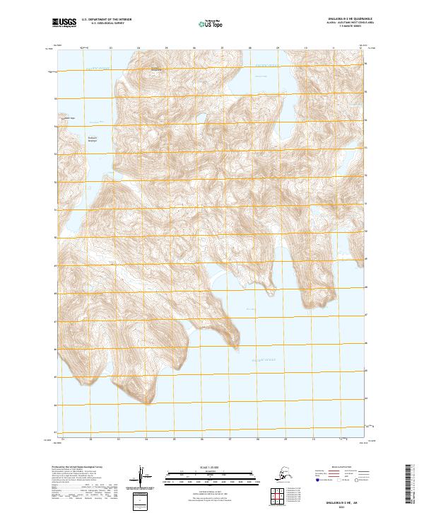
2021 Map of Unalaska B-2 NE
USGS Topo · Published 2021About this map
Amugul Bay and Udagak Bay carve deep into the Aleutian coastline on this modern topographic survey, which documents the extreme coastal relief of Unalaska Island. The landscape is defined by its dramatic maritime topography, featuring unnamed peaks that rise sharply from the Pacific Ocean to heights well over 2,000 feet. Named terrain features such as Klichxix Kangaxlax and Tanasxan Yaga stand as prominent landmarks in a region largely devoid of human infrastructure. The intricate coastline includes smaller inlets like Hive Bay and Tanaskan Bay, as well as the named water feature of Ulalux. The survey precisely maps the township and range lines across this maritime wilderness, capturing the island's isolation and its characteristic island-arc geography.
Find a feature on this map
16 named features on this map. Tap any name to fly to it.
Don’t see what you’re looking for? This feature index may not catch every label — zoom into the map to look around manually.
Map Details
Editions of this 2021 Unalaska B-2 NE Map
This is the sole edition of this map. No revisions or reprints were ever made.
Other maps of this area

1951 · Unalaska
USGS Topo · 1:250,000
1989 · Unalaska B-1
USGS Topo · 1:63,360
1989 · Unalaska C-1
USGS Topo · 1:63,360

1989 · Unalaska B-2
USGS Topo · 1:63,360

1990 · Unalaska C-2
USGS Topo · 1:63,360
2020 · Unalaska B-2 SE
USGS Topo · 1:25,000
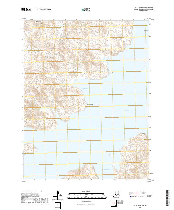
2021 · Unalaska C-2 SE
USGS Topo · 1:25,000
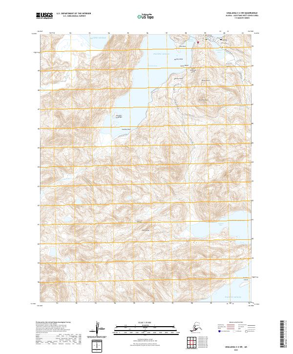
2021 · Unalaska C-2 SW
USGS Topo · 1:25,000
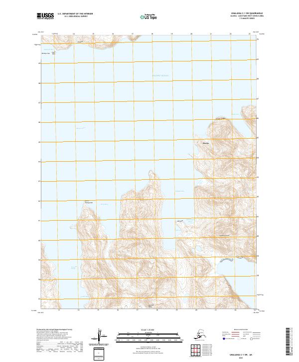
2021 · Unalaska C-1 SW
USGS Topo · 1:25,000
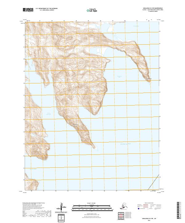
2021 · Unalaska B-2 SW
USGS Topo · 1:25,000