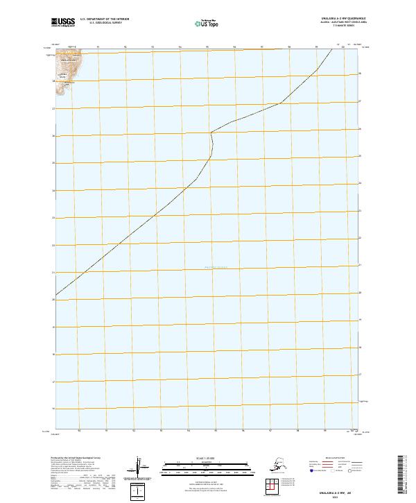
2021 Map of Unalaska A-2 NW
USGS Topo · Published 2021About this map
Whalebone Cape stands as a prominent coastal landmark on the northwestern edge of Unalaska Island, overlooking the vast reach of the Pacific Ocean. This corner of the Fox Islands chain within the Aleutian Islands is characterized by its steep maritime terrain, where landmass gives way almost entirely to open sea. The map detail is concentrated in the extreme northwest, leaving the majority of the quadrangle to define the nautical boundaries of the Aleutians West Census Area.
Find a feature on this map
8 named features on this map. Tap any name to fly to it.
Don’t see what you’re looking for? This feature index may not catch every label — zoom into the map to look around manually.
Map Details
Editions of this 2021 Unalaska A-2 NW Map
This is the sole edition of this map. No revisions or reprints were ever made.
Other maps of this area

1951 · Unalaska
USGS Topo · 1:250,000
1989 · Unalaska A-3
USGS Topo · 1:63,360
1989 · Unalaska A-2
USGS Topo · 1:63,360

1989 · Unalaska B-2
USGS Topo · 1:63,360

1989 · Unalaska B-3
USGS Topo · 1:63,360
2020 · Unalaska B-2 SE
USGS Topo · 1:25,000
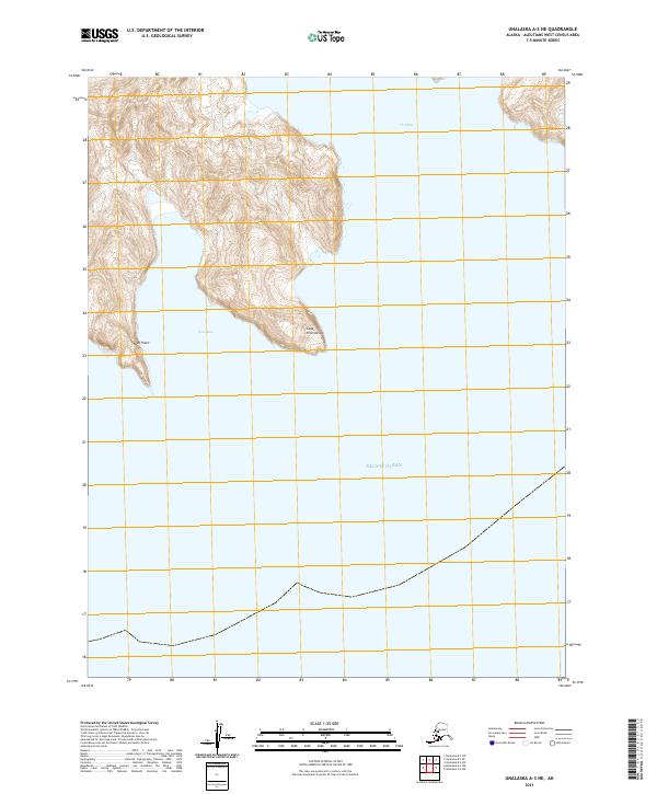
2021 · Unalaska A-3 NE
USGS Topo · 1:25,000
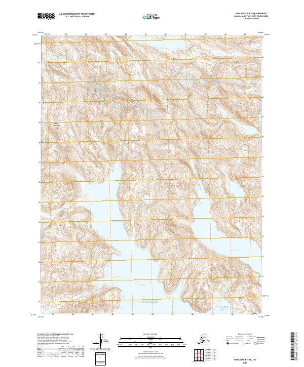
2021 · Unalaska B-3 SE
USGS Topo · 1:25,000
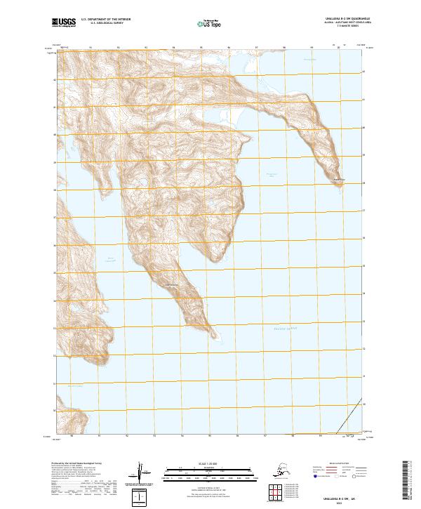
2021 · Unalaska B-2 SW
USGS Topo · 1:25,000