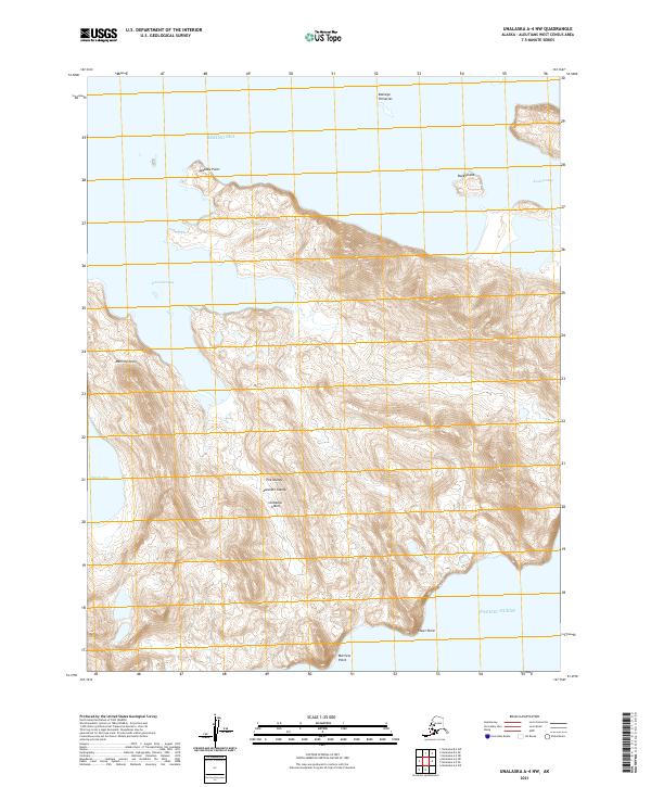
2021 Map of Unalaska A-4 NW
USGS Topo · Published 2021About this map
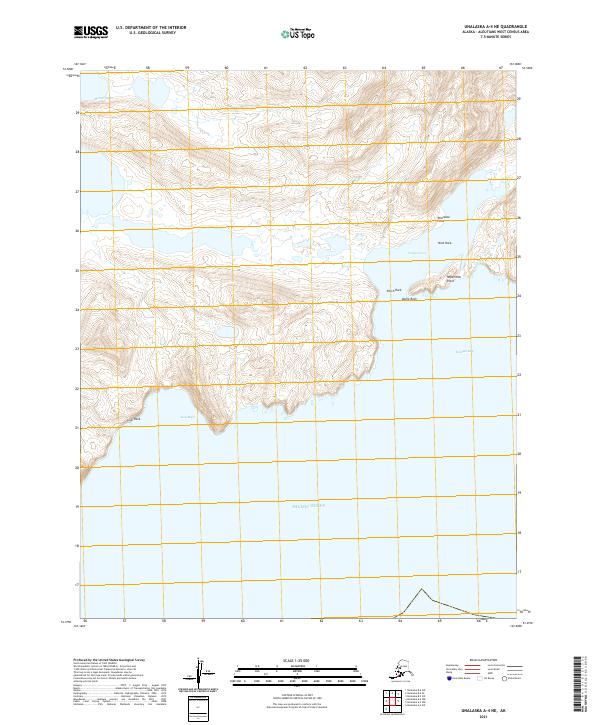
Unalaska Island, part of the Fox Islands in the larger Aleutian Islands chain, presents a landscape defined by dramatic maritime interfaces and steep coastal topography. The coastline is deeply indented by substantial water bodies such as Kismaliuk Bay and Alimuda Bay on the western shore, while Kashega Bay and the smaller Buck Bight open toward the Bering Sea to the northeast. This 2021 topographic survey provides a precise look at the points and pinnacles that guide navigation in these northern waters, including the sharp Kashega Pinnacles and the southern reach of Buttress Point. The interior is largely dominated by high-relief terrain, with the map reaching south to the Pacific Ocean near Tower Point, illustrating the narrow breadth of the island at this specific northern latitude.
Find a feature on this map
19 named features on this map. Tap any name to fly to it.
Don’t see what you’re looking for? This feature index may not catch every label — zoom into the map to look around manually.
Map Details
Editions of this 2021 Unalaska A-4 NW Map
This is the sole edition of this map. No revisions or reprints were ever made.
Other maps of this area

1951 · Unalaska
USGS Topo · 1:250,000

1989 · Unalaska A-5
USGS Topo · 1:63,360
1989 · Unalaska A-4
USGS Topo · 1:63,360
1989 · Unalaska B-4
USGS Topo · 1:63,360
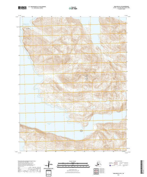
2021 · Unalaska B-4 SE
USGS Topo · 1:25,000
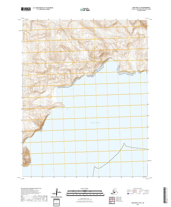
2021 · Unalaska A-5 SE
USGS Topo · 1:25,000
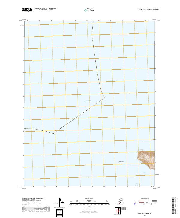
2021 · Unalaska B-4 SW
USGS Topo · 1:25,000
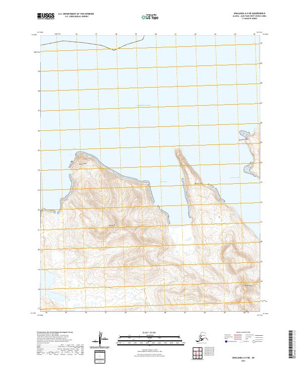
2021 · Unalaska A-5 NE
USGS Topo · 1:25,000
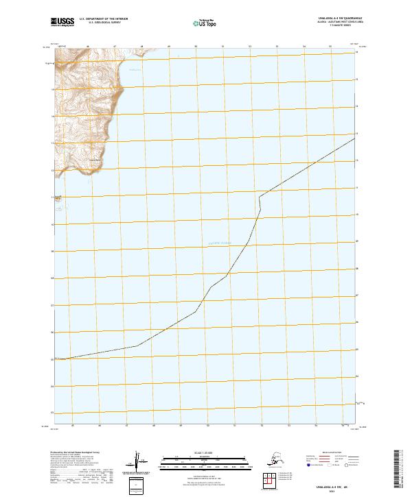
2021 · Unalaska A-4 SW
USGS Topo · 1:25,000
2021 · Unalaska A-4 NE
USGS Topo · 1:25,000