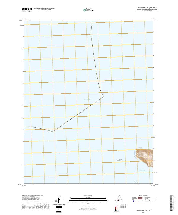
2021 Map of Unalaska B-4 SW
USGS Topo · Published 2021About this map
The Bering Sea dominates this maritime survey, illustrating the underwater topography and coastal boundaries of the Aleutian Islands region. The map focuses on the submerged features of the continental shelf, most notably the steep descent of East Bogoslof Canyon, which marks a significant transition in the seafloor landscape. Along the rugged coastline, McIver Bight provides a named reference point for the intersection of land and water in this isolated part of the archipelago. This 2021 edition provides a clear view of the Public Land Survey System grids, including t77s r123w and t77s r124w, which are essential for identifying specific maritime and coastal locations within the Aleutians West Census Area.
Find a feature on this map
6 named features on this map. Tap any name to fly to it.
Don’t see what you’re looking for? This feature index may not catch every label — zoom into the map to look around manually.
Map Details
Editions of this 2021 Unalaska B-4 SW Map
This is the sole edition of this map. No revisions or reprints were ever made.
Other maps of this area

1951 · Unalaska
USGS Topo · 1:250,000

1989 · Unalaska A-5
USGS Topo · 1:63,360
1989 · Unalaska A-4
USGS Topo · 1:63,360
1989 · Unalaska B-4
USGS Topo · 1:63,360
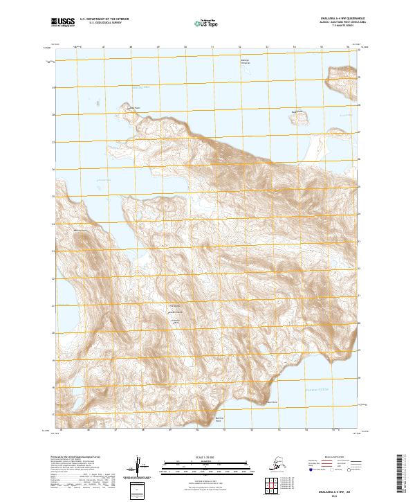
2021 · Unalaska A-4 NW
USGS Topo · 1:25,000
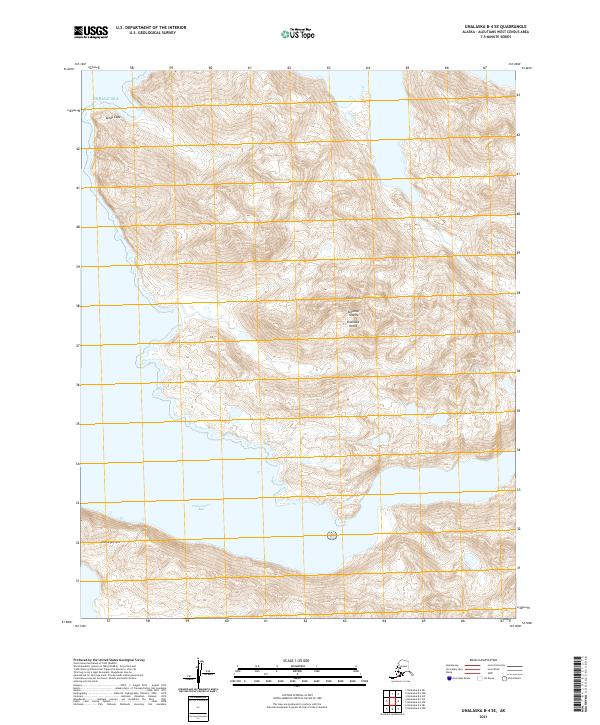
2021 · Unalaska B-4 SE
USGS Topo · 1:25,000
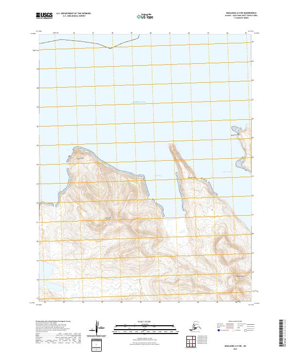
2021 · Unalaska A-5 NE
USGS Topo · 1:25,000
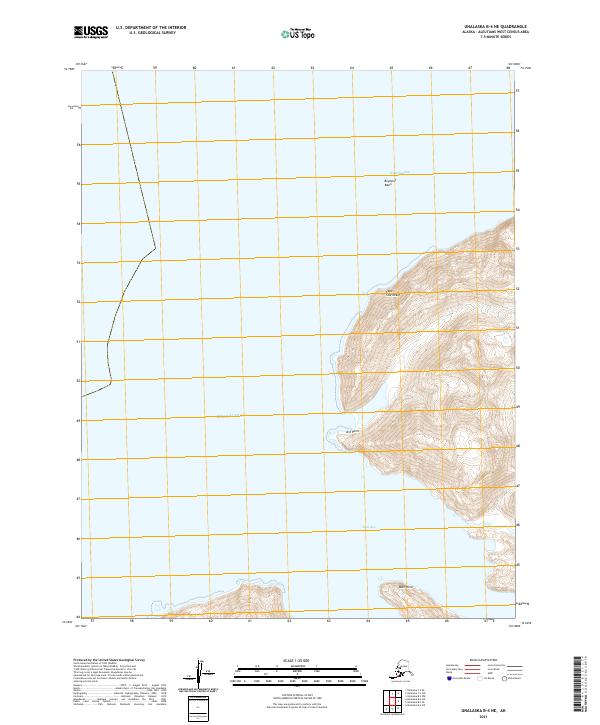
2021 · Unalaska B-4 NE
USGS Topo · 1:25,000
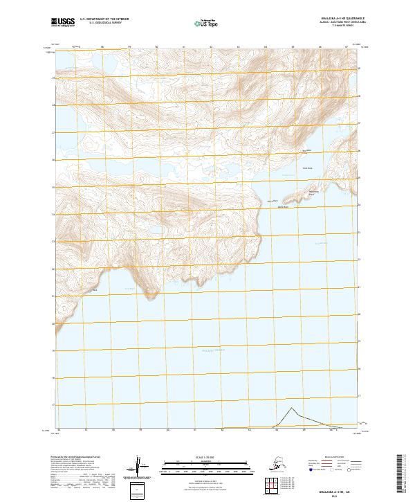
2021 · Unalaska A-4 NE
USGS Topo · 1:25,000