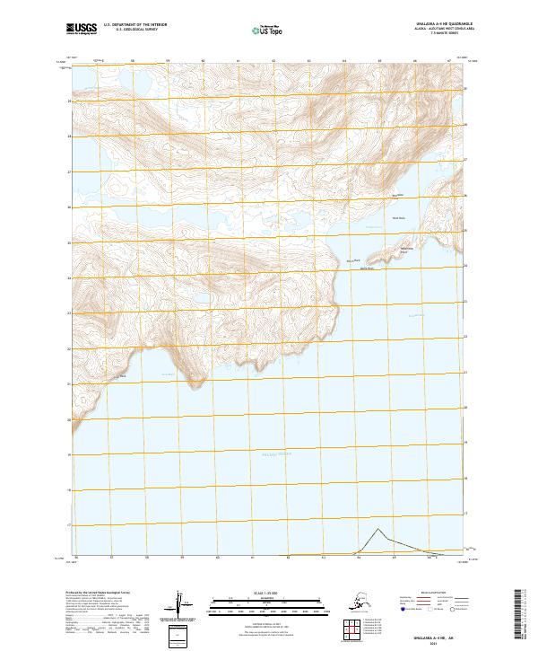
2021 Map of Unalaska A-4 NE
USGS Topo · Published 2021About this map
Kuliliak Bay and Lion Bight dominate this coastal section of Unalaska Island, where the Pacific Ocean meets a complex shoreline of steep inlets and rocky headlands. The terrain is defined by dramatic coastal features, including the prominent Lion Rock and the high elevations of Dome Rock. Small, sheltered waters such as Canyon Cove and McIver Bight are carved into the land, separated by narrow landforms like Williwaw Point and Repetition Point. This survey captures a wild landscape devoid of modern infrastructure, where the geography is named for its distinctive natural shapes, from the precarious Nest Rock to the lookout of Perch Rock.
Find a feature on this map
15 named features on this map. Tap any name to fly to it.
Don’t see what you’re looking for? This feature index may not catch every label — zoom into the map to look around manually.
Map Details
Editions of this 2021 Unalaska A-4 NE Map
This is the sole edition of this map. No revisions or reprints were ever made.
Other maps of this area

1951 · Unalaska
USGS Topo · 1:250,000
1989 · Unalaska A-4
USGS Topo · 1:63,360
1989 · Unalaska A-3
USGS Topo · 1:63,360
1989 · Unalaska B-4
USGS Topo · 1:63,360

1989 · Unalaska B-3
USGS Topo · 1:63,360
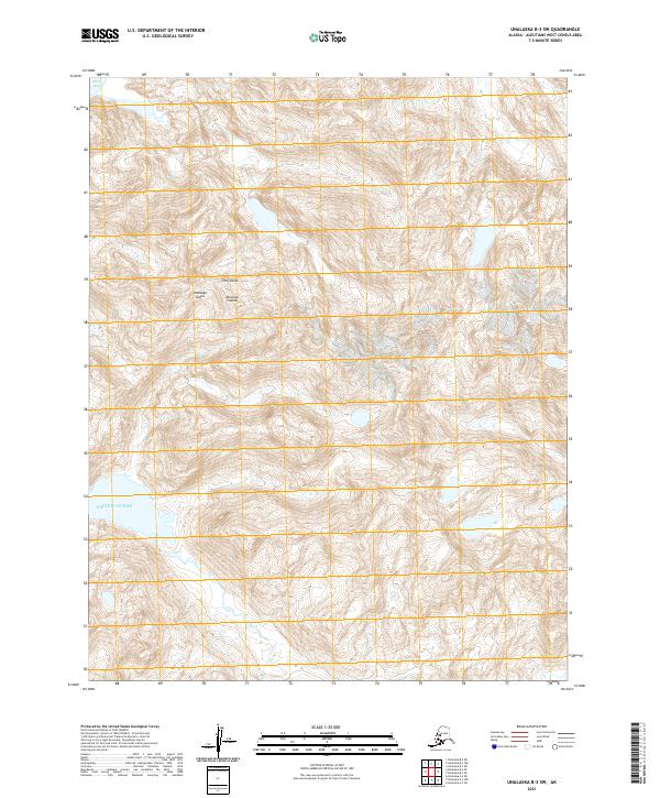
2021 · Unalaska B-3 SW
USGS Topo · 1:25,000
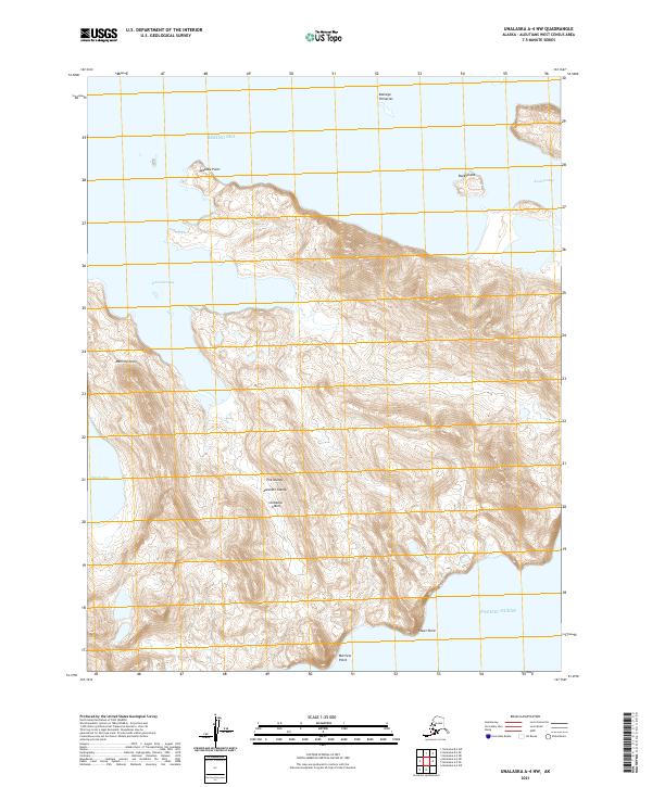
2021 · Unalaska A-4 NW
USGS Topo · 1:25,000
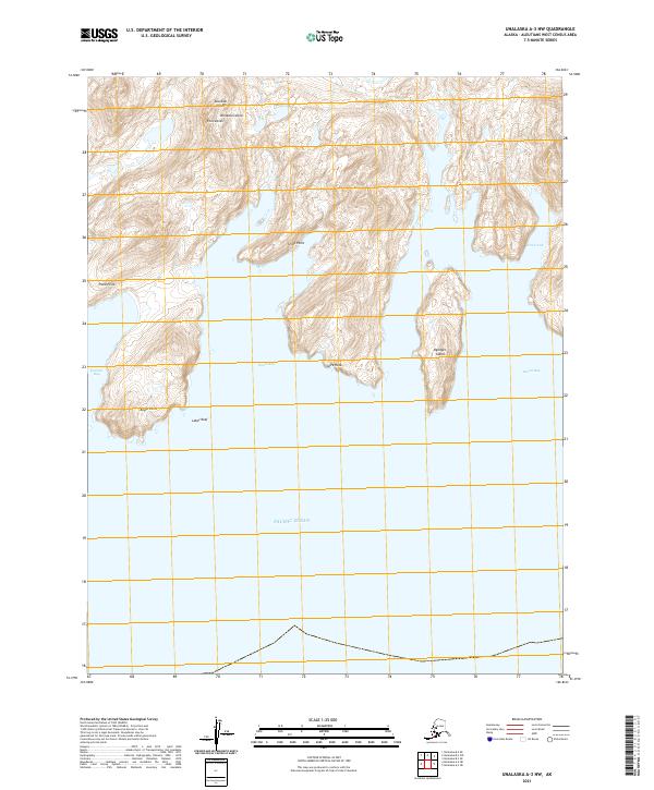
2021 · Unalaska A-3 NW
USGS Topo · 1:25,000
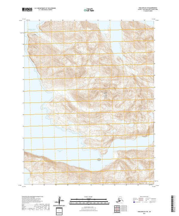
2021 · Unalaska B-4 SE
USGS Topo · 1:25,000
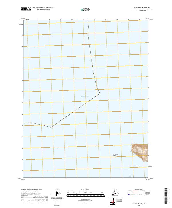
2021 · Unalaska B-4 SW
USGS Topo · 1:25,000