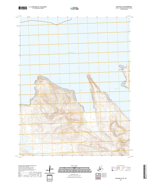
2021 Map of Unalaska A-5 NE
USGS Topo · Published 2021About this map
Mt Aspid rises prominently above the shoreline of the Bering Sea in this topographic study of the Unalaska Island coast. The landscape is defined by its dramatic maritime interfaces, where the high elevations of Mt Kimble and its surrounding ridges descend sharply toward the water. Several coastal features mark the jagged northern edge of the island, including the prominent projection of Aspid Cape and the sheltered waters of Aspid Bay. Further east, the coastline continues its irregular path past Wedge Point into Alimuda Bay, under the watch of Manning Point. This modern survey by the U.S. Geological Survey captures the complex coastal topography of the Aleutians West Census Area, illustrating the relationship between the volcanic peaks and the surrounding sea at a scale of 1:25,000.
Find a feature on this map
11 named features on this map. Tap any name to fly to it.
Don’t see what you’re looking for? This feature index may not catch every label — zoom into the map to look around manually.
Map Details
Editions of this 2021 Unalaska A-5 NE Map
This is the sole edition of this map. No revisions or reprints were ever made.
Other maps of this area

1951 · Unalaska
USGS Topo · 1:250,000

1989 · Unalaska A-5
USGS Topo · 1:63,360
1989 · Unalaska A-4
USGS Topo · 1:63,360
1989 · Unalaska B-4
USGS Topo · 1:63,360
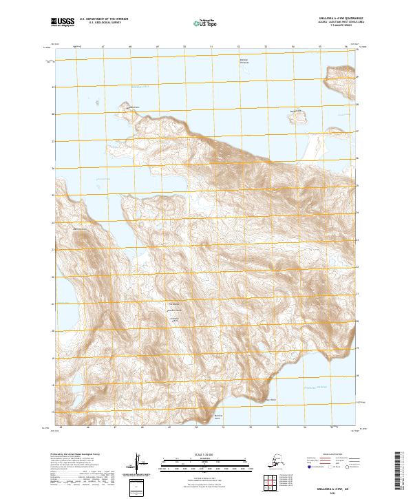
2021 · Unalaska A-4 NW
USGS Topo · 1:25,000
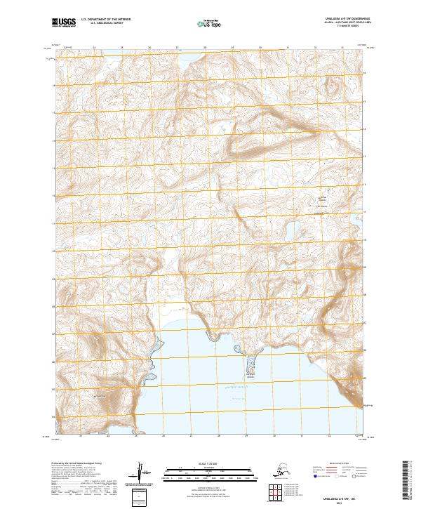
2021 · Unalaska A-5 SW
USGS Topo · 1:25,000
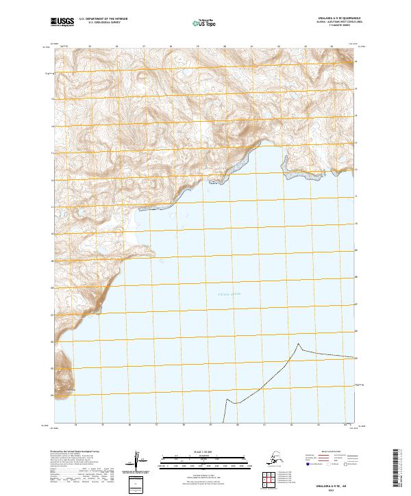
2021 · Unalaska A-5 SE
USGS Topo · 1:25,000
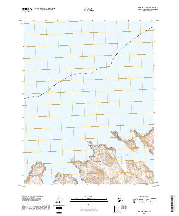
2021 · Unalaska A-5 NW
USGS Topo · 1:25,000
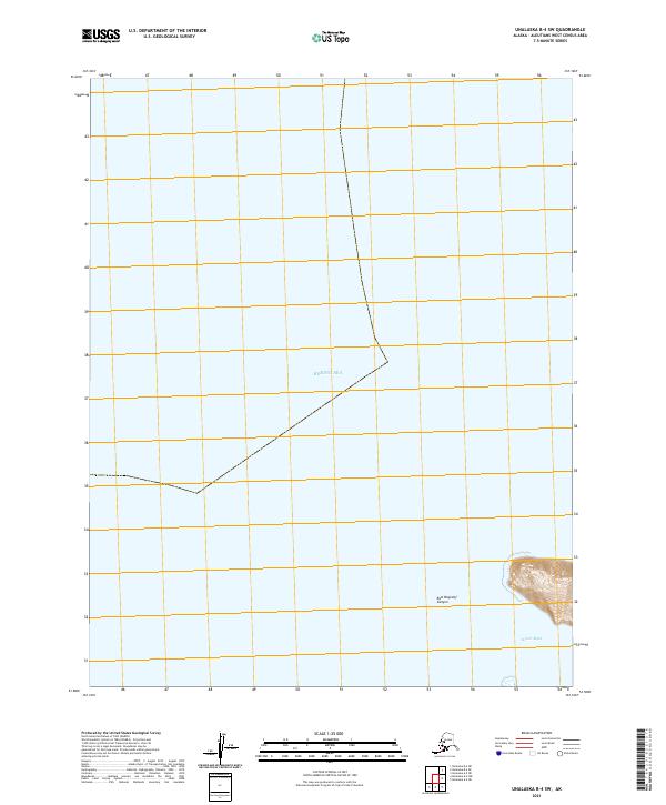
2021 · Unalaska B-4 SW
USGS Topo · 1:25,000
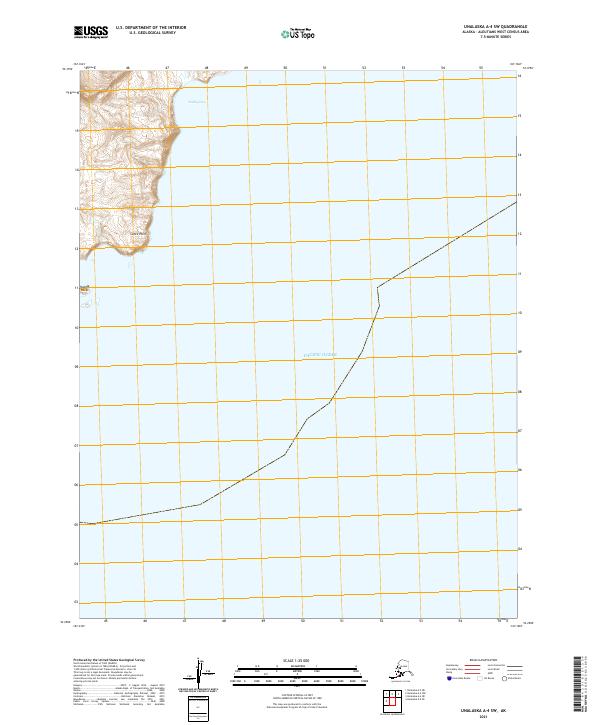
2021 · Unalaska A-4 SW
USGS Topo · 1:25,000