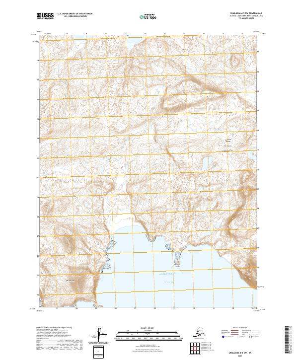
2021 Map of Unalaska A-5 SW
USGS Topo · Published 2021About this map
Unalaska Island is defined by its dramatic coastal topography along the Pacific Ocean, where the land drops sharply into the water. This portion of the Fox Islands archipelago features prominent landmarks such as Mt Tum Tum, a notable high point rising above the southwestern coastline. The coastal interface is particularly complex near Surveyor Bay, where the small, scattered Gargoyle Islands sit just offshore. This map documents the wild, unpopulated reaches of the Aleutian Islands, showing a landscape dominated by steep elevation contours and tidal inlets without the presence of roads or human settlements.
Find a feature on this map
15 named features on this map. Tap any name to fly to it.
Don’t see what you’re looking for? This feature index may not catch every label — zoom into the map to look around manually.
Map Details
Editions of this 2021 Unalaska A-5 SW Map
This is the sole edition of this map. No revisions or reprints were ever made.
Other maps of this area

1951 · Unalaska
USGS Topo · 1:250,000

1989 · Unalaska A-5
USGS Topo · 1:63,360
2021 · Unalaska A-5 OE S NW
USGS Topo · 1:25,000
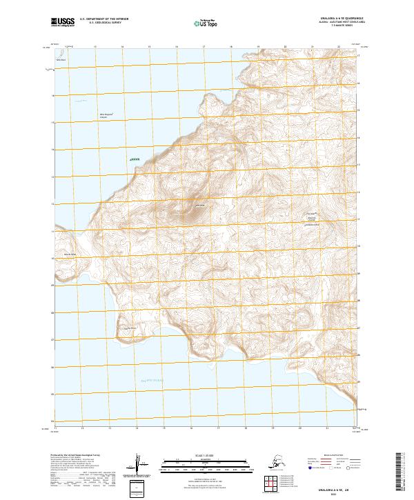
2021 · Unalaska A-6 SE
USGS Topo · 1:25,000
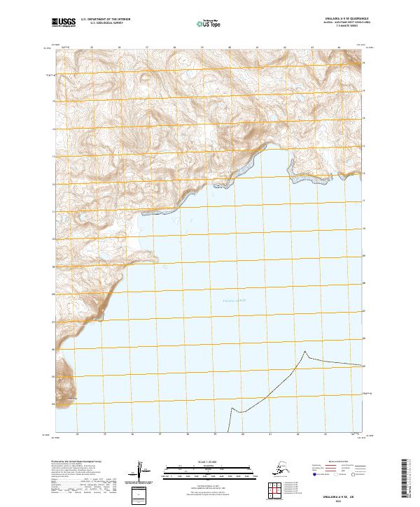
2021 · Unalaska A-5 SE
USGS Topo · 1:25,000
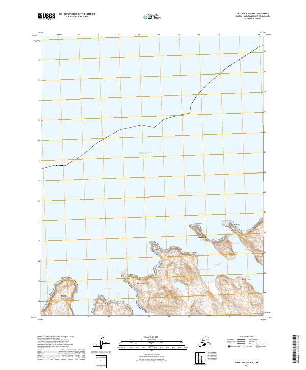
2021 · Unalaska A-5 NW
USGS Topo · 1:25,000
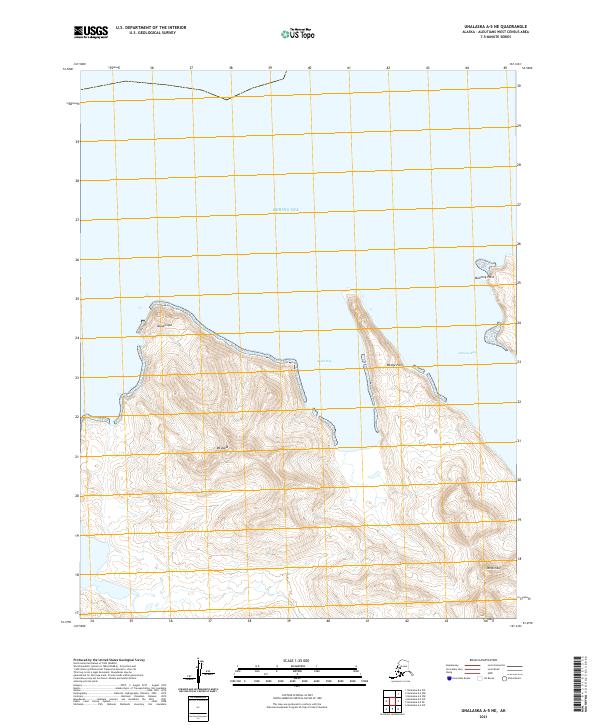
2021 · Unalaska A-5 NE
USGS Topo · 1:25,000
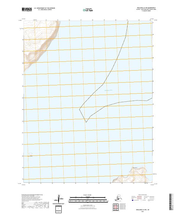
2021 · Unalaska A-6 NE
USGS Topo · 1:25,000