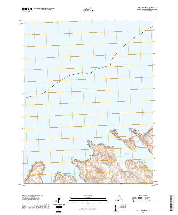
2021 Map of Unalaska A-5 NW
USGS Topo · Published 2021About this map
Chernofski sits as a primary point of human settlement on this remote Aleutian landscape, characterized by a series of deeply inset coastal features along the Bering Sea. The maritime character of the area is defined by the sheltered waters of Chernofski Harbor and the smaller Mailboat Cove, suggesting a reliance on seasonal or periodic vessel access. The topography is marked by distinctive coastal landmarks such as Asses Head and Ranchers Point, which overlook the expansive Station Bay. These named points and coves, including Mutton Cove and Observatory Point, indicate a history of coastal navigation and localized land use in this specific corner of the Unalaska region. The map provides a detailed view of the shoreline and the land-water interface at a time when these isolated harbors remained critical nodes in the Aleutian chain.
Find a feature on this map
17 named features on this map. Tap any name to fly to it.
Don’t see what you’re looking for? This feature index may not catch every label — zoom into the map to look around manually.
Map Details
Editions of this 2021 Unalaska A-5 NW Map
This is the sole edition of this map. No revisions or reprints were ever made.
Other maps of this area

1951 · Unalaska
USGS Topo · 1:250,000

1989 · Unalaska A-5
USGS Topo · 1:63,360
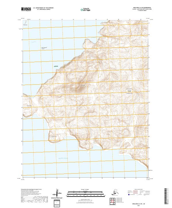
2021 · Unalaska A-6 SE
USGS Topo · 1:25,000
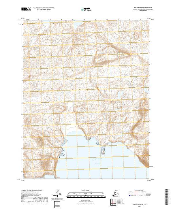
2021 · Unalaska A-5 SW
USGS Topo · 1:25,000
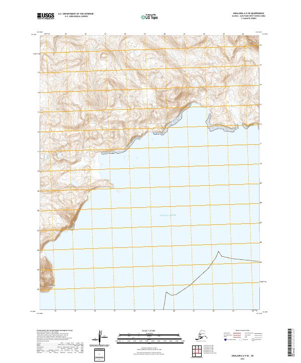
2021 · Unalaska A-5 SE
USGS Topo · 1:25,000
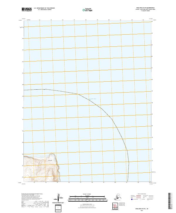
2021 · Unalaska B-6 SE
USGS Topo · 1:25,000
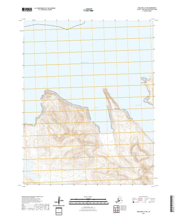
2021 · Unalaska A-5 NE
USGS Topo · 1:25,000
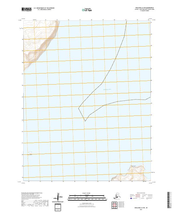
2021 · Unalaska A-6 NE
USGS Topo · 1:25,000