2021 Map of Unalaska A-5 OE S NW
USGS Topo · Published 2021About this map
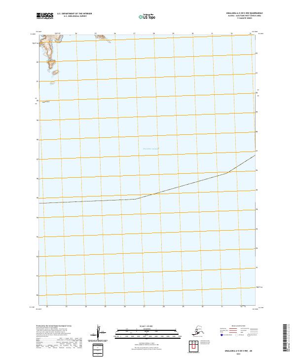
Cape Izigan and South Rock mark the western edge of this coastal survey in the Pacific Ocean, where the Aleutian landscape meets the sea. This specific section of the Unalaska region is defined primarily by its maritime expanse, showing the precarious relationship between land and water at the edge of the continental shelf. The map traces the rugged coastline of the islands, with significant bathymetric and topographic data indicating the steep underwater drop-offs and the isolated nature of the terrestrial points. While the interior remains largely inaccessible, the presence of these named coastal landmarks serves as essential navigational reference points for this part of the Aleutians West Census Area.
Find a feature on this map
6 named features on this map. Tap any name to fly to it.
Don’t see what you’re looking for? This feature index may not catch every label — zoom into the map to look around manually.
Map Details
Editions of this 2021 Unalaska A-5 OE S NW Map
This is the sole edition of this map. No revisions or reprints were ever made.