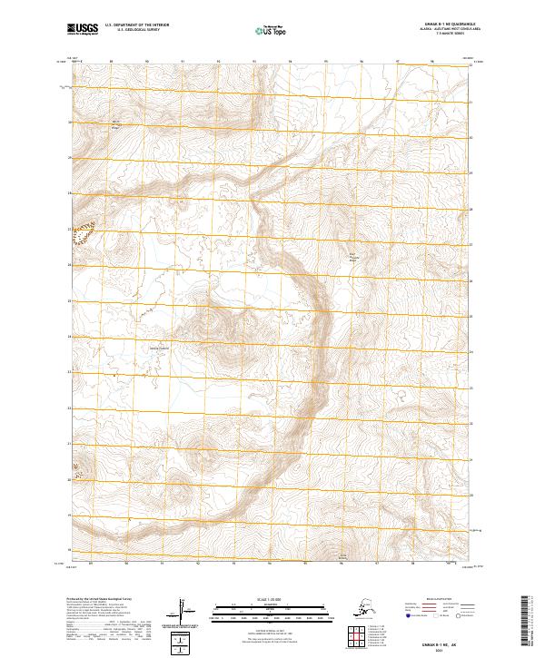
2021 Map of Umnak B-1 NE
USGS Topo · Published 2021About this map
Okmok Caldera dominates the center of this 2021 topographical study, revealing the stark volcanic architecture of Umnak Island. This segment of the Aleutians West Census Area highlights the massive circular depression of the caldera, a feature formed by the collapse of a volcano. The surrounding landscape is defined by its dramatic elevation changes, notably along the North Arcuate Ridge and East Arcuate Ridge, which form partial rims around the central basin. To the south, the terrain rises toward the peak of Tulik Volcano, one of the prominent vents associated with the Okmok complex. The map provides a high-resolution look at the drainage patterns and tephra-strewn slopes of this active geothermal area, documenting the raw geological forces that continue to shape the Aleutian arc.
Find a feature on this map
8 named features on this map. Tap any name to fly to it.
Don’t see what you’re looking for? This feature index may not catch every label — zoom into the map to look around manually.
Map Details
Editions of this 2021 Umnak B-1 NE Map
This is the sole edition of this map. No revisions or reprints were ever made.
Other maps of this area

1951 · Unalaska
USGS Topo · 1:250,000

1951 · Umnak
USGS Topo · 1:250,000

1958 · Umnak
USGS Topo · 1:250,000
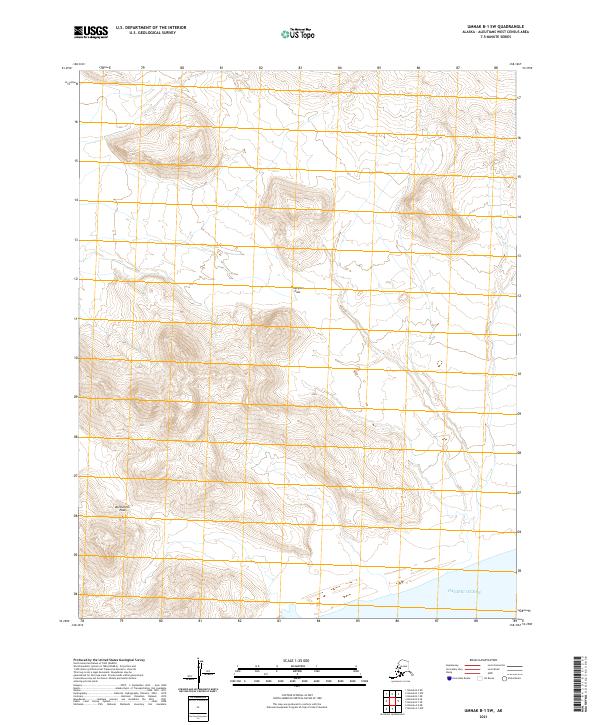
2021 · Umnak B-1 SW
USGS Topo · 1:25,000
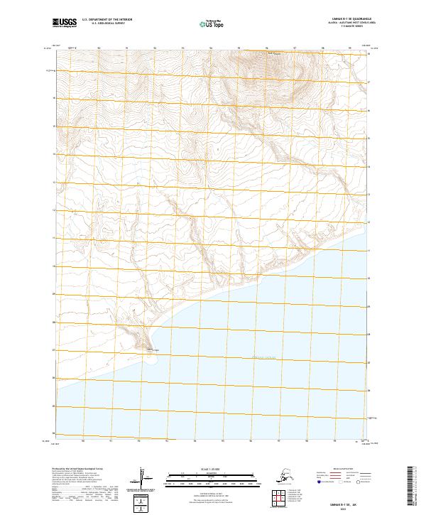
2021 · Umnak B-1 SE
USGS Topo · 1:25,000
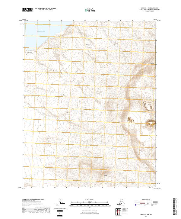
2021 · Umnak B-1 NW
USGS Topo · 1:25,000
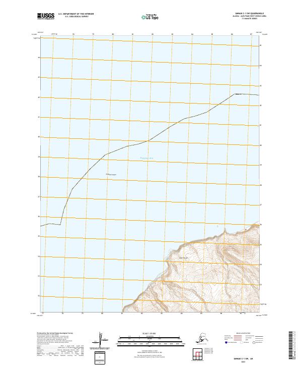
2021 · Umnak C-1 SW
USGS Topo · 1:25,000
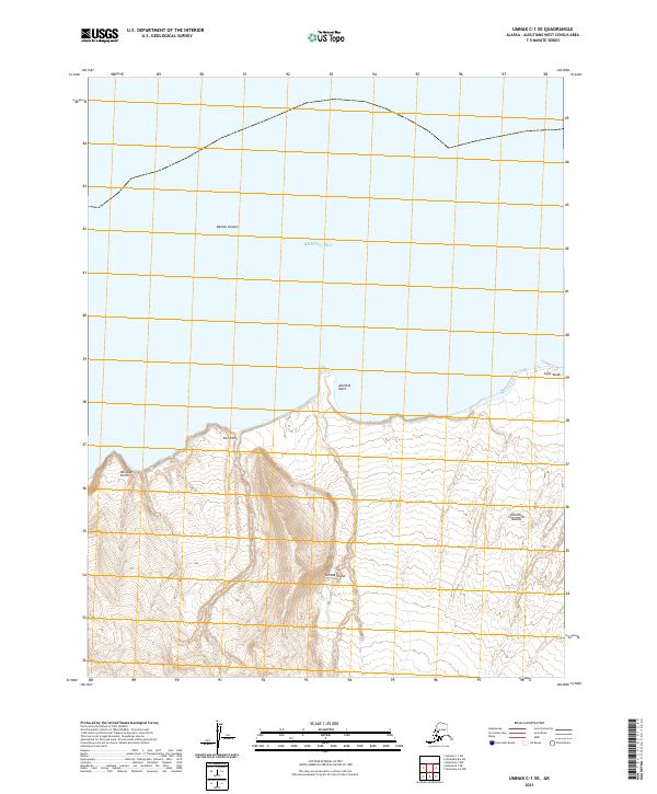
2021 · Umnak C-1 SE
USGS Topo · 1:25,000
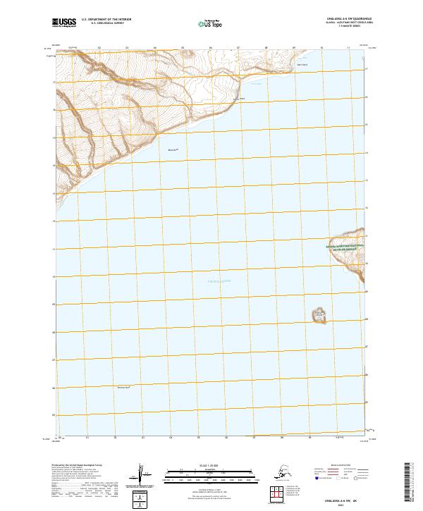
2021 · Unalaska A-6 SW
USGS Topo · 1:25,000
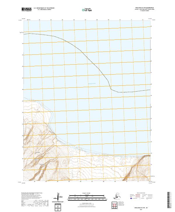
2021 · Unalaska B-6 SW
USGS Topo · 1:25,000