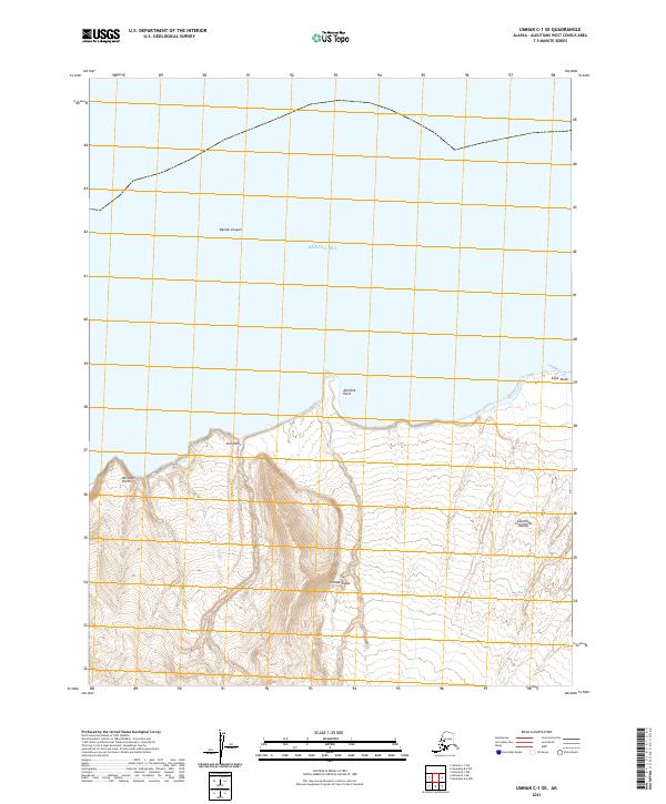
2021 Map of Umnak C-1 SE
USGS Topo · Published 2021About this map
Umnak Island dominates this northern section of the Aleutian Islands, where the volcanic landscape meets the Bering Sea. The topographic data reveals the dramatic relief of the north-central coast, characterized by deep incisions like Okmok Canyon and several prominent coastal landmarks. This area is defined by its maritime geography, with maritime navigation points such as Ashishik Point and Cape Tanak marking the shoreline. To the west, the land rises sharply from Fox Point and Reindeer Point, illustrating the high-latitude terrain of the Alaska maritime region. The absence of roads or settlements emphasizes the wilderness character of this remote island environment in the early twenty-first century.
Find a feature on this map
12 named features on this map. Tap any name to fly to it.
Don’t see what you’re looking for? This feature index may not catch every label — zoom into the map to look around manually.
Map Details
Editions of this 2021 Umnak C-1 SE Map
This is the sole edition of this map. No revisions or reprints were ever made.
Other maps of this area

1951 · Unalaska
USGS Topo · 1:250,000

1951 · Umnak
USGS Topo · 1:250,000

1958 · Umnak
USGS Topo · 1:250,000
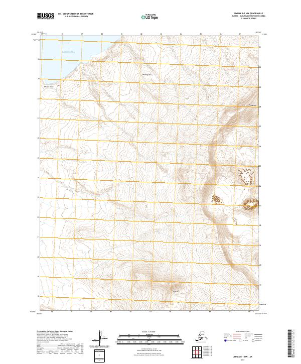
2021 · Umnak B-1 NW
USGS Topo · 1:25,000
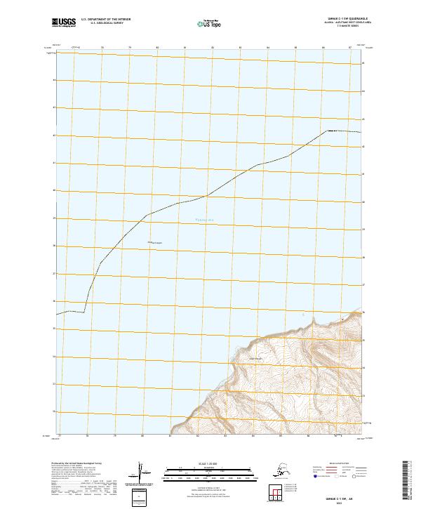
2021 · Umnak C-1 SW
USGS Topo · 1:25,000
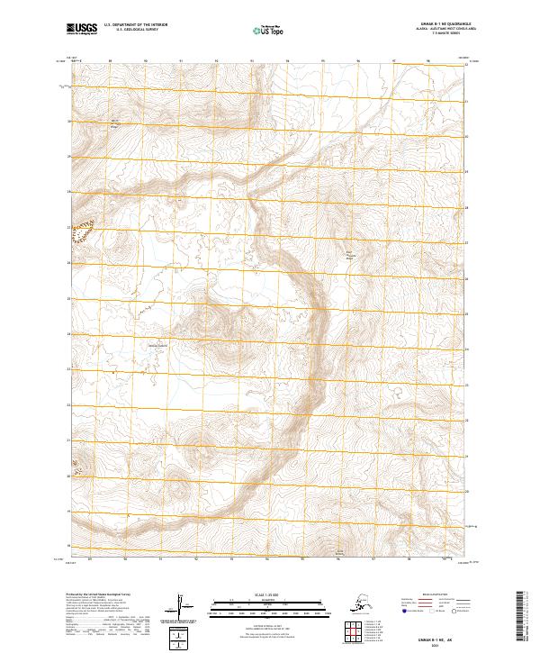
2021 · Umnak B-1 NE
USGS Topo · 1:25,000
2021 · Unalaska B-6 SW
USGS Topo · 1:25,000
2021 · Unalaska A-6 NW
USGS Topo · 1:25,000