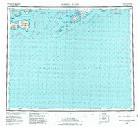
1951 Map of Samalga Island
USGS Topo · Published 1984About this map
Nikolski stands as the primary human settlement in this remote reach of the Aleutian Islands, situated on the shores of Nikolski Bay. The landscape is dominated by the volcanic peaks of the Islands of Four Mountains, including the prominent Mt Cleveland and Kagamil Volcano. This 1951 compilation, revised in 1983, illustrates the critical maritime passes and landings essential for navigation between the Bering Sea and the Pacific Ocean.
Find a feature on this map
43 named features on this map. Tap any name to fly to it.
Don’t see what you’re looking for? This feature index may not catch every label — zoom into the map to look around manually.
Map Details
Editions of this 1951 Samalga Island Map
4 editions found
Other maps of this area

1951 · Amukta
USGS Topo · 1:250,000

1951 · Samalga Island
USGS Topo · 1:250,000

1951 · Umnak
USGS Topo · 1:250,000

1958 · Samalga Island
USGS Topo · 1:250,000

1958 · Umnak
USGS Topo · 1:250,000
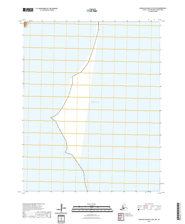
2021 · Samalga Island D-6 OE E NW
USGS Topo · 1:25,000
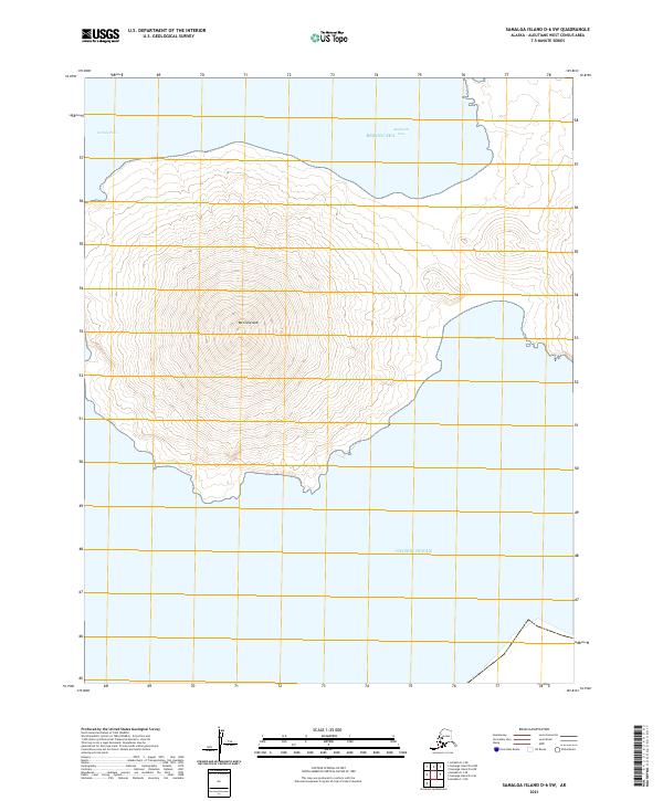
2021 · Samalga Island D-6 SW
USGS Topo · 1:25,000
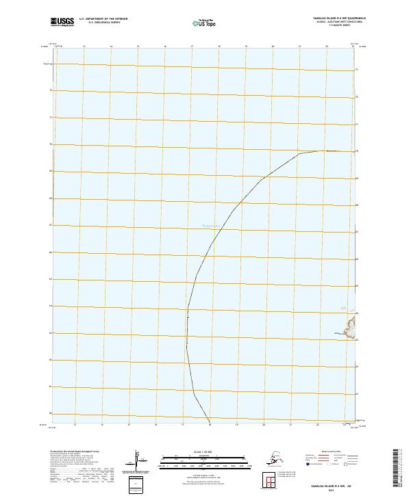
2021 · Samalga Island D-4 NW
USGS Topo · 1:25,000
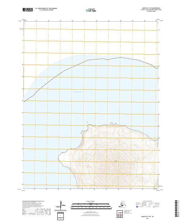
2021 · Amukta D-1 NE
USGS Topo · 1:25,000
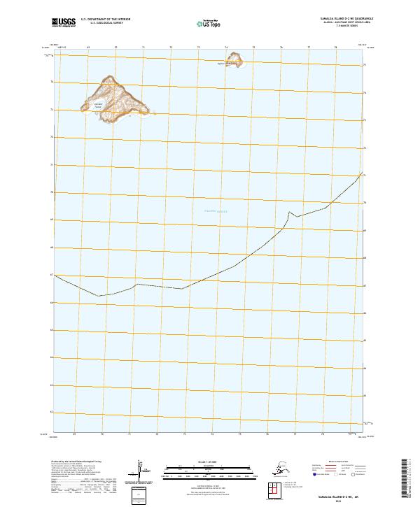
2021 · Samalga Island D-2 NE
USGS Topo · 1:25,000