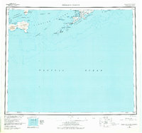
1951 Map of Samalga Island
USGS Topo · Published 1975About this map
The western reaches of Umnak Island and the neighboring Islands of Four Mountains dominate this mid-century reconnaissance of the Aleutian chain. At the southwestern tip of Umnak, the settlement of Nikolski sits along Nikolski Bay, near the mouth of Sheep Cr. The landscape is defined by extreme volcanic topography, including the massive Mt Cleveland and Lava flows on Chuginadak Island, alongside the steaming Kagamil Volcano to the north. These islands, part of the Aleutian Islands National Wildlife Refuge, are separated by treacherous waters like the Samalga Pass and Kagamil Pass. The map captures the remote isolation of these outposts, where only a few Cabins and geographical landmarks like High Hill and Umnak Lake break the coastal wilderness.
Find a feature on this map
53 named features on this map. Tap any name to fly to it.
Don’t see what you’re looking for? This feature index may not catch every label — zoom into the map to look around manually.
Map Details
Editions of this 1951 Samalga Island Map
4 editions found
Other maps of this area

1951 · Amukta
USGS Topo · 1:250,000

1951 · Samalga Island
USGS Topo · 1:250,000

1951 · Umnak
USGS Topo · 1:250,000

1958 · Samalga Island
USGS Topo · 1:250,000

1958 · Umnak
USGS Topo · 1:250,000
2021 · Samalga Island D-6 OE E NW
USGS Topo · 1:25,000
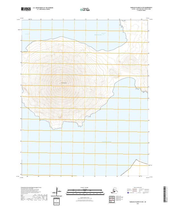
2021 · Samalga Island D-6 SW
USGS Topo · 1:25,000
2021 · Samalga Island D-4 NW
USGS Topo · 1:25,000
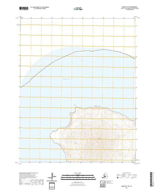
2021 · Amukta D-1 NE
USGS Topo · 1:25,000
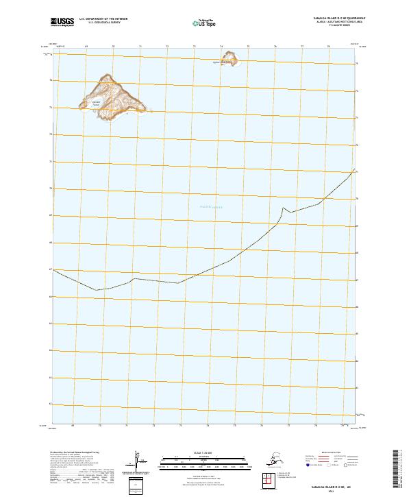
2021 · Samalga Island D-2 NE
USGS Topo · 1:25,000