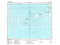
1951 Map of Amukta
USGS Topo · Published 1984About this map
Islands of the Four Mountains rise from the Pacific Ocean in this mid-century topographic study of the central Aleutian chain. The landscape is defined by its volcanic isolation, featuring the prominent landmass of Yunaska Island with its Crater Anchorage and a small collection of Cabins tucked away at Traders Cove on Amukta Island. These scattered structures represent the rare evidence of human habitation or temporary shelters in this remote maritime environment.
Find a feature on this map
23 named features on this map. Tap any name to fly to it.
Don’t see what you’re looking for? This feature index may not catch every label — zoom into the map to look around manually.
Map Details
Editions of this 1951 Amukta Map
5 editions found
Other maps of this area

1951 · Amukta
USGS Topo · 1:250,000

1951 · Seguam
USGS Topo · 1:250,000

1951 · Samalga Island
USGS Topo · 1:250,000

1951 · Umnak
USGS Topo · 1:250,000

1958 · Samalga Island
USGS Topo · 1:250,000

1958 · Umnak
USGS Topo · 1:250,000

1958 · Seguam
USGS Topo · 1:250,000
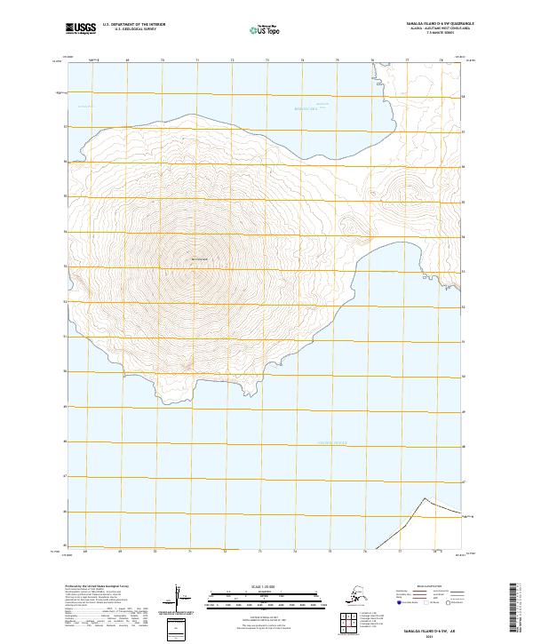
2021 · Samalga Island D-6 SW
USGS Topo · 1:25,000
2021 · Amukta D-1 SW
USGS Topo · 1:25,000
2021 · Amukta C-1 NW
USGS Topo · 1:25,000