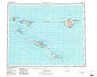
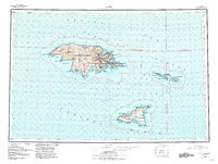
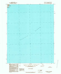
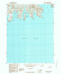
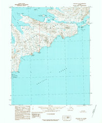
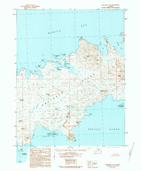
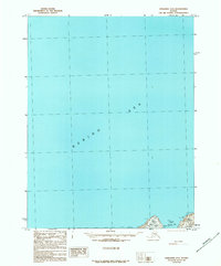
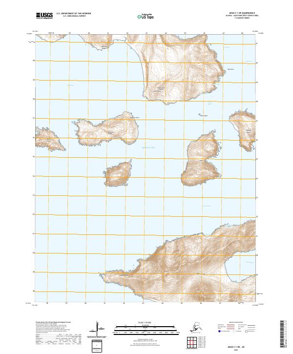
1951 Map of Seguam
USGS Topo · Published 1952About this map
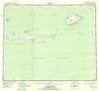
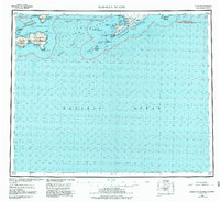
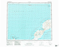
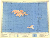
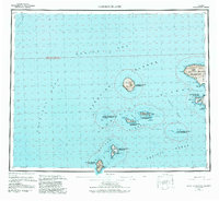
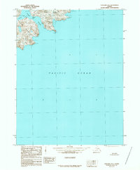
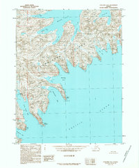
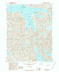
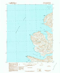
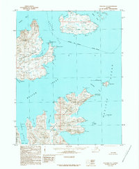
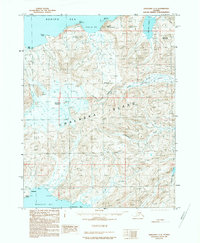
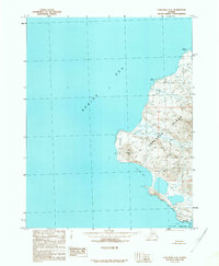
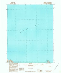
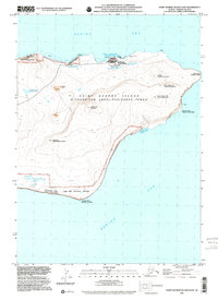
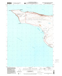
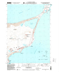
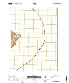
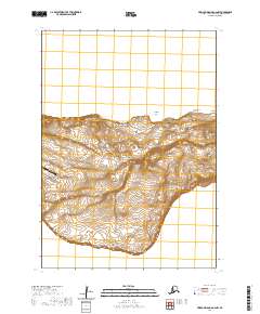
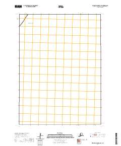
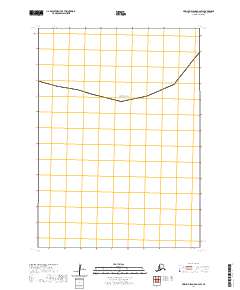
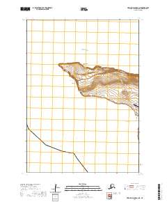
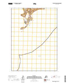
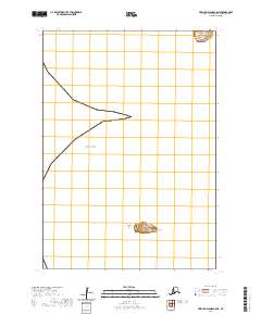
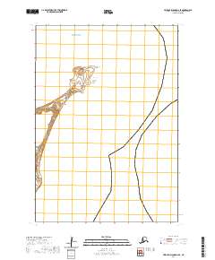
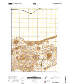
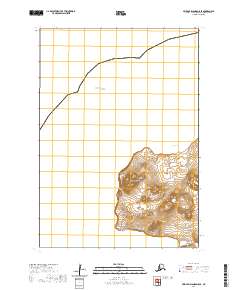
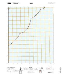
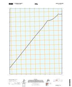
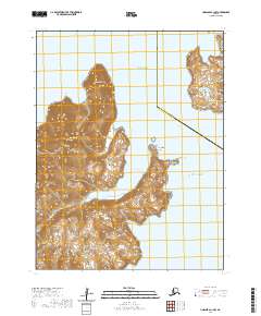
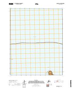
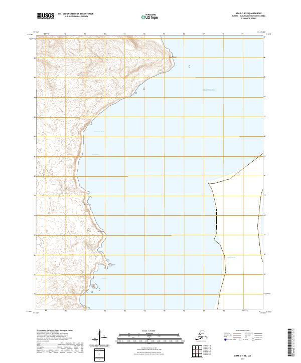
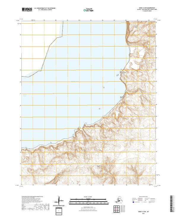
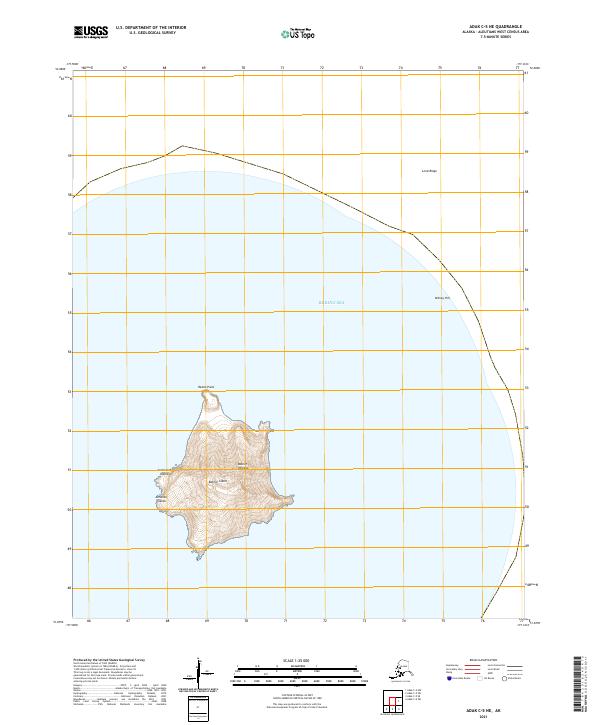
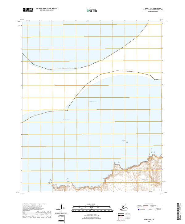
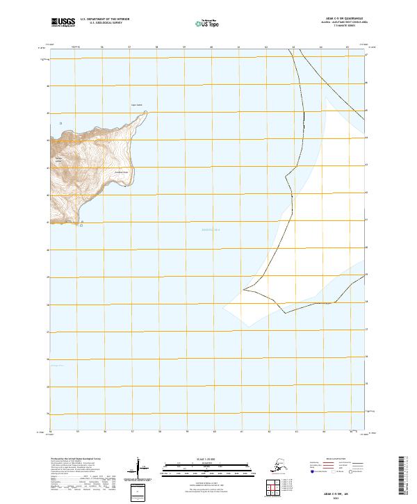
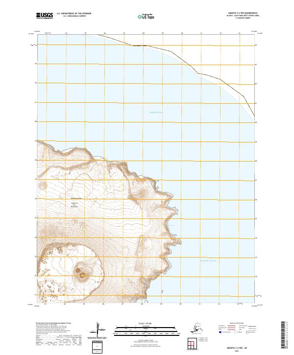
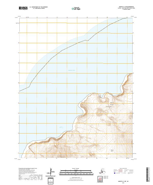
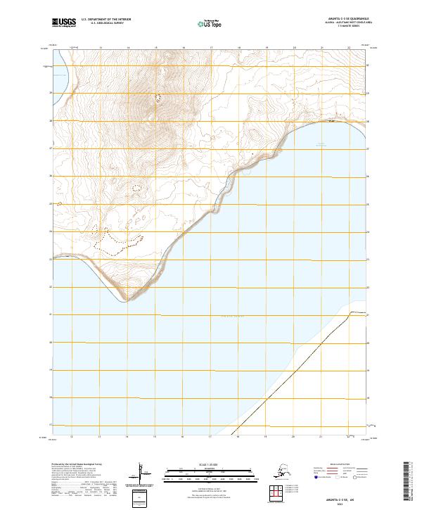
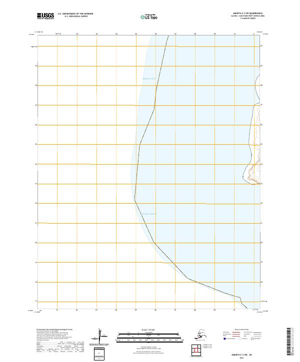
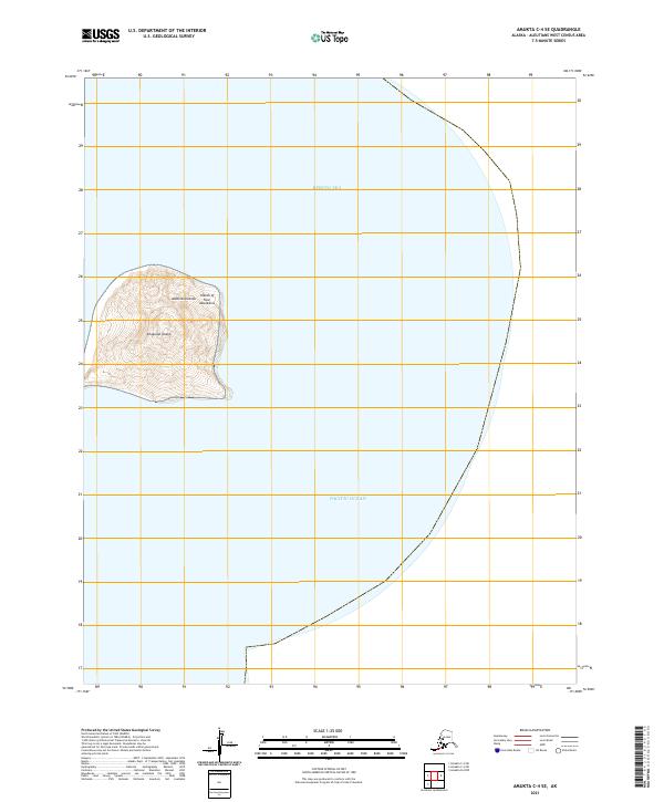
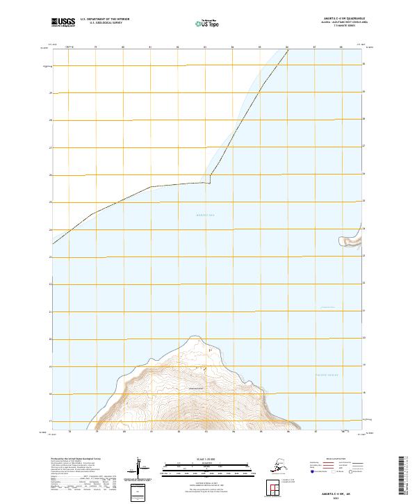
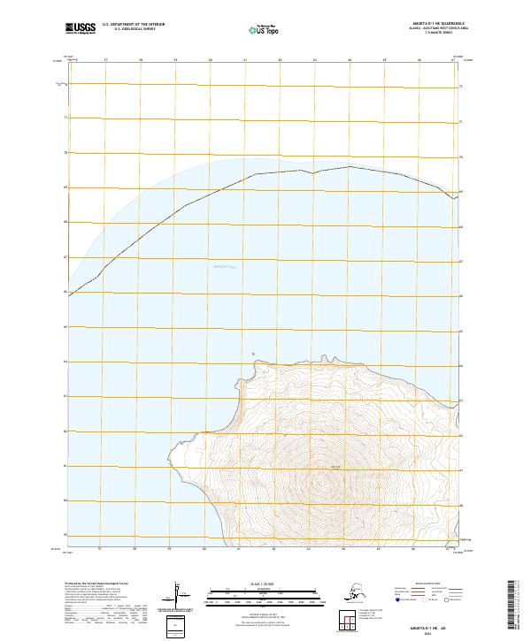
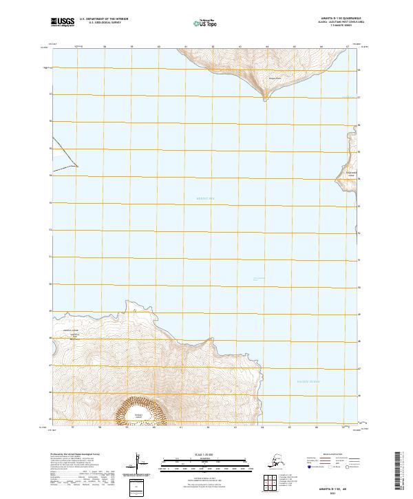
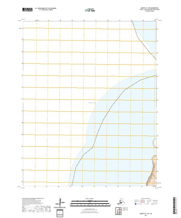
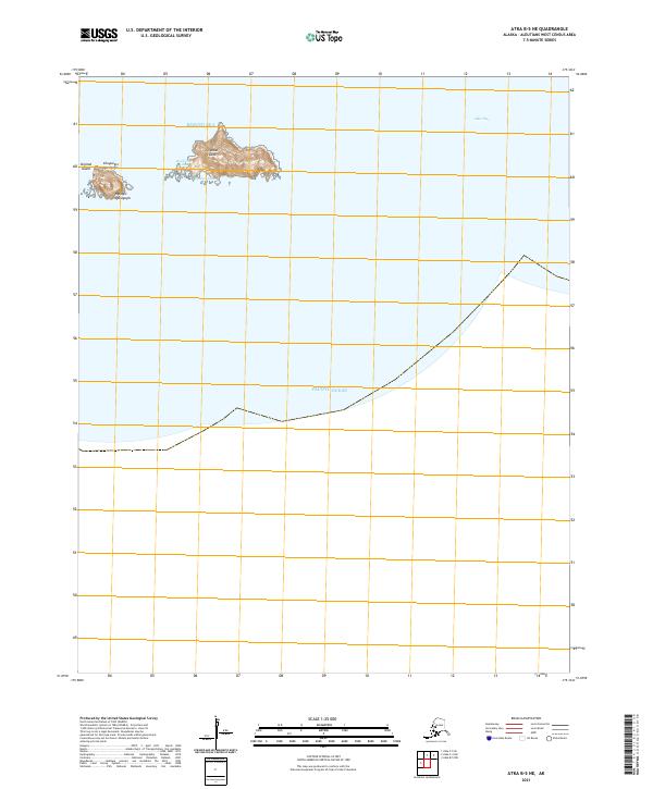
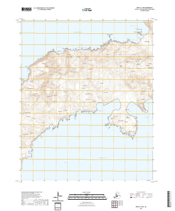
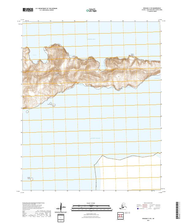
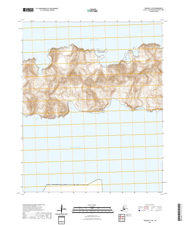
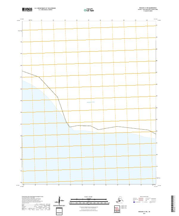
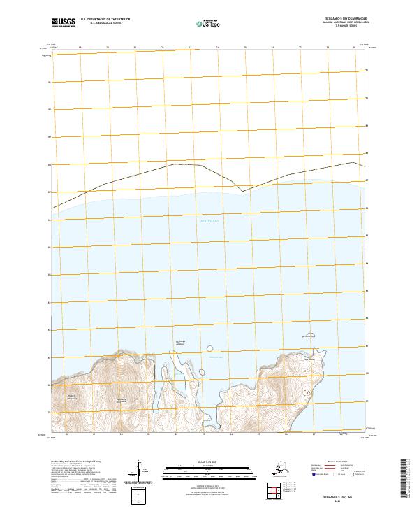
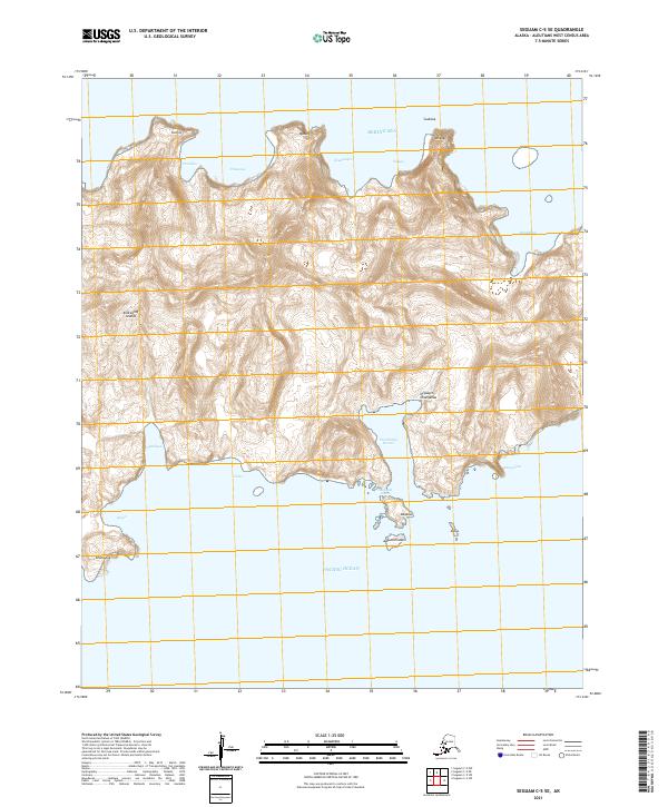
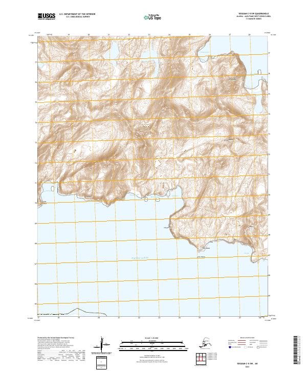
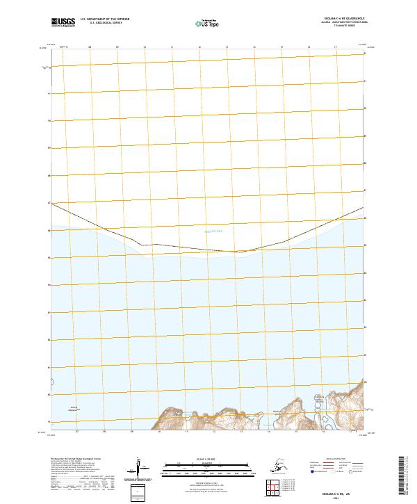
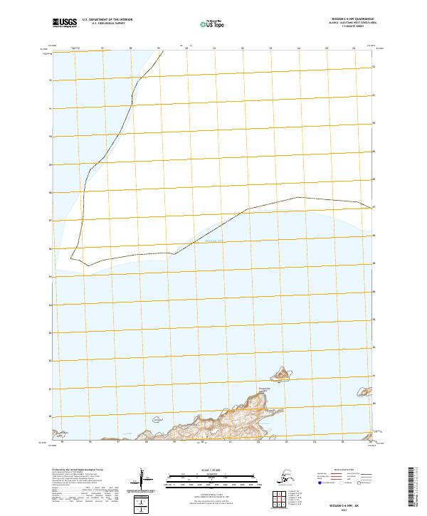
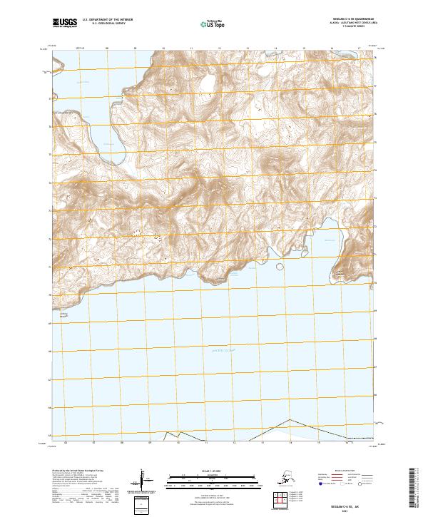
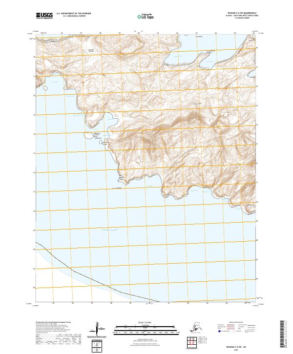
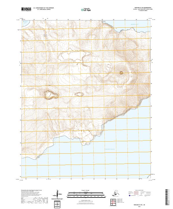
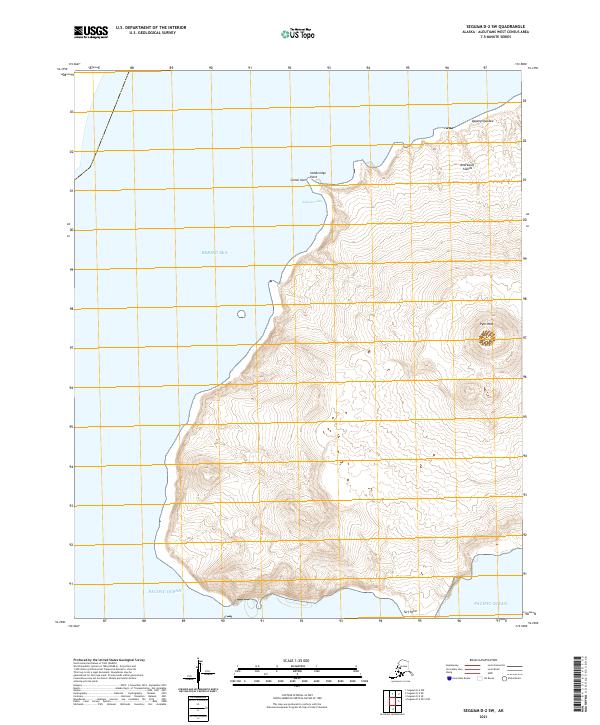
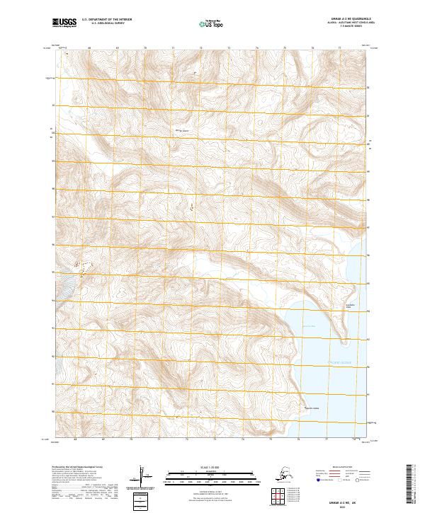
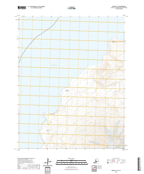
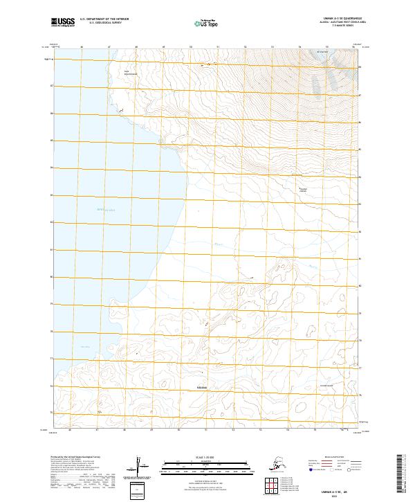
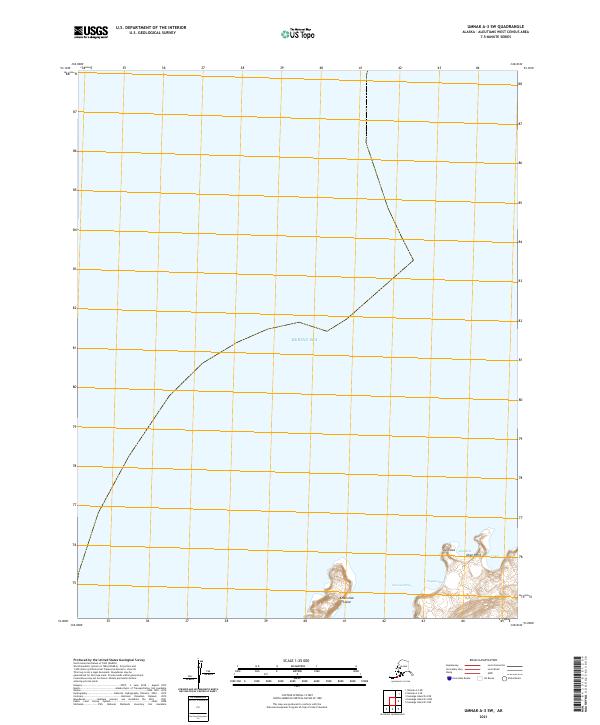
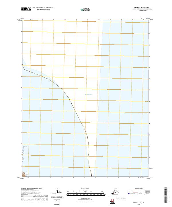
Seguam Island and the eastern extent of the Andreanof Islands dominate this 1951 reconnaissance of the Aleutians. The volcanic character of the landscape is evident through landmarks such as Pyre Peak and the naming of Lava Point and Lava Cove. The map details the remote coastal geography of Am Lia Island, tracing a rugged shoreline from Cape Misty to the narrow Agligadak Reefs at its eastern tip. Compiled from surveys dating back to 1933, the chart captures the navigational hazards of Seguam Pass and Amukta Pass, vital maritime corridors between the Bering Sea and the Pacific Ocean. This survey preserves the exact coastal nomenclature used by the U.S. Coast and Geodetic Survey before the mid-century, including isolated anchorages like Smeatonikof Harbor and distinctive landmarks like Haystack Rock.
Find a feature on this map
33 named features on this map. Tap any name to fly to it.
Don’t see what you’re looking for? This feature index may not catch every label — zoom into the map to look around manually.
Map Details
Editions of this 1951 Seguam Map
This is the sole edition of this map. No revisions or reprints were ever made.
Historical Maps of Unorganized Borough Through Time
320 maps found
1948 Pribilof Islands
Aleutians West Borough, AK

1949 Pribilof Islands
Aleutians West Borough, AK
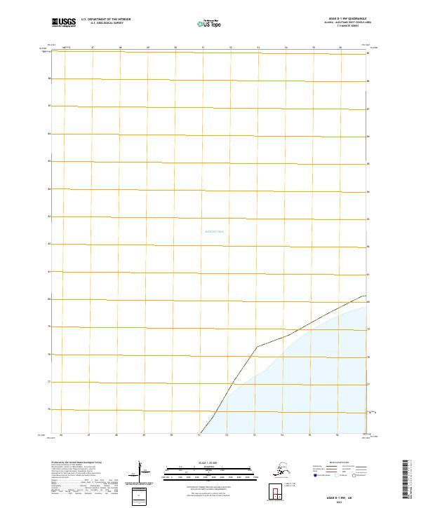
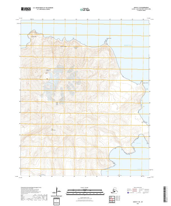
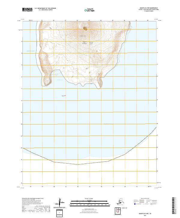
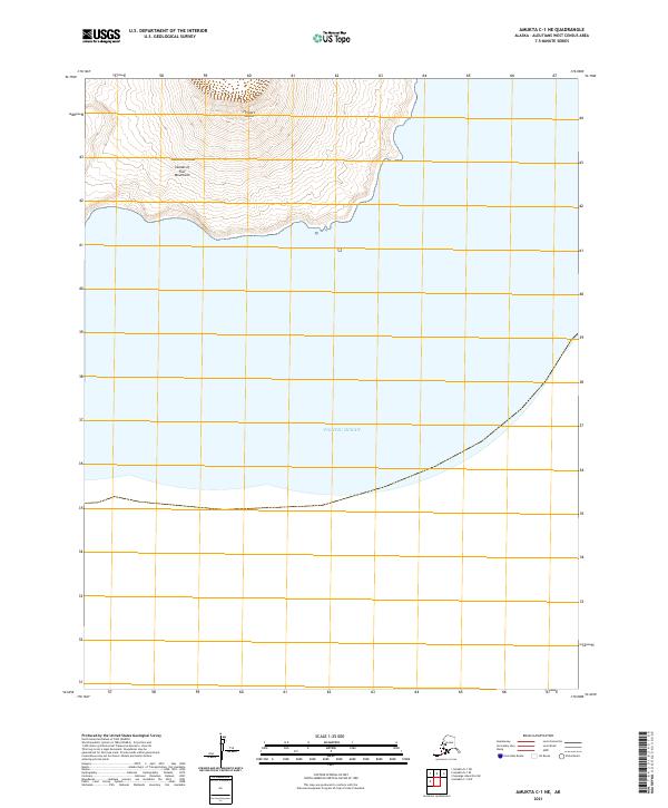
1951 Amukta
Aleutians West Borough, AK

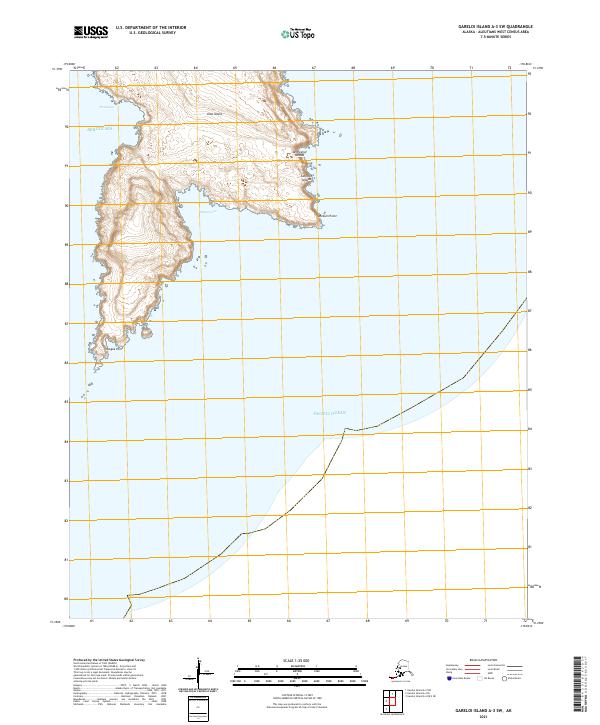
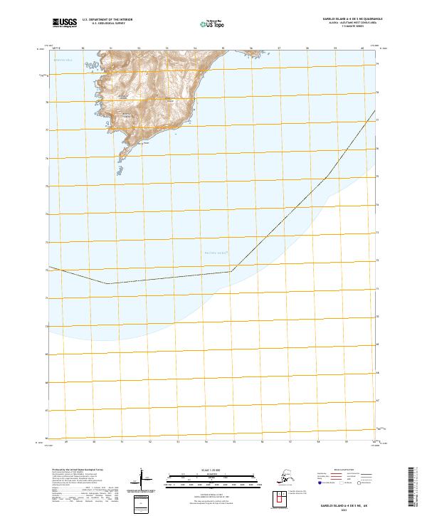
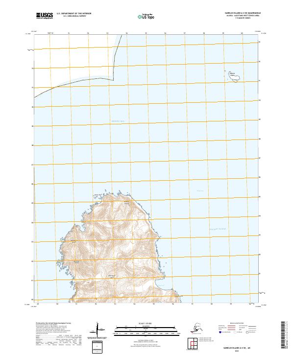
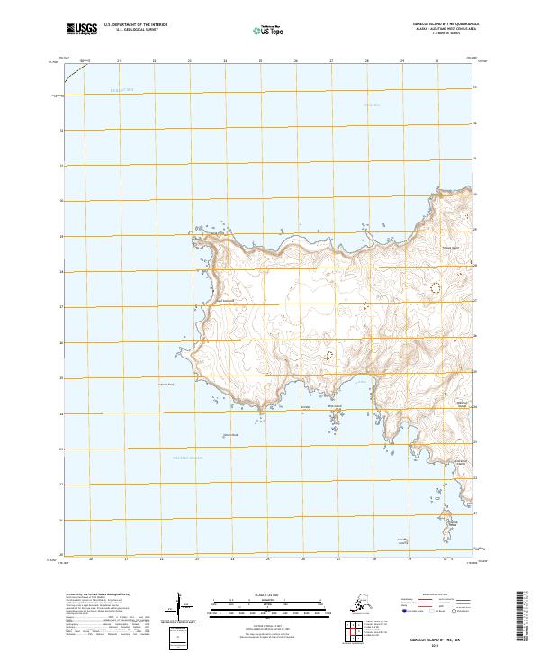
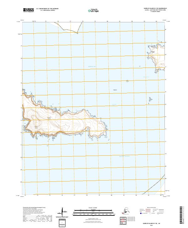
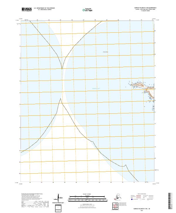
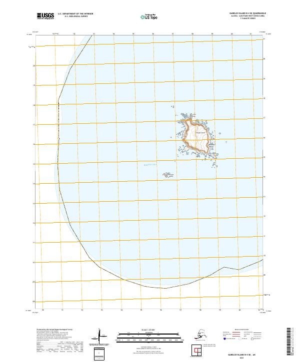
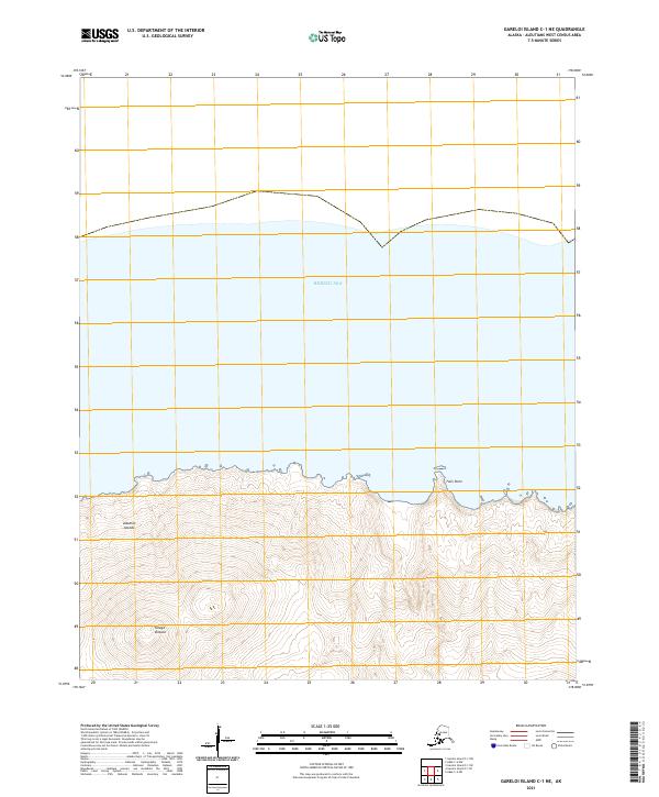
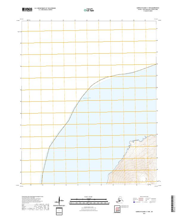
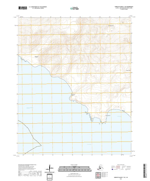
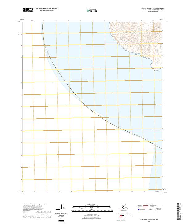
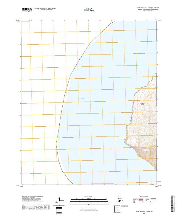
1951 Gareloi Island
Aleutians West Borough, AK
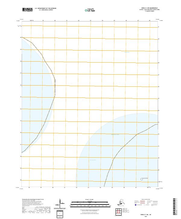
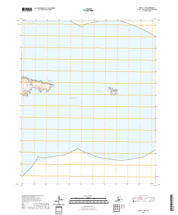
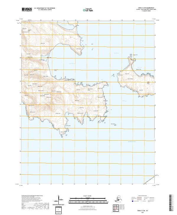
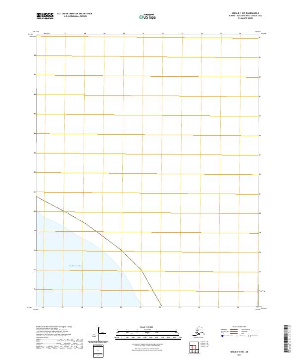
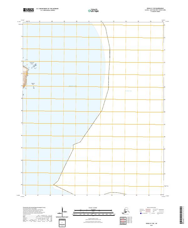
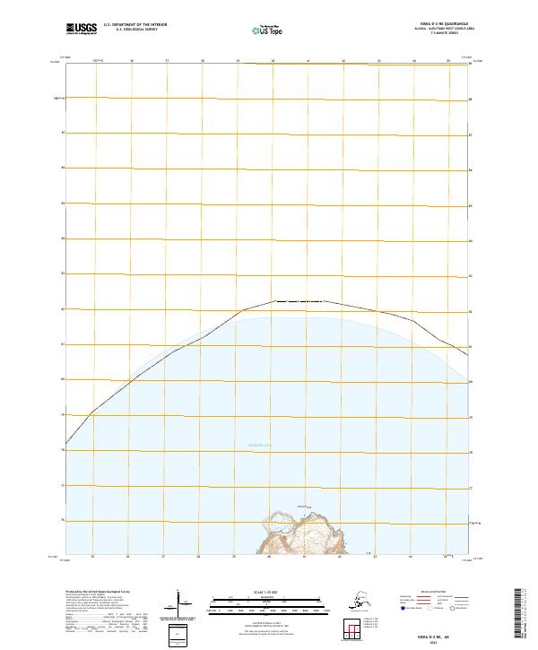
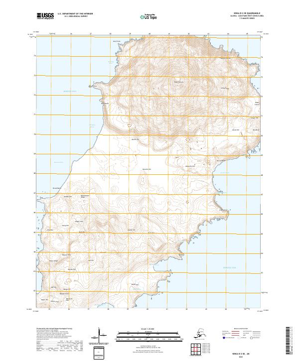
1951 Kiska
Aleutians West Borough, AK
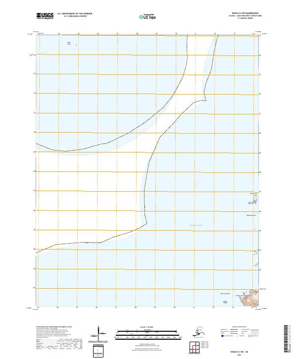
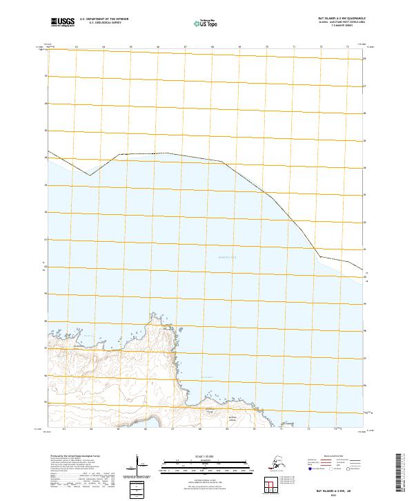
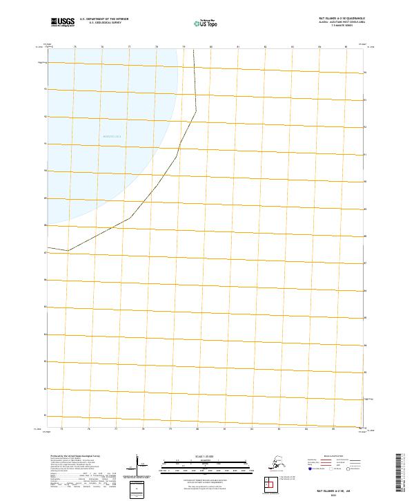
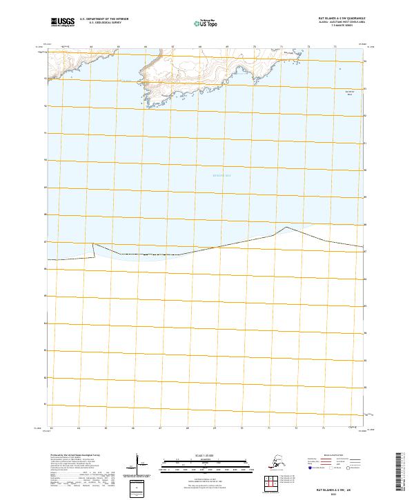
1951 Rat Islands
Aleutians West Borough, AK
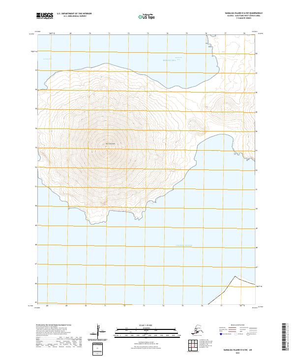
1951 Samalga Island
Aleutians West Borough, AK
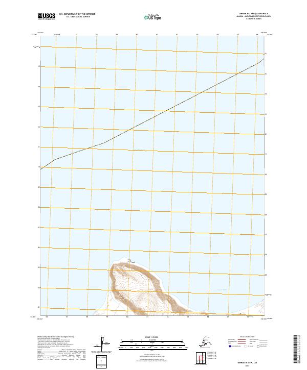
1951 Seguam
Aleutians West Borough, AK
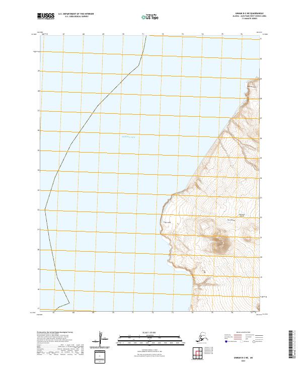
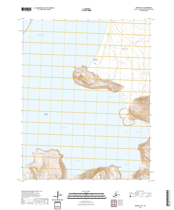
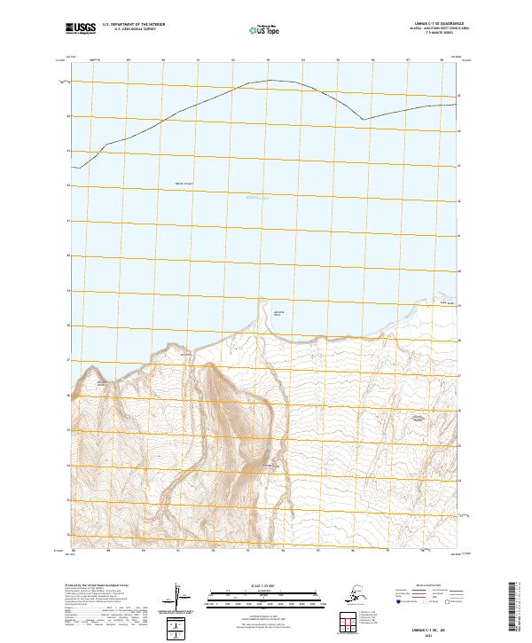
1951 Umnak
Aleutians West Borough, AK
1952 Attu
Aleutians West Borough, AK
1953 Attu
Aleutians West Borough, AK
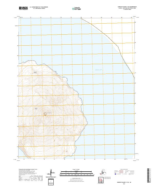
1954 Gareloi Island
Aleutians West Borough, AK
1958 Kiska
Aleutians West Borough, AK

1958 Pribilof Islands
Aleutians West Borough, AK

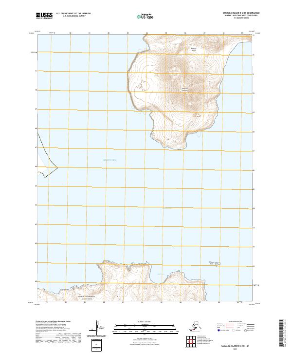
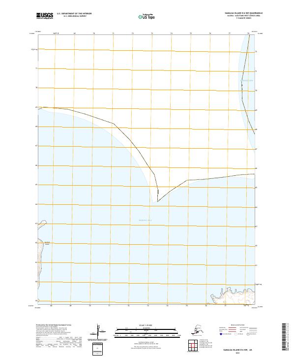
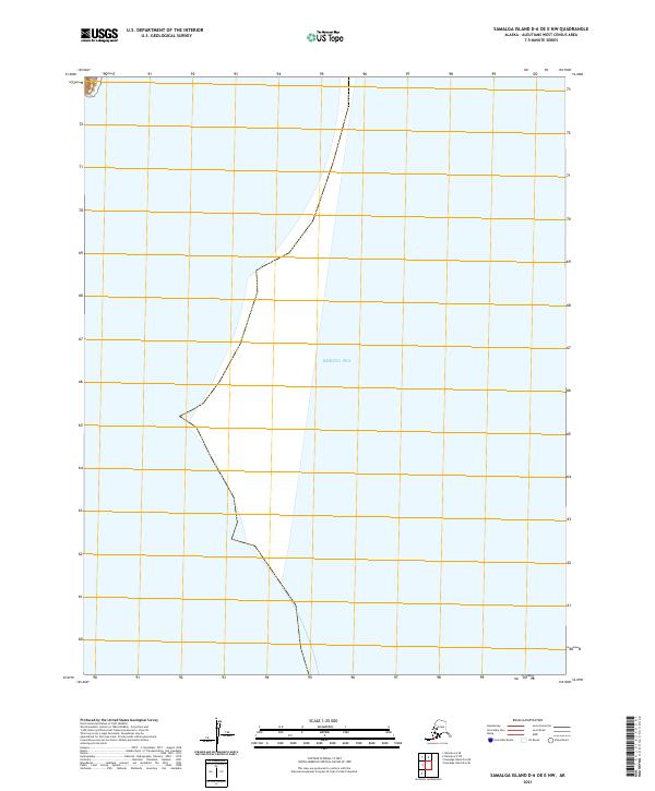
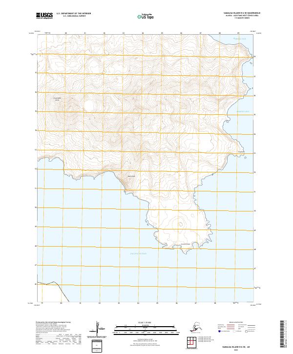
1958 Samalga Island
Aleutians West Borough, AK
1958 Seguam
Aleutians West Borough, AK

1958 Umnak
Aleutians West Borough, AK

1969 Pribilof Islands
Aleutians West Borough, AK
1989 Unalaska A-2
Aleutians West Borough, AK
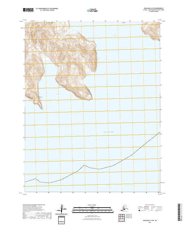
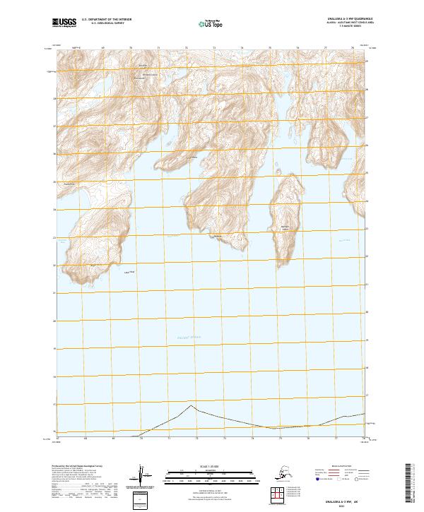
1989 Unalaska A-3
Aleutians West Borough, AK
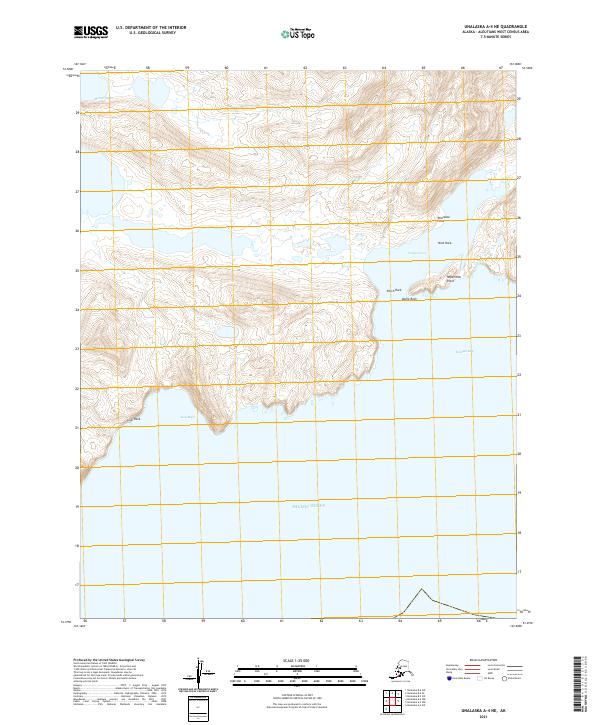
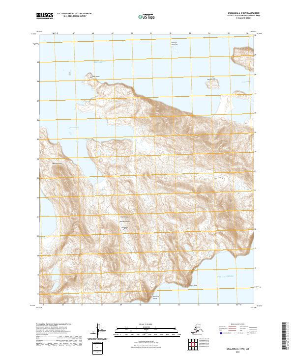
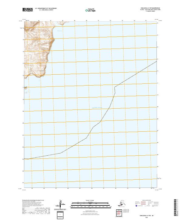
1989 Unalaska A-4
Aleutians West Borough, AK
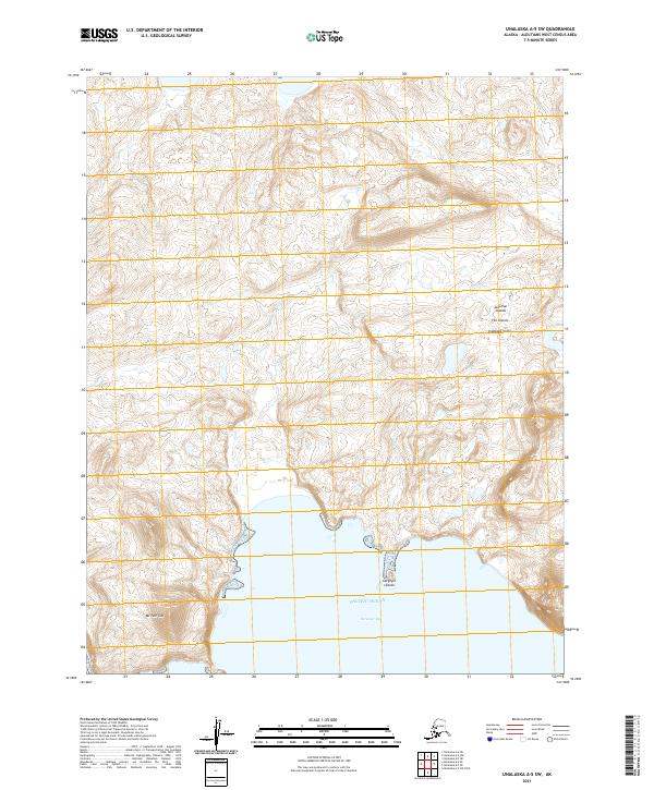
1989 Unalaska A-5
Aleutians West Borough, AK
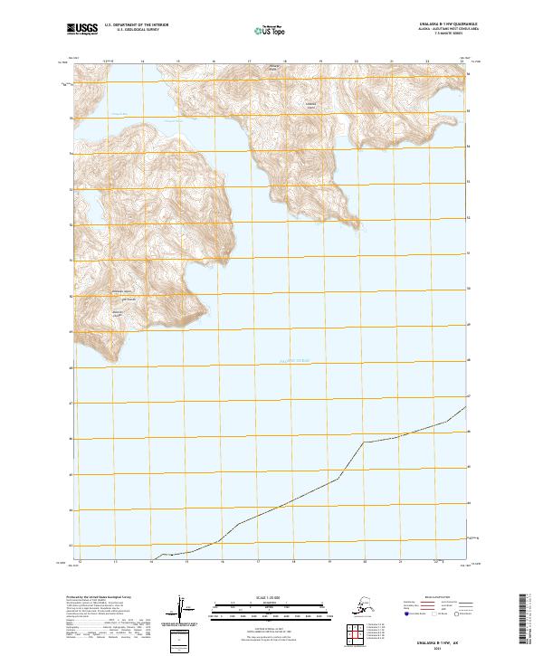
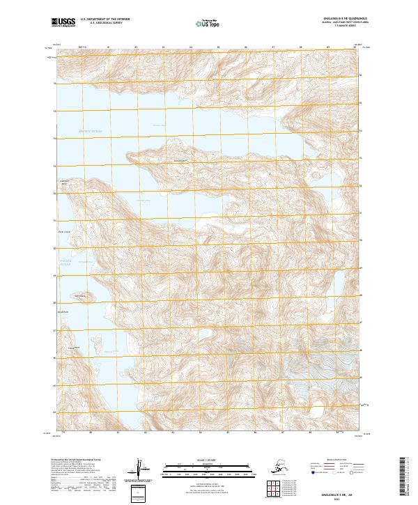
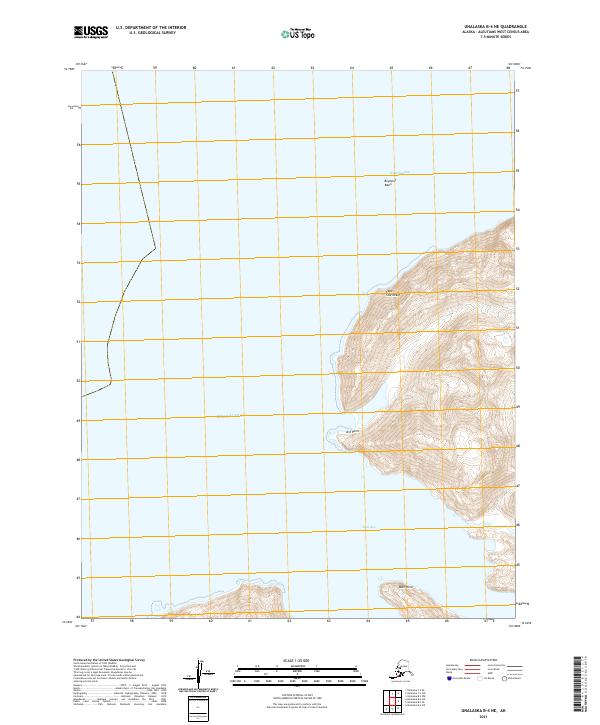
1989 Unalaska B-1
Aleutians West Borough, AK
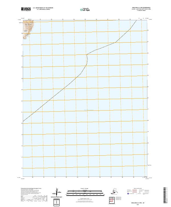
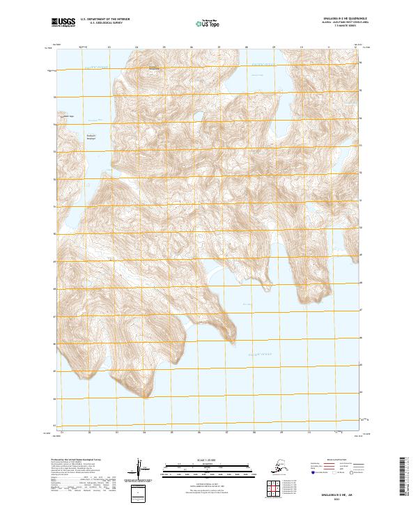
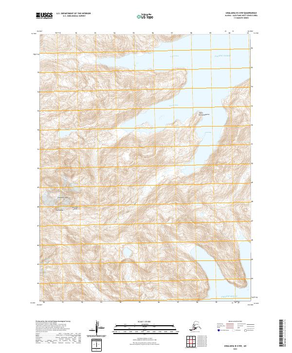
1989 Unalaska B-2
Aleutians West Borough, AK
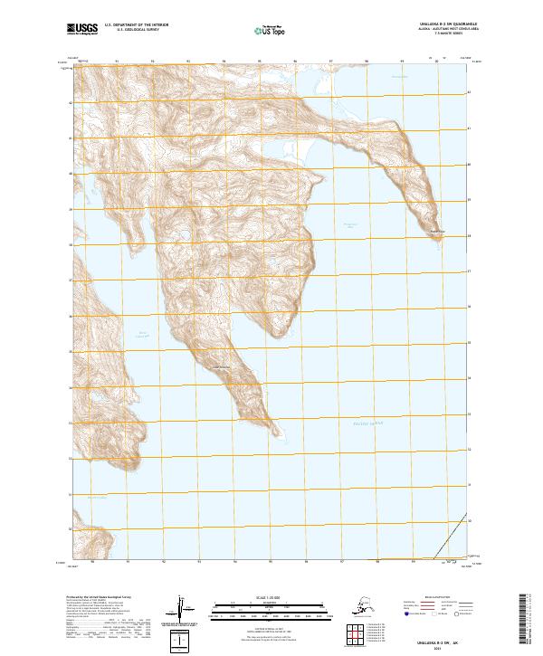
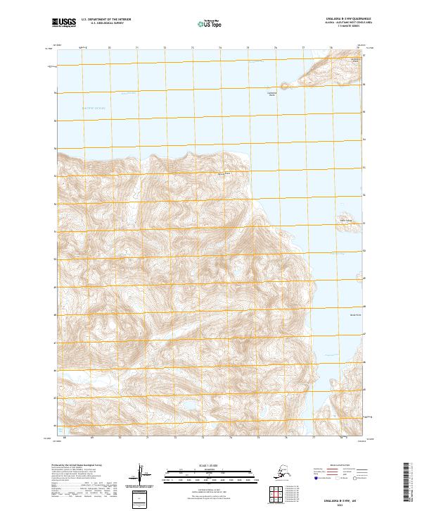
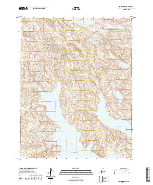
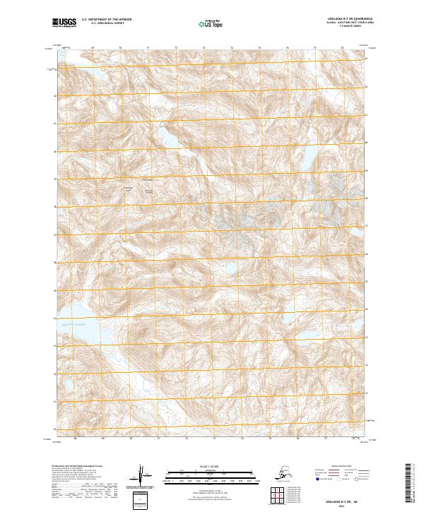
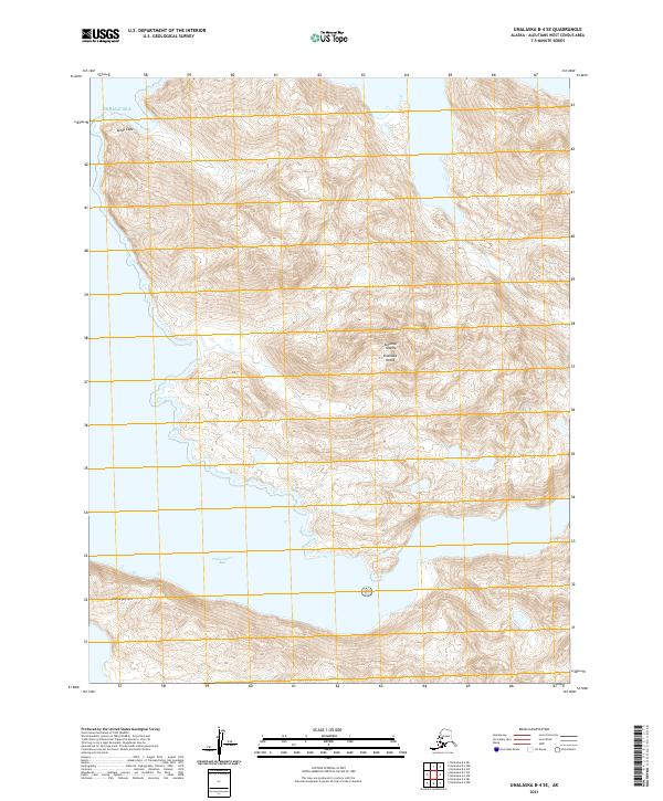
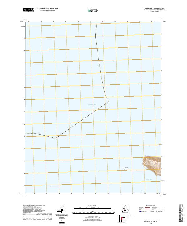
1989 Unalaska B-3
Aleutians West Borough, AK
1989 Unalaska B-4
Aleutians West Borough, AK
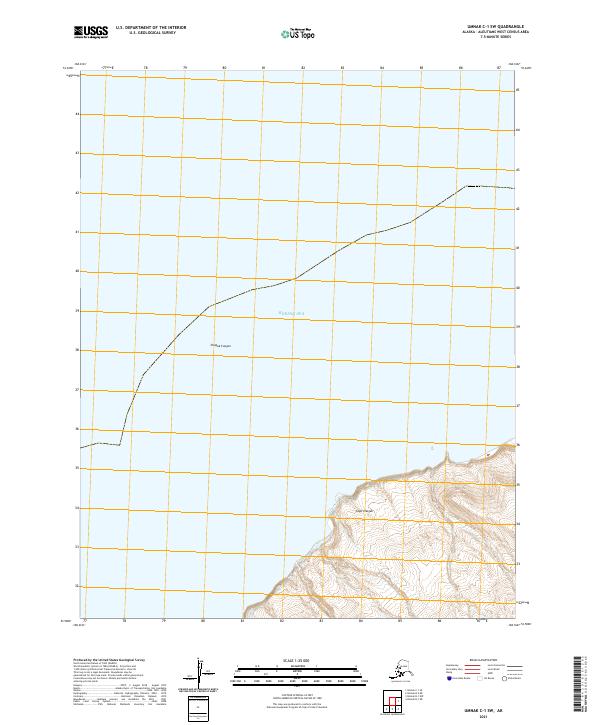
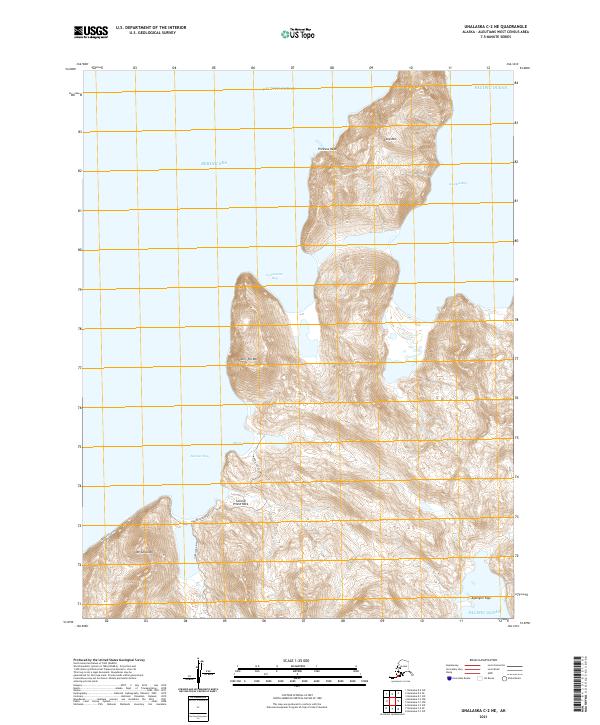
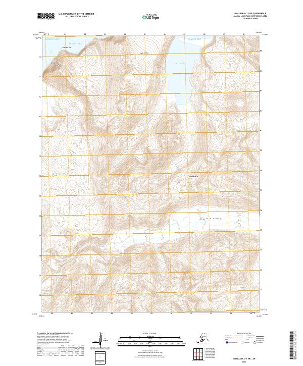
1989 Unalaska C-1
Aleutians West Borough, AK
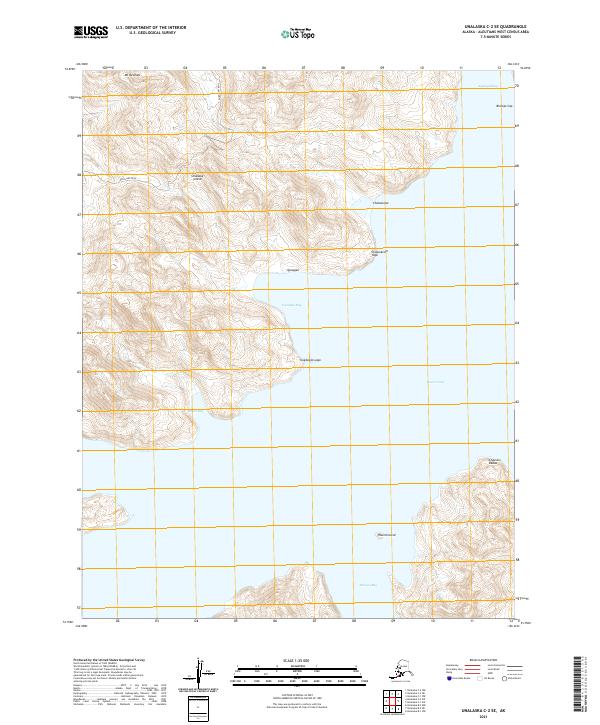
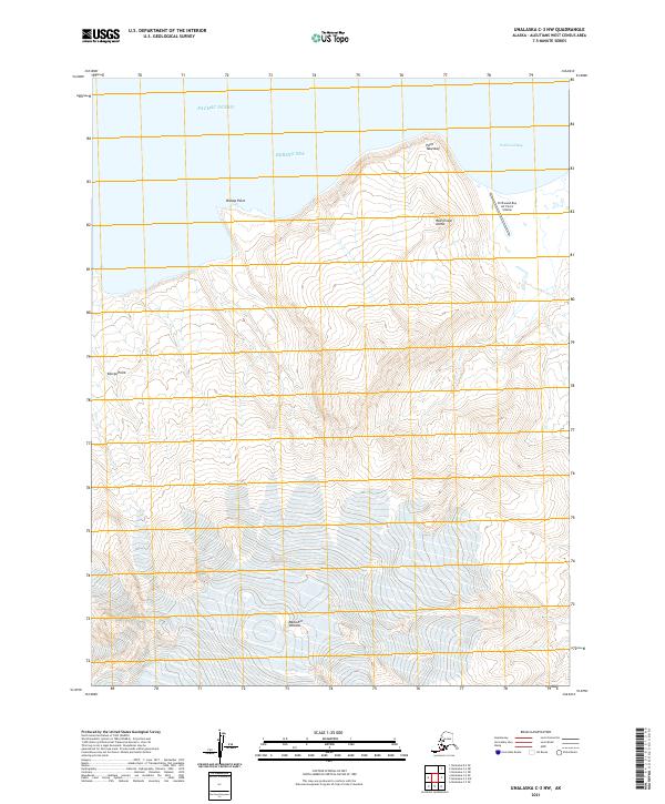
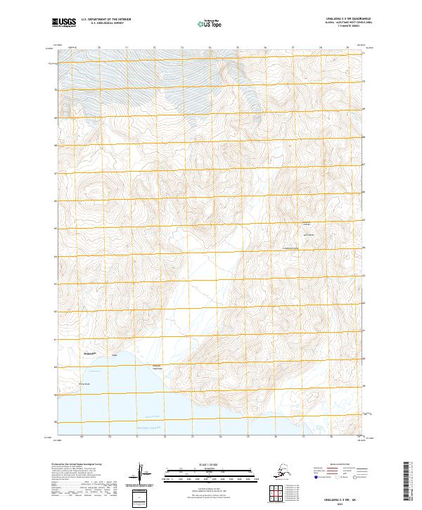
1989 Unalaska C-3
Aleutians West Borough, AK
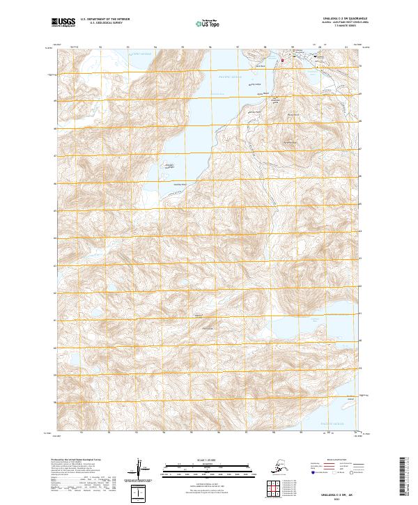
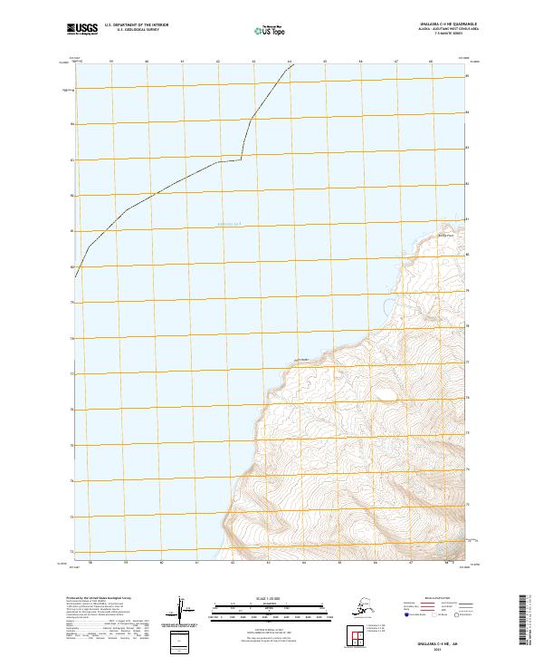
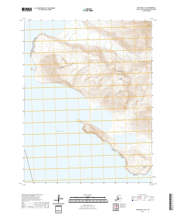
1989 Unalaska C-4
Aleutians West Borough, AK
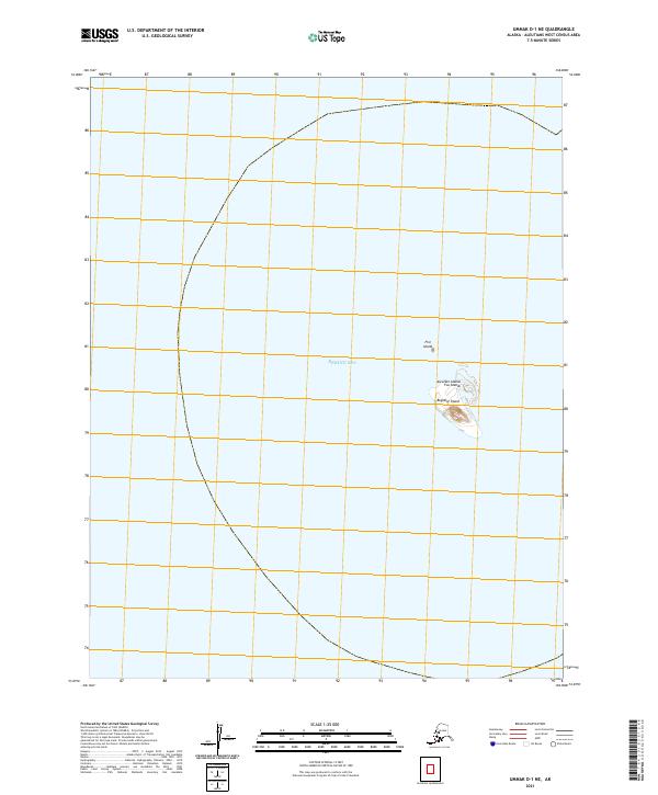
1989 Unalaska D-2
Aleutians West Borough, AK
1989 Unalaska D-3
Aleutians West Borough, AK

1990 Unalaska C-2
Aleutians West Borough, AK
2001 Saint George Island East
Aleutians West Borough, AK
2001 Saint George Island West
Aleutians West Borough, AK
2001 Saint Paul Island East
Aleutians West Borough, AK

2001 Saint Paul Island West
Aleutians West Borough, AK
2020 Pribilof Islands A-2 NE
Aleutians West Borough, AK
2020 Pribilof Islands A-2 NW
Aleutians West Borough, AK
2020 Pribilof Islands A-2 SE
Aleutians West Borough, AK
2020 Pribilof Islands A-2 SW
Aleutians West Borough, AK
2020 Pribilof Islands A-3 NE
Aleutians West Borough, AK
2020 Pribilof Islands A-3 SE
Aleutians West Borough, AK

2020 Pribilof Islands C-3 NW
Aleutians West Borough, AK
2020 Pribilof Islands C-4 NE
Aleutians West Borough, AK
2020 Pribilof Islands C-4 NW
Aleutians West Borough, AK
2020 Pribilof Islands C-5 NE
Aleutians West Borough, AK
2020 Pribilof Islands D-4 SE
Aleutians West Borough, AK
2020 Pribilof Islands D-4 SW
Aleutians West Borough, AK
2020 Pribilof Islands D-5 SE
Aleutians West Borough, AK
2020 Unalaska B-1 NE
Aleutians West Borough, AK
2020 Unalaska B-2 SE
Aleutians West Borough, AK
2020 Unalaska C-1 NW
Aleutians West Borough, AK
2020 Unalaska D-2 SE
Aleutians West Borough, AK
2020 Unalaska D-2 SW
Aleutians West Borough, AK
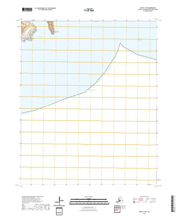
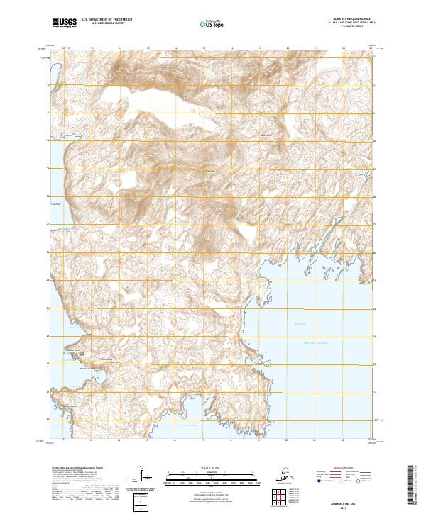
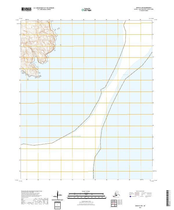
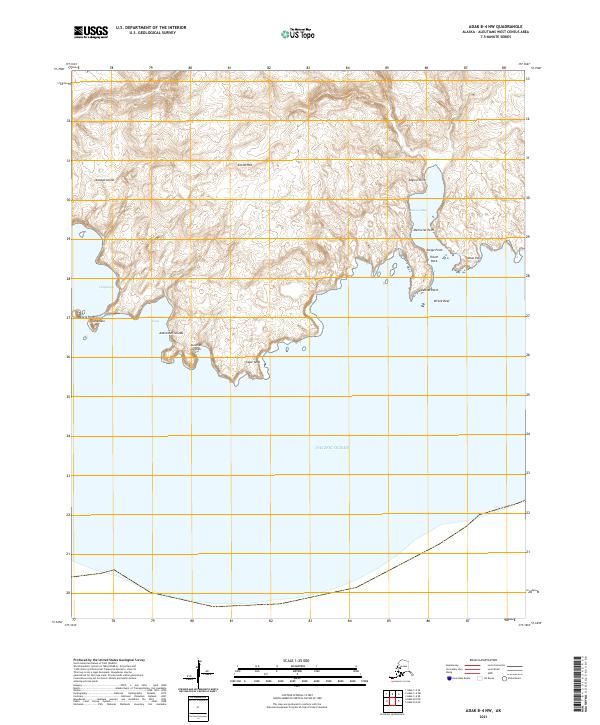
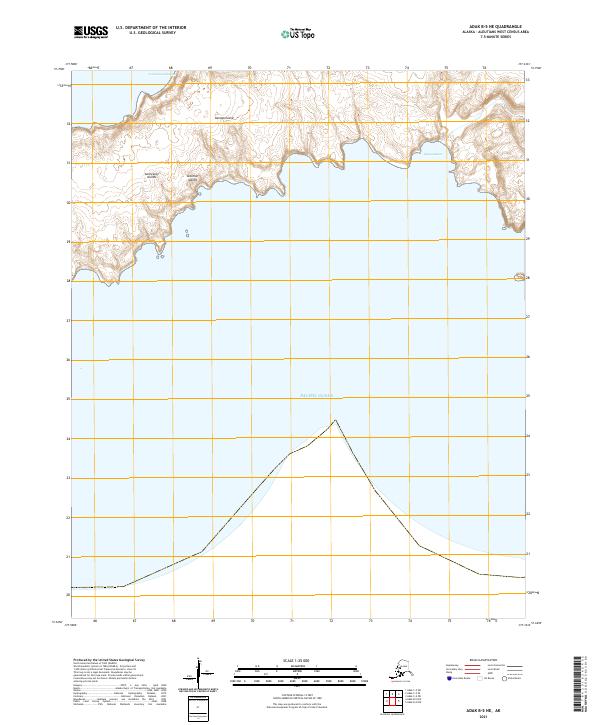
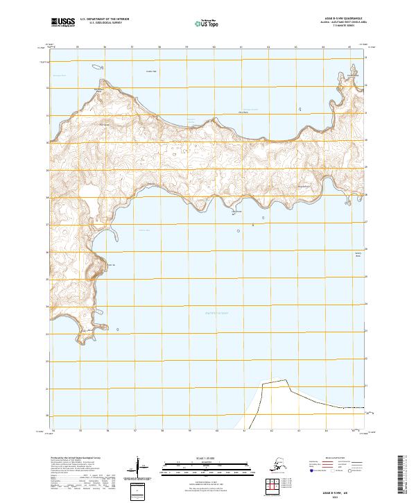
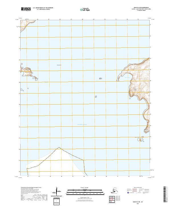
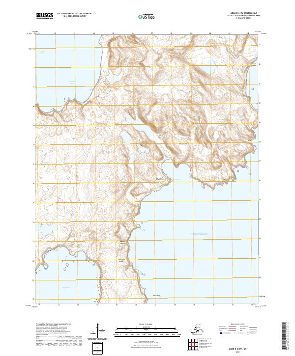
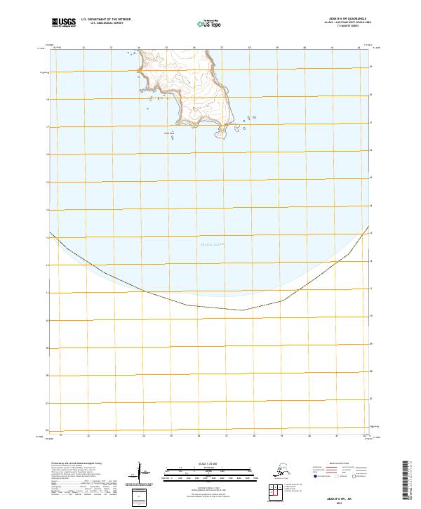
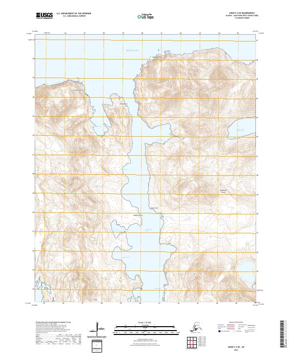
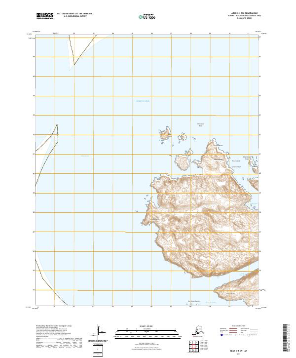
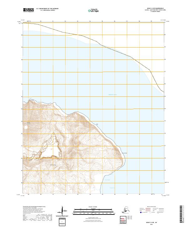
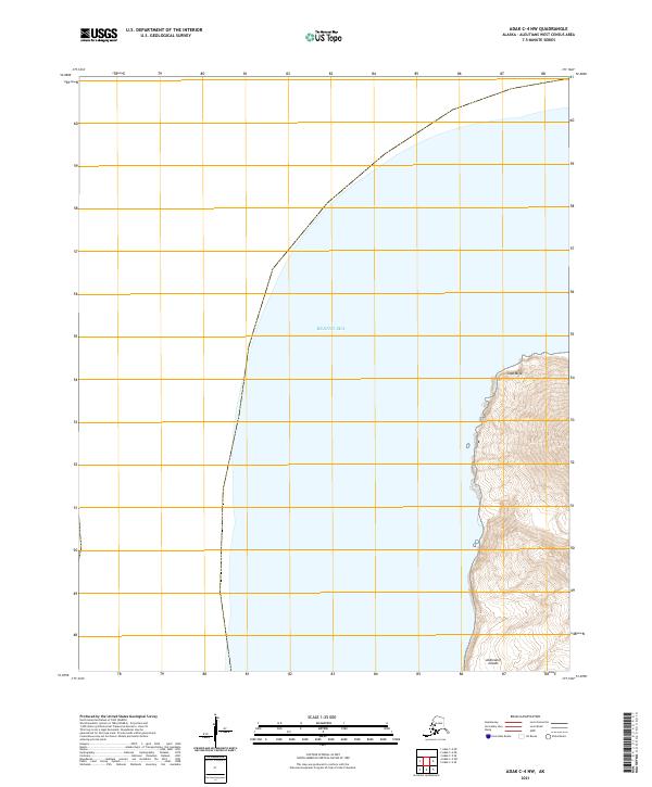
2021 Adak B-1 NW
Aleutians West Borough, AK
2021 Adak B-2 NE
Aleutians West Borough, AK
2021 Adak B-2 NW
Aleutians West Borough, AK
2021 Adak B-3 NE
Aleutians West Borough, AK
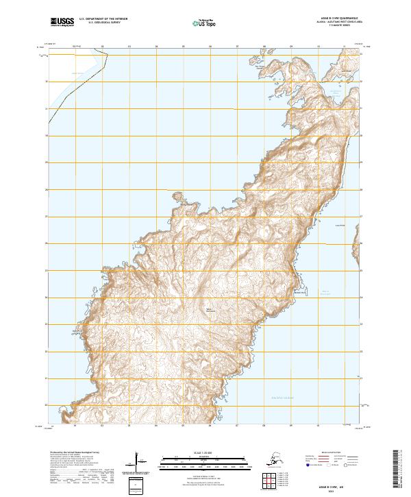
2021 Adak B-3 NW
Aleutians West Borough, AK
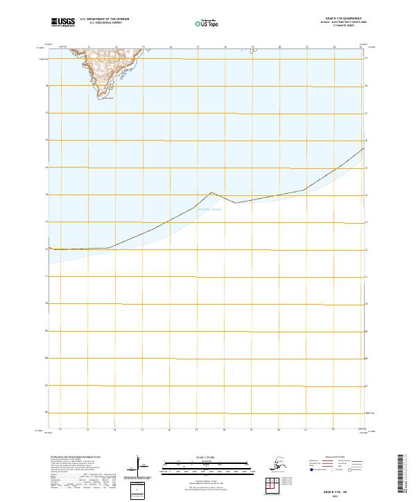
2021 Adak B-3 SE
Aleutians West Borough, AK
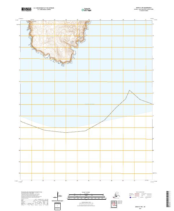
2021 Adak B-3 SW
Aleutians West Borough, AK
2021 Adak B-4 NE
Aleutians West Borough, AK
2021 Adak B-4 NW
Aleutians West Borough, AK
2021 Adak B-5 NE
Aleutians West Borough, AK
2021 Adak B-5 NW
Aleutians West Borough, AK
2021 Adak B-6 NE
Aleutians West Borough, AK
2021 Adak B-6 NW
Aleutians West Borough, AK
2021 Adak B-6 SW
Aleutians West Borough, AK
2021 Adak C-1 NE
Aleutians West Borough, AK
2021 Adak C-1 NW
Aleutians West Borough, AK
2021 Adak C-1 SE
Aleutians West Borough, AK
2021 Adak C-1 SW
Aleutians West Borough, AK

2021 Adak C-2 NW
Aleutians West Borough, AK
2021 Adak C-2 OE N SW
Aleutians West Borough, AK
2021 Adak C-2 SE
Aleutians West Borough, AK

2021 Adak C-2 SW
Aleutians West Borough, AK

2021 Adak C-3 NE
Aleutians West Borough, AK

2021 Adak C-3 SE
Aleutians West Borough, AK
2021 Adak C-3 SW
Aleutians West Borough, AK
2021 Adak C-4 NE
Aleutians West Borough, AK
2021 Adak C-4 NW
Aleutians West Borough, AK
2021 Adak C-4 SE
Aleutians West Borough, AK
2021 Adak C-4 SW
Aleutians West Borough, AK
2021 Adak C-5 NE
Aleutians West Borough, AK
2021 Adak C-5 SE
Aleutians West Borough, AK
2021 Adak C-5 SW
Aleutians West Borough, AK
2021 Adak C-6 NW
Aleutians West Borough, AK
2021 Adak C-6 SE
Aleutians West Borough, AK
2021 Adak C-6 SW
Aleutians West Borough, AK
2021 Adak D-1 NW
Aleutians West Borough, AK
2021 Adak D-1 SE
Aleutians West Borough, AK

2021 Adak D-1 SW
Aleutians West Borough, AK
2021 Amukta B-4 NW
Aleutians West Borough, AK
2021 Amukta C-1 NE
Aleutians West Borough, AK
2021 Amukta C-1 NW
Aleutians West Borough, AK
2021 Amukta C-2 NW
Aleutians West Borough, AK
2021 Amukta C-2 SW
Aleutians West Borough, AK
2021 Amukta C-3 NE
Aleutians West Borough, AK
2021 Amukta C-3 SE
Aleutians West Borough, AK
2021 Amukta C-3 SW
Aleutians West Borough, AK
2021 Amukta C-4 SE
Aleutians West Borough, AK
2021 Amukta C-4 SW
Aleutians West Borough, AK
2021 Amukta D-1 NE
Aleutians West Borough, AK
2021 Amukta D-1 SE
Aleutians West Borough, AK
2021 Amukta D-1 SW
Aleutians West Borough, AK
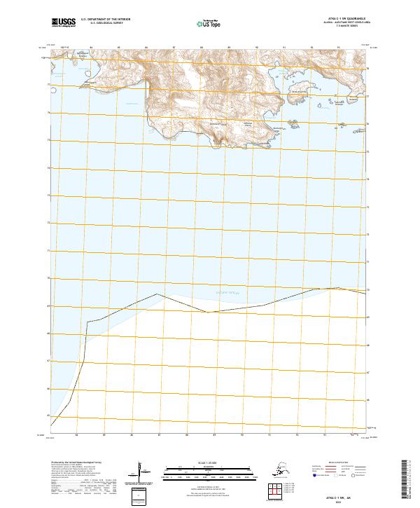
2021 Atka B-5 NE
Aleutians West Borough, AK
2021 Atka B-5 NW
Aleutians West Borough, AK
2021 Atka B-6 NE
Aleutians West Borough, AK
2021 Atka B-6 NW
Aleutians West Borough, AK
2021 Atka B-6 SW
Aleutians West Borough, AK

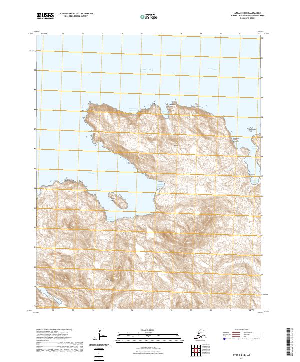
2021 Atka C-1 NE
Aleutians West Borough, AK

2021 Atka C-1 NW
Aleutians West Borough, AK
2021 Atka C-1 SE
Aleutians West Borough, AK
2021 Atka C-1 SW
Aleutians West Borough, AK
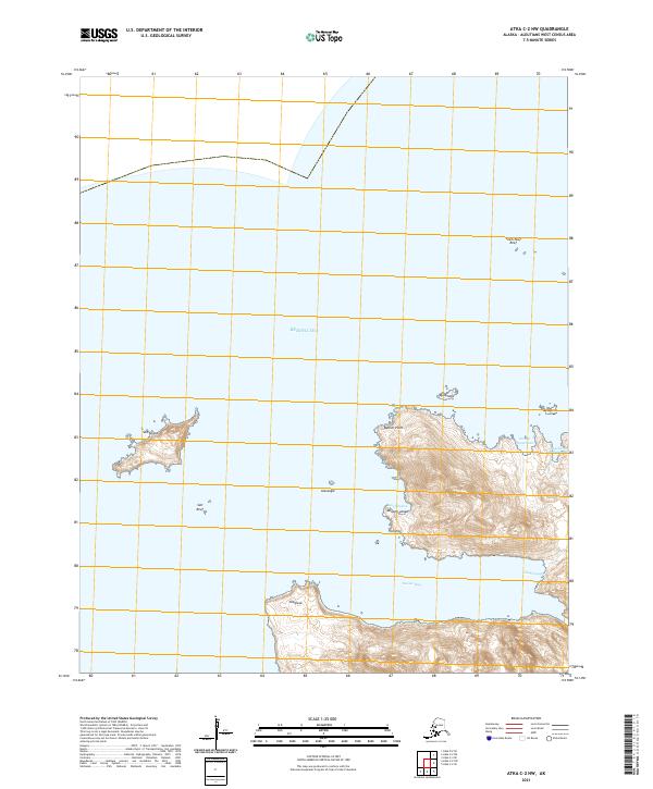
2021 Atka C-2 NE
Aleutians West Borough, AK
2021 Atka C-2 NW
Aleutians West Borough, AK
2021 Atka C-2 SE
Aleutians West Borough, AK
2021 Atka C-2 SW
Aleutians West Borough, AK
2021 Atka C-3 SE
Aleutians West Borough, AK
2021 Atka C-3 SW
Aleutians West Borough, AK
2021 Atka C-4 SE
Aleutians West Borough, AK
2021 Atka C-4 SW
Aleutians West Borough, AK
2021 Atka C-5 NE
Aleutians West Borough, AK
2021 Atka C-5 NW
Aleutians West Borough, AK
2021 Atka C-5 SE
Aleutians West Borough, AK

2021 Atka C-6 SW
Aleutians West Borough, AK
2021 Atka D-1 NE
Aleutians West Borough, AK
2021 Atka D-1 NW
Aleutians West Borough, AK

2021 Atka D-1 SE
Aleutians West Borough, AK

2021 Atka D-1 SW
Aleutians West Borough, AK
2021 Atka D-2 NE
Aleutians West Borough, AK
2021 Atka D-2 SE
Aleutians West Borough, AK

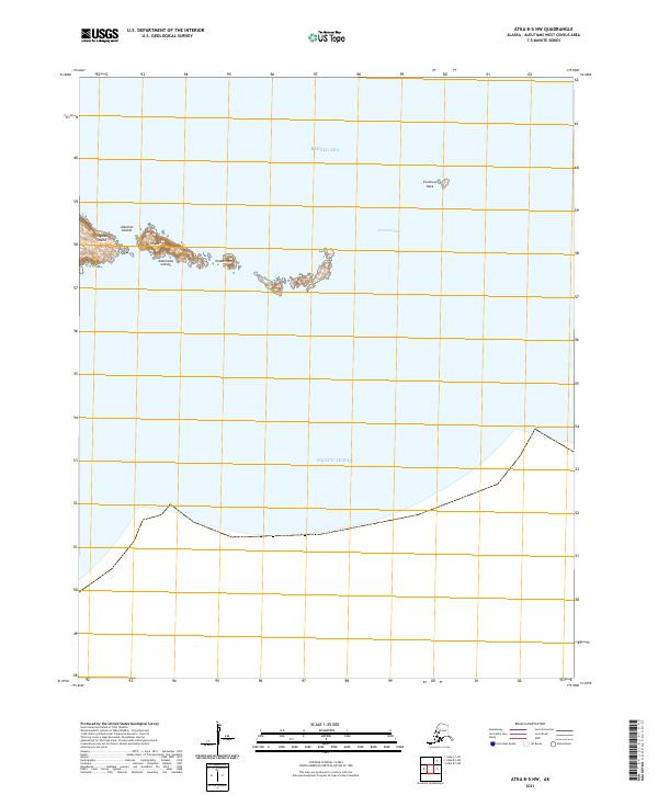
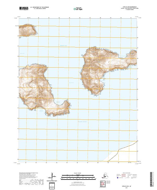
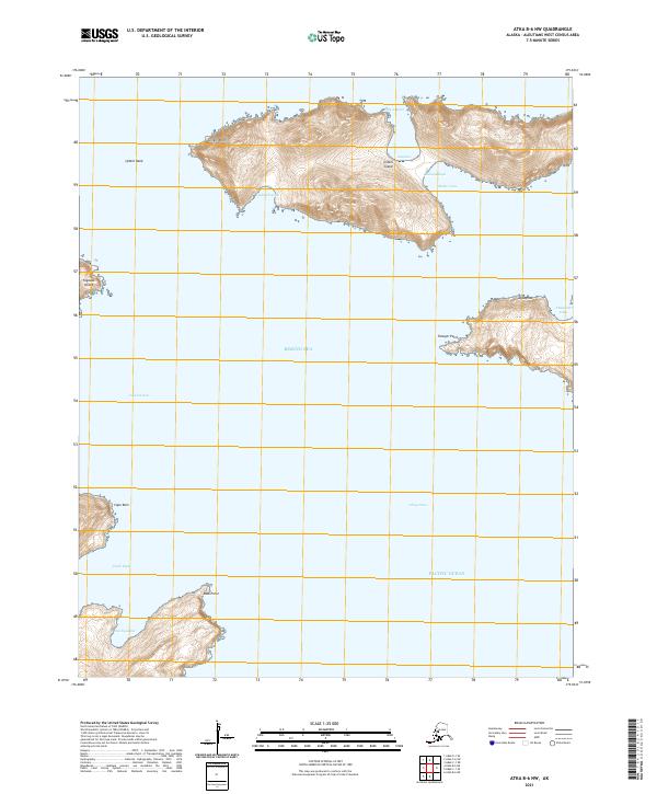
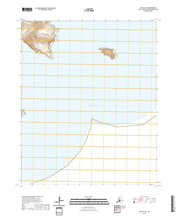
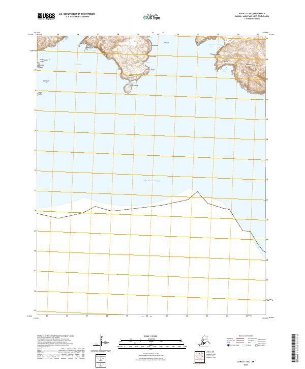
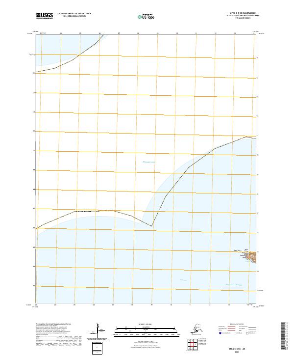
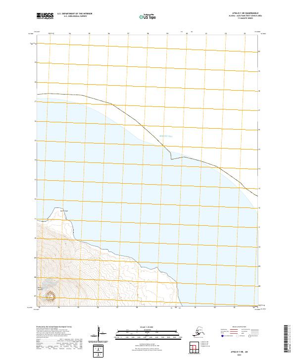
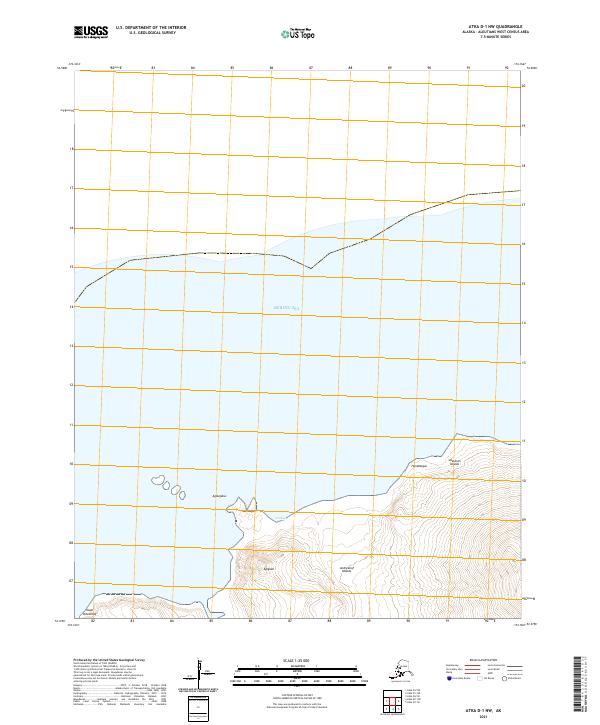
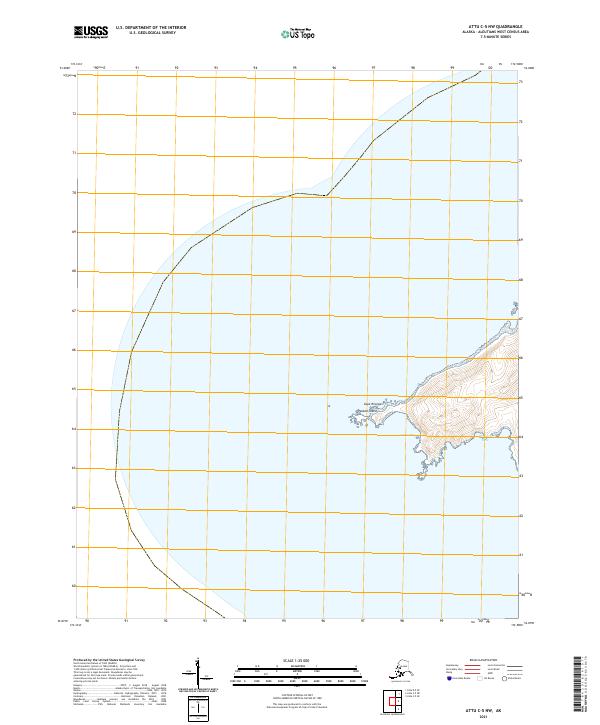
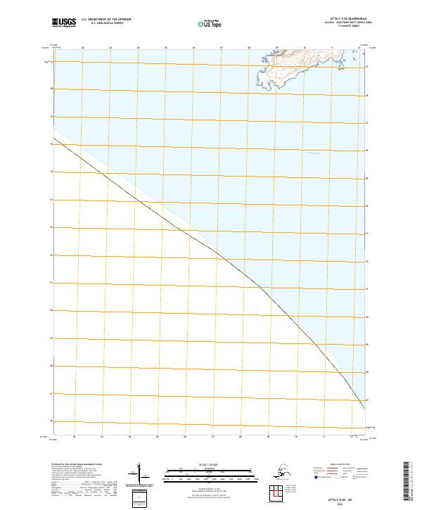
2021 Attu A-1 NW
Aleutians West Borough, AK
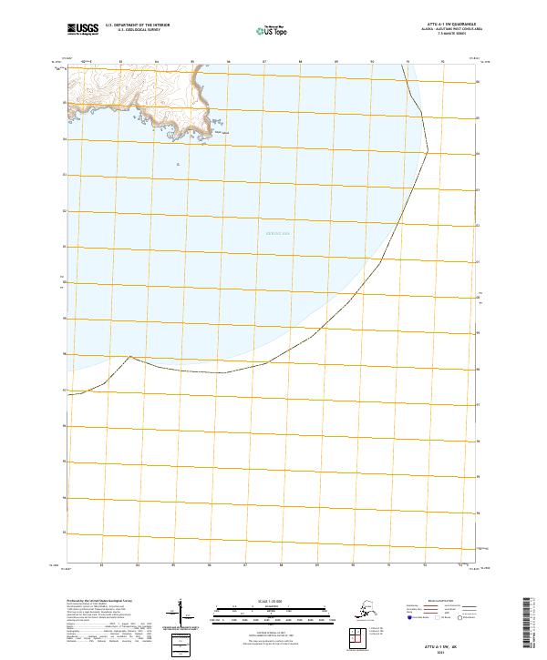
2021 Attu A-1 SW
Aleutians West Borough, AK
2021 Attu A-2 NE
Aleutians West Borough, AK
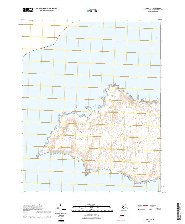
2021 Attu A-2 NW
Aleutians West Borough, AK
2021 Attu A-2 SE
Aleutians West Borough, AK
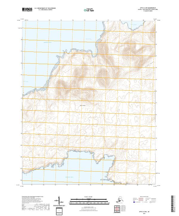
2021 Attu A-2 SW
Aleutians West Borough, AK
2021 Attu B-0 NW
Aleutians West Borough, AK
2021 Attu B-1 NE
Aleutians West Borough, AK
2021 Attu B-1 SW
Aleutians West Borough, AK
2021 Attu B-2 SE
Aleutians West Borough, AK
2021 Attu C-0 SW
Aleutians West Borough, AK
2021 Attu C-1 SE
Aleutians West Borough, AK
2021 Attu C-2 NW
Aleutians West Borough, AK
2021 Attu C-2 SW
Aleutians West Borough, AK

2021 Attu C-3 NE
Aleutians West Borough, AK
2021 Attu C-3 NW
Aleutians West Borough, AK
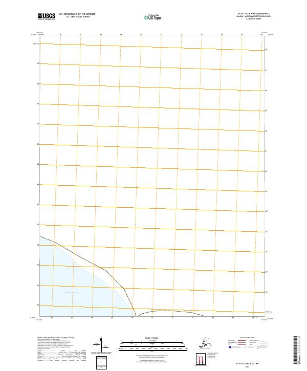
2021 Attu C-3 OE N SE
Aleutians West Borough, AK
2021 Attu C-3 OE N SW
Aleutians West Borough, AK
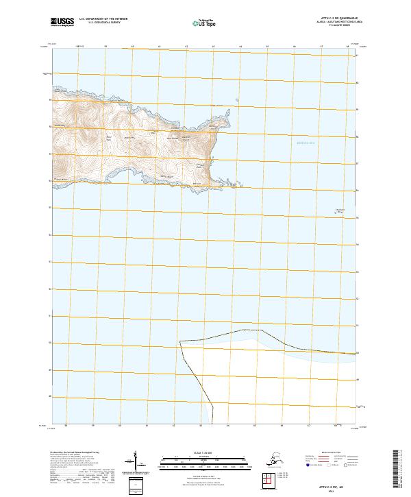
2021 Attu C-3 SE
Aleutians West Borough, AK
2021 Attu C-3 SW
Aleutians West Borough, AK
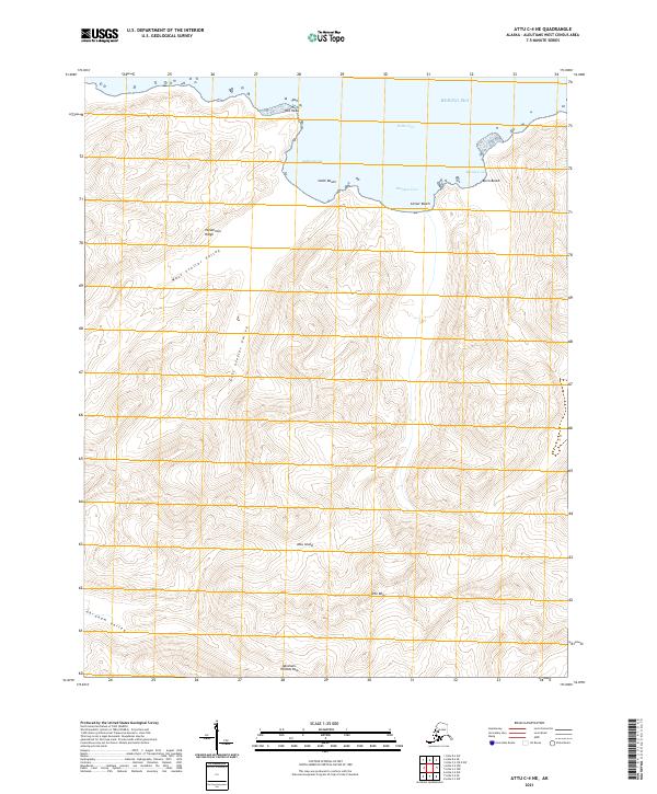
2021 Attu C-4 NE
Aleutians West Borough, AK
2021 Attu C-4 NW
Aleutians West Borough, AK
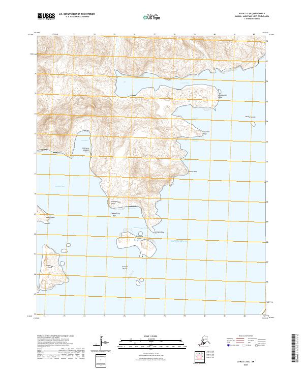
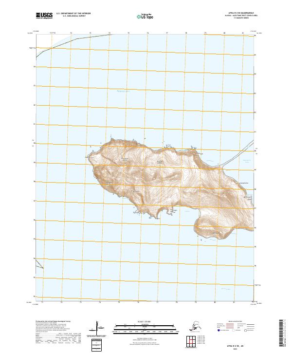
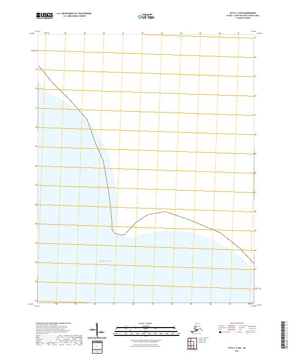
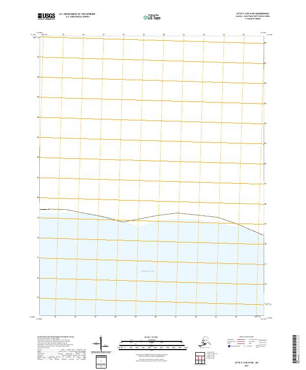
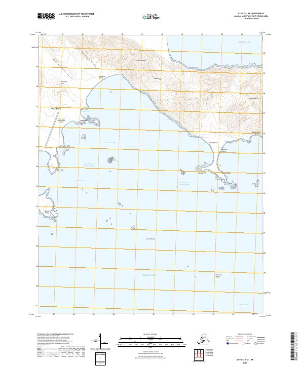
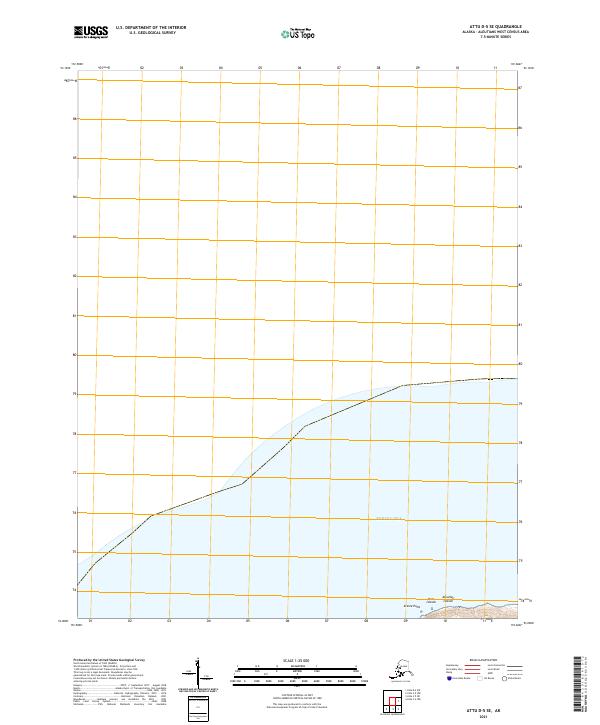
2021 Attu C-4 SE
Aleutians West Borough, AK
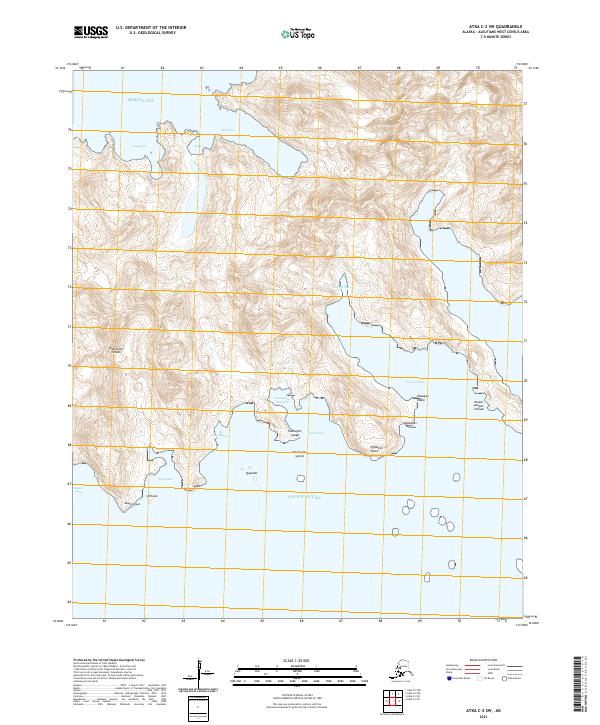
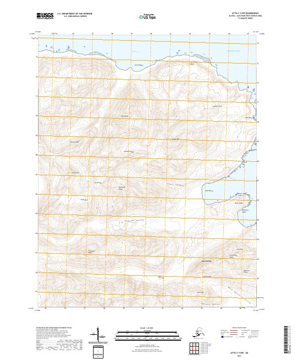
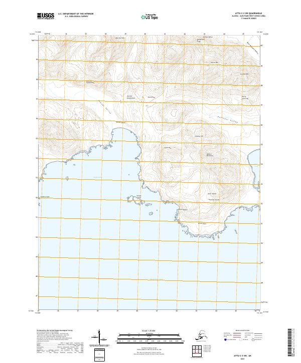
2021 Attu C-4 SW
Aleutians West Borough, AK
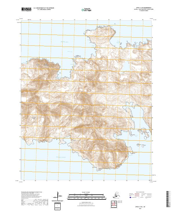
2021 Attu C-5 NE
Aleutians West Borough, AK
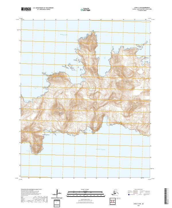
2021 Attu C-5 NW
Aleutians West Borough, AK
2021 Attu C-5 SE
Aleutians West Borough, AK
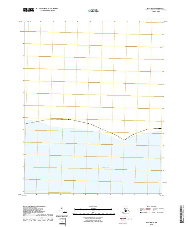
2021 Attu D-4 SE
Aleutians West Borough, AK
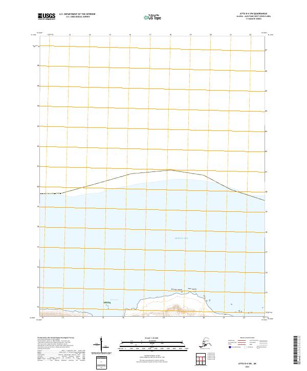
2021 Attu D-4 SW
Aleutians West Borough, AK
2021 Attu D-5 SE
Aleutians West Borough, AK
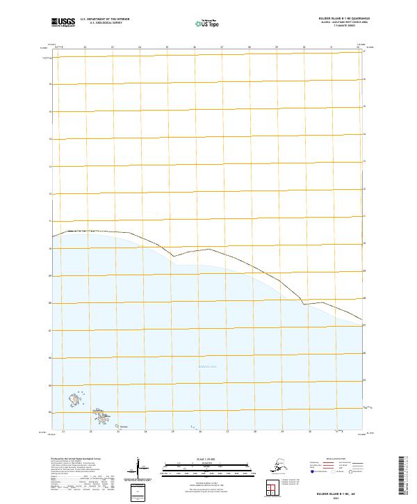
2021 Buldier Island B-1 NE
Aleutians West Borough, AK
2021 Buldier Island B-1 NW
Aleutians West Borough, AK
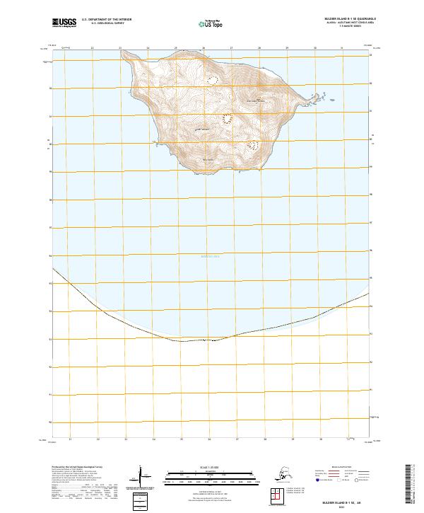
2021 Buldier Island B-1 SE
Aleutians West Borough, AK
2021 Buldier Island B-1 SW
Aleutians West Borough, AK
2021 Gareloi Island A-1 NW
Aleutians West Borough, AK
2021 Gareloi Island A-1 OE W NE
Aleutians West Borough, AK
2021 Gareloi Island A-3 NW
Aleutians West Borough, AK
2021 Gareloi Island A-3 SW
Aleutians West Borough, AK
2021 Gareloi Island A-4 OE S NE
Aleutians West Borough, AK
2021 Gareloi Island A-4 SE
Aleutians West Borough, AK
2021 Gareloi Island B-1 NE
Aleutians West Borough, AK
2021 Gareloi Island B-1 SE
Aleutians West Borough, AK
2021 Gareloi Island B-2 NW
Aleutians West Borough, AK
2021 Gareloi Island B-2 SW
Aleutians West Borough, AK
2021 Gareloi Island B-3 NE
Aleutians West Borough, AK
2021 Gareloi Island B-3 SE
Aleutians West Borough, AK
2021 Gareloi Island B-3 SW
Aleutians West Borough, AK
2021 Gareloi Island B-4 SE
Aleutians West Borough, AK
2021 Gareloi Island C-1 NE
Aleutians West Borough, AK
2021 Gareloi Island C-1 NW
Aleutians West Borough, AK
2021 Gareloi Island C-1 SE
Aleutians West Borough, AK
2021 Gareloi Island C-1 SW
Aleutians West Borough, AK
2021 Gareloi Island C-3 SE
Aleutians West Borough, AK
2021 Gareloi Island C-3 SW
Aleutians West Borough, AK
2021 Kiska C-1 NE
Aleutians West Borough, AK
2021 Kiska C-1 NW
Aleutians West Borough, AK
2021 Kiska C-2 NE
Aleutians West Borough, AK
2021 Kiska C-2 NW
Aleutians West Borough, AK
2021 Kiska C-2 SW
Aleutians West Borough, AK
2021 Kiska C-3 NE
Aleutians West Borough, AK
2021 Kiska C-3 SE
Aleutians West Borough, AK
2021 Kiska D-1 NW
Aleutians West Borough, AK
2021 Kiska D-1 SW
Aleutians West Borough, AK
2021 Kiska D-2 NE
Aleutians West Borough, AK
2021 Kiska D-2 SE
Aleutians West Borough, AK
2021 Kiska D-2 SW
Aleutians West Borough, AK
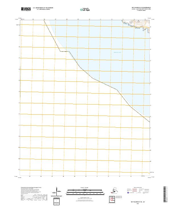
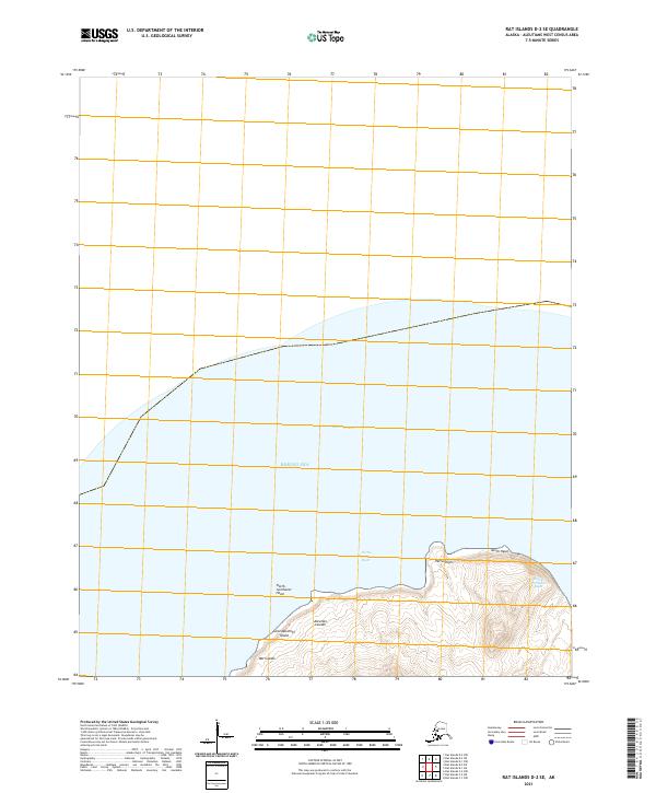
2021 Rat Islands A-2 NW
Aleutians West Borough, AK
2021 Rat Islands A-2 SE
Aleutians West Borough, AK
2021 Rat Islands A-2 SW
Aleutians West Borough, AK
2021 Rat Islands A-3 NE
Aleutians West Borough, AK
2021 Rat Islands A-3 NW
Aleutians West Borough, AK
2021 Rat Islands A-3 SE
Aleutians West Borough, AK
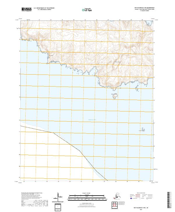
2021 Rat Islands B-3 SW
Aleutians West Borough, AK
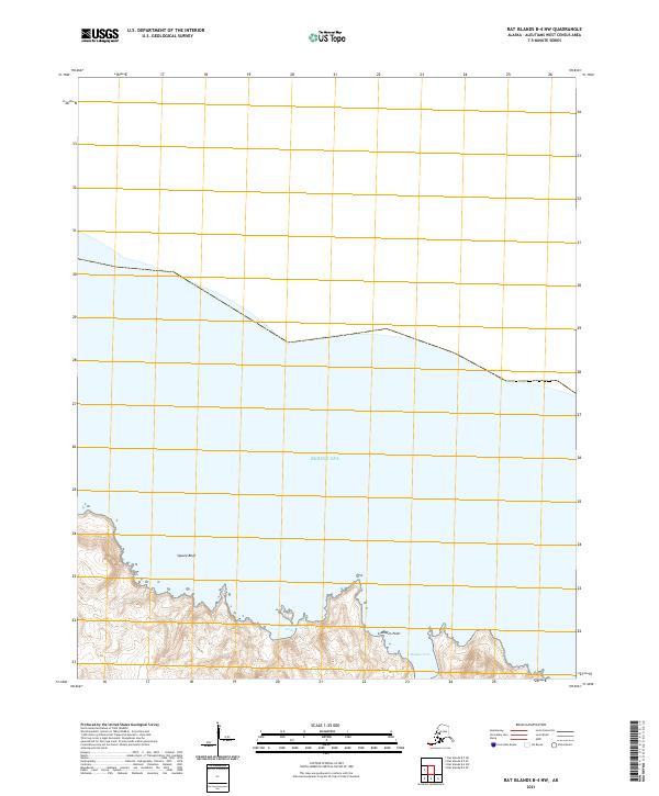
2021 Rat Islands B-4 NW
Aleutians West Borough, AK
2021 Rat Islands B-4 SE
Aleutians West Borough, AK
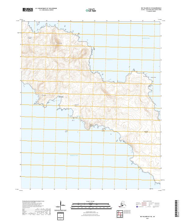
2021 Rat Islands B-4 SW
Aleutians West Borough, AK
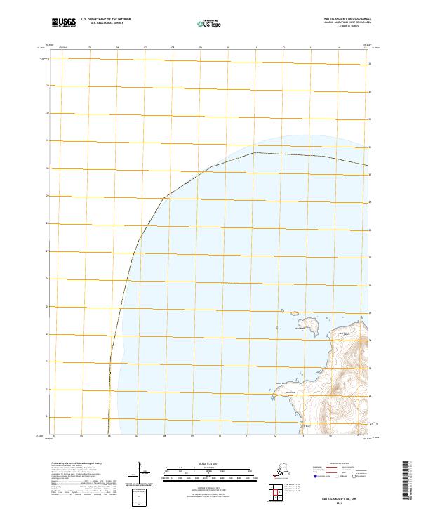
2021 Rat Islands B-5 NE
Aleutians West Borough, AK
2021 Rat Islands B-5 SE
Aleutians West Borough, AK

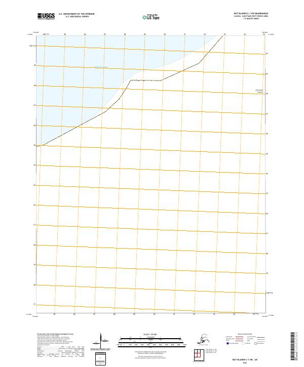
2021 Rat Islands C-1 NW
Aleutians West Borough, AK
2021 Rat Islands C-1 SW
Aleutians West Borough, AK
2021 Rat Islands C-2 NE
Aleutians West Borough, AK
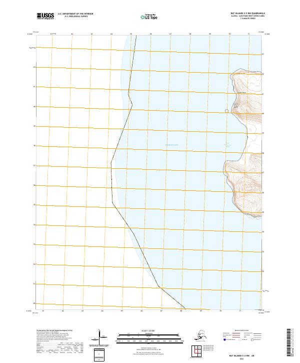
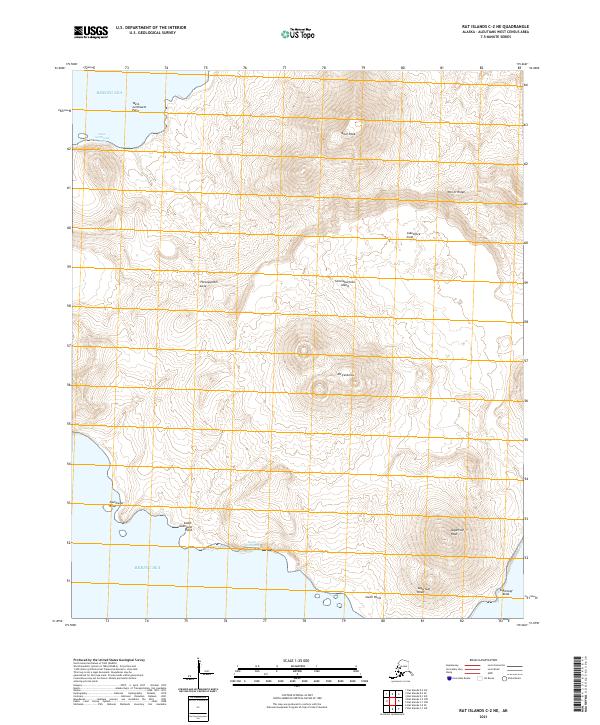
2021 Rat Islands C-2 NW
Aleutians West Borough, AK
2021 Rat Islands C-2 SE
Aleutians West Borough, AK
2021 Rat Islands C-5 NE
Aleutians West Borough, AK
2021 Rat Islands C-5 NW
Aleutians West Borough, AK
2021 Rat Islands C-5 SW
Aleutians West Borough, AK
2021 Rat Islands C-6 NE
Aleutians West Borough, AK
2021 Rat Islands C-6 NW
Aleutians West Borough, AK

2021 Rat Islands C-6 SE
Aleutians West Borough, AK
2021 Rat Islands D-1 SE
Aleutians West Borough, AK
2021 Rat Islands D-1 SW
Aleutians West Borough, AK
2021 Rat Islands D-2 SE
Aleutians West Borough, AK
2021 Rat Islands D-2 SW
Aleutians West Borough, AK
2021 Rat Islands D-6 SE
Aleutians West Borough, AK
2021 Rat Islands D-6 SW
Aleutians West Borough, AK
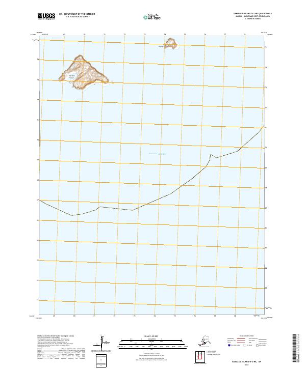
2021 Samalga Island D-2 NE
Aleutians West Borough, AK
2021 Samalga Island D-2 NW
Aleutians West Borough, AK
2021 Samalga Island D-3 NE
Aleutians West Borough, AK

2021 Samalga Island D-3 NW
Aleutians West Borough, AK
2021 Samalga Island D-3 SW
Aleutians West Borough, AK
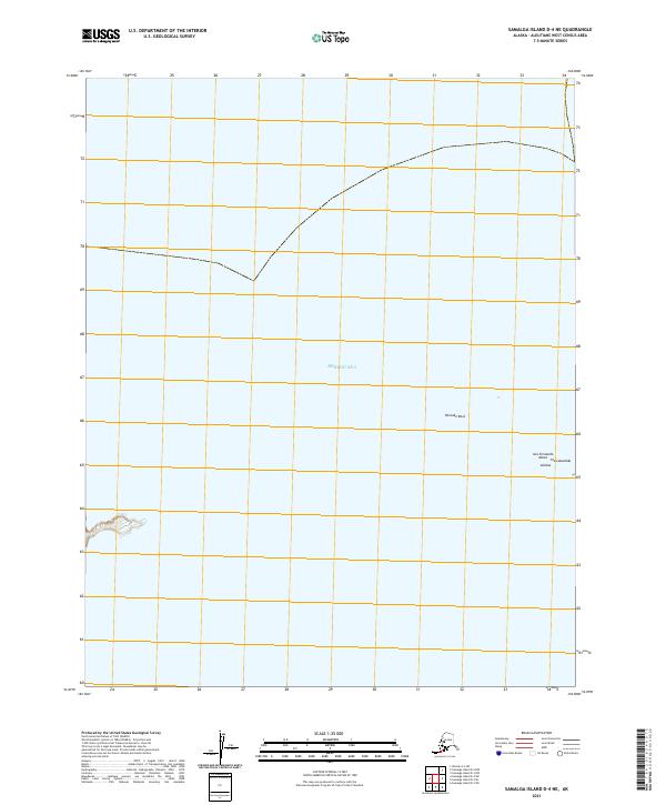
2021 Samalga Island D-4 NE
Aleutians West Borough, AK
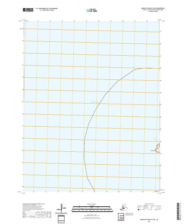
2021 Samalga Island D-4 NW
Aleutians West Borough, AK
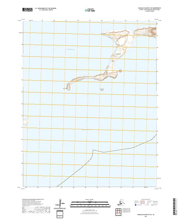
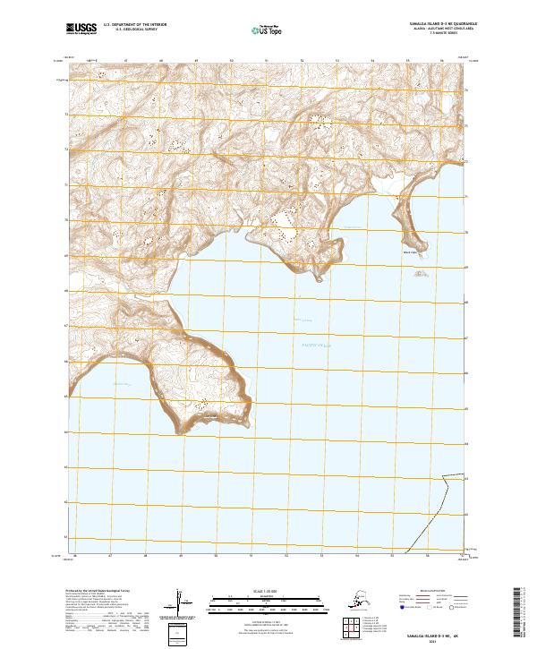
2021 Samalga Island D-4 SE
Aleutians West Borough, AK
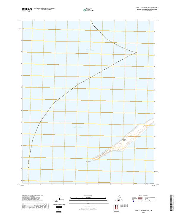
2021 Samalga Island D-4 SW
Aleutians West Borough, AK
2021 Samalga Island D-6 NE
Aleutians West Borough, AK
2021 Samalga Island D-6 NW
Aleutians West Borough, AK
2021 Samalga Island D-6 OE E NW
Aleutians West Borough, AK
2021 Samalga Island D-6 SE
Aleutians West Borough, AK
2021 Samalga Island D-6 SW
Aleutians West Borough, AK
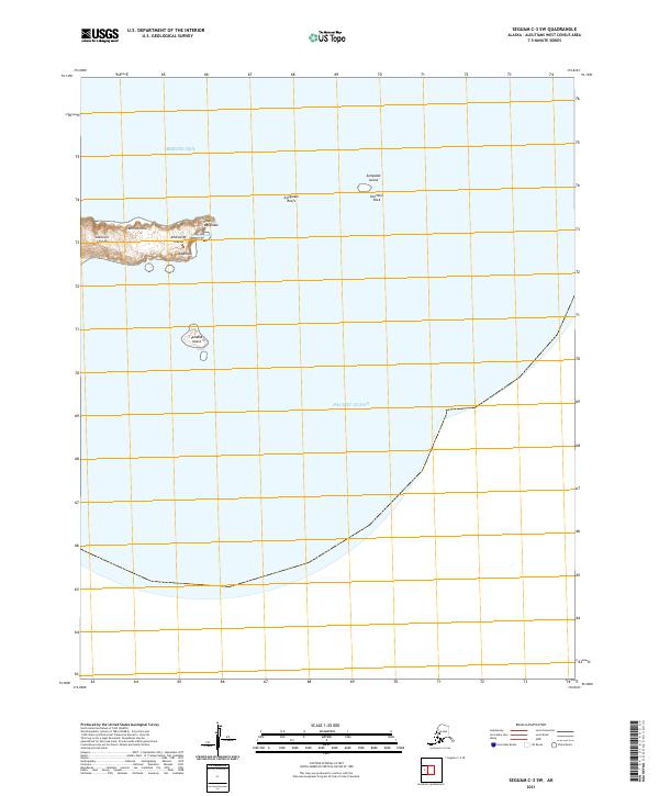
2021 Seguam C-3 SW
Aleutians West Borough, AK
2021 Seguam C-4 SE
Aleutians West Borough, AK
2021 Seguam C-4 SW
Aleutians West Borough, AK
2021 Seguam C-5 NE
Aleutians West Borough, AK
2021 Seguam C-5 NW
Aleutians West Borough, AK
2021 Seguam C-5 SE
Aleutians West Borough, AK
2021 Seguam C-5 SW
Aleutians West Borough, AK
2021 Seguam C-6 NE
Aleutians West Borough, AK
2021 Seguam C-6 NW
Aleutians West Borough, AK
2021 Seguam C-6 SE
Aleutians West Borough, AK
2021 Seguam C-6 SW
Aleutians West Borough, AK
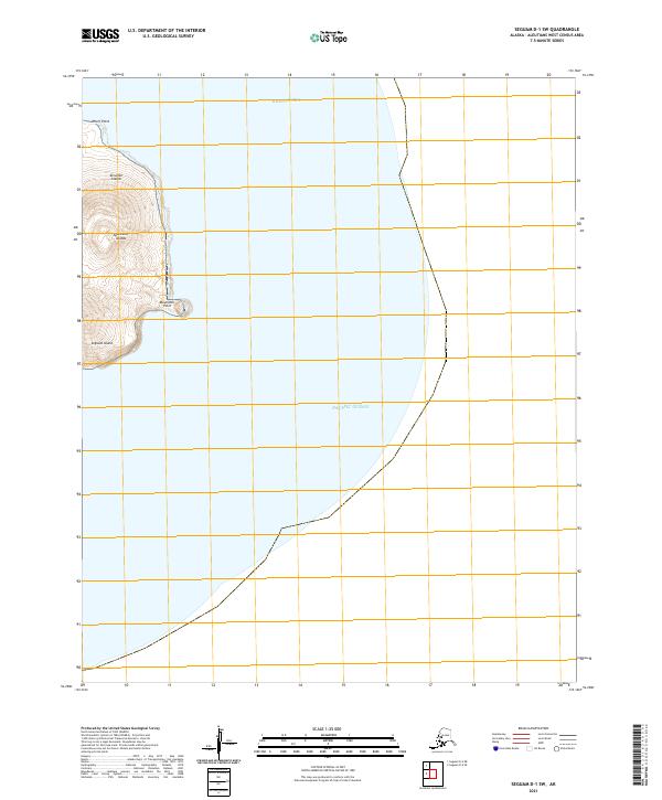
2021 Seguam D-1 SW
Aleutians West Borough, AK
2021 Seguam D-2 NE
Aleutians West Borough, AK
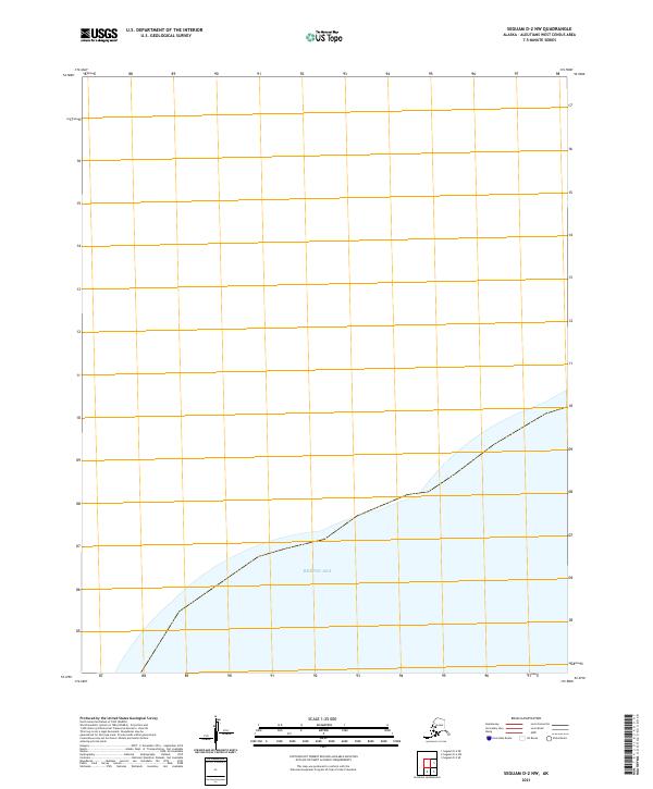
2021 Seguam D-2 NW
Aleutians West Borough, AK
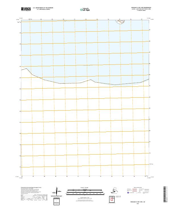
2021 Seguam D-2 OE S NW
Aleutians West Borough, AK
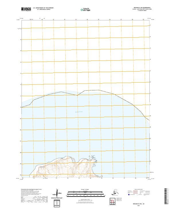
2021 Seguam D-2 SE
Aleutians West Borough, AK
2021 Seguam D-2 SW
Aleutians West Borough, AK
2021 Seguam D-6 SW
Aleutians West Borough, AK
2021 Umnak A-1 NW
Aleutians West Borough, AK
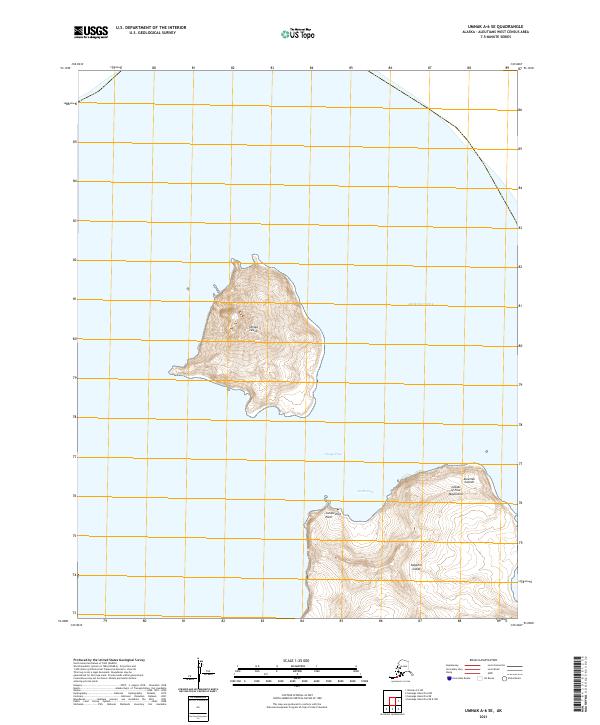
2021 Umnak A-2 NE
Aleutians West Borough, AK
2021 Umnak A-2 NW
Aleutians West Borough, AK
2021 Umnak A-2 SE
Aleutians West Borough, AK
2021 Umnak A-2 SW
Aleutians West Borough, AK
2021 Umnak A-3 NE
Aleutians West Borough, AK
2021 Umnak A-3 SE
Aleutians West Borough, AK
2021 Umnak A-3 SW
Aleutians West Borough, AK
2021 Umnak A-5 SW
Aleutians West Borough, AK
2021 Umnak A-6 SE
Aleutians West Borough, AK
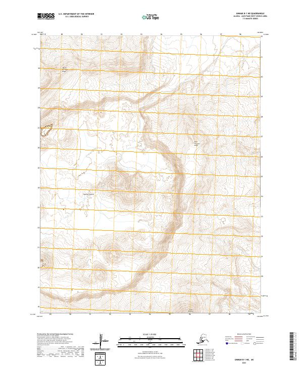
2021 Umnak B-1 NE
Aleutians West Borough, AK
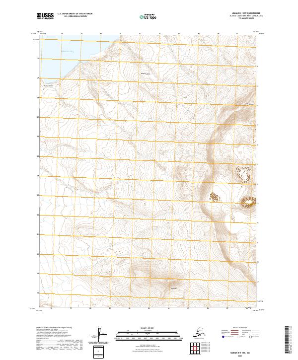
2021 Umnak B-1 NW
Aleutians West Borough, AK
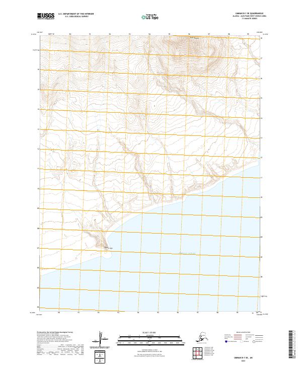
2021 Umnak B-1 SE
Aleutians West Borough, AK

2021 Umnak B-1 SW
Aleutians West Borough, AK
2021 Umnak B-2 NE
Aleutians West Borough, AK
2021 Umnak B-2 SE
Aleutians West Borough, AK
2021 Umnak B-2 SW
Aleutians West Borough, AK
2021 Umnak C-1 SE
Aleutians West Borough, AK
2021 Umnak C-1 SW
Aleutians West Borough, AK
2021 Umnak D-1 NE
Aleutians West Borough, AK
2021 Unalaska A-2 NW
Aleutians West Borough, AK
2021 Unalaska A-3 NE
Aleutians West Borough, AK
2021 Unalaska A-3 NW
Aleutians West Borough, AK
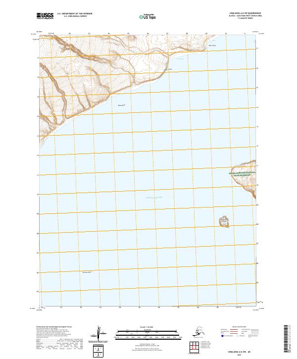
2021 Unalaska A-4 NE
Aleutians West Borough, AK
2021 Unalaska A-4 NW
Aleutians West Borough, AK
2021 Unalaska A-4 SW
Aleutians West Borough, AK
2021 Unalaska A-5 NE
Aleutians West Borough, AK
2021 Unalaska A-5 NW
Aleutians West Borough, AK
2021 Unalaska A-5 OE S NW
Aleutians West Borough, AK
2021 Unalaska A-5 SE
Aleutians West Borough, AK
2021 Unalaska A-5 SW
Aleutians West Borough, AK
2021 Unalaska A-6 NE
Aleutians West Borough, AK
2021 Unalaska A-6 NW
Aleutians West Borough, AK
2021 Unalaska A-6 SE
Aleutians West Borough, AK
2021 Unalaska A-6 SW
Aleutians West Borough, AK
2021 Unalaska B-1 NW
Aleutians West Borough, AK
2021 Unalaska B-2 NE
Aleutians West Borough, AK
2021 Unalaska B-2 NW
Aleutians West Borough, AK
2021 Unalaska B-2 SW
Aleutians West Borough, AK
2021 Unalaska B-3 NE
Aleutians West Borough, AK
2021 Unalaska B-3 NW
Aleutians West Borough, AK
2021 Unalaska B-3 SE
Aleutians West Borough, AK
2021 Unalaska B-3 SW
Aleutians West Borough, AK
2021 Unalaska B-4 NE
Aleutians West Borough, AK
2021 Unalaska B-4 SE
Aleutians West Borough, AK
2021 Unalaska B-4 SW
Aleutians West Borough, AK
2021 Unalaska B-6 SE
Aleutians West Borough, AK
2021 Unalaska B-6 SW
Aleutians West Borough, AK
2021 Unalaska C-1 SE
Aleutians West Borough, AK
2021 Unalaska C-1 SW
Aleutians West Borough, AK
2021 Unalaska C-2 NE
Aleutians West Borough, AK

2021 Unalaska C-2 NW
Aleutians West Borough, AK
2021 Unalaska C-2 SE
Aleutians West Borough, AK
2021 Unalaska C-2 SW
Aleutians West Borough, AK
2021 Unalaska C-3 NE
Aleutians West Borough, AK
2021 Unalaska C-3 NW
Aleutians West Borough, AK

2021 Unalaska C-3 SE
Aleutians West Borough, AK
2021 Unalaska C-3 SW
Aleutians West Borough, AK
2021 Unalaska C-4 NE
Aleutians West Borough, AK
2021 Unalaska C-4 SE
Aleutians West Borough, AK
2021 Unalaska D-3 SE
Aleutians West Borough, AK