
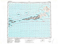
1959 Map of Atka
USGS Topo · Published 1971About this map
Atka serves as the primary outpost on this mid-century survey of the Andreanof Islands, where the volcanic peaks of Korovin Volcano and Mt Kliuchef dominate the northern peninsula. The settlement is positioned on a narrow isthmus between the sheltered waters of Nazan Bay and Korovin Bay, a strategic location for maritime activity in the Bering Sea. The map details a complex archipelago including Kasatochi Island, Koniuji Island, and Salt Island, all contained within the National Wildlife Refuge. Numerous bights and harbors like Bechevin Bay and Explorer Bay indent the coastline, while named landmarks such as Atka NE Base and various coastal points like Pinnacle Pt provide specific reference for maritime navigation and local history. The surveying reflects the era's focus on documenting the remote Aleutian chain following intensified interest in the region's geography and hydrography.
Find a feature on this map
98 named features on this map. Tap any name to fly to it.
Don’t see what you’re looking for? This feature index may not catch every label — zoom into the map to look around manually.
Map Details
Editions of this 1959 Atka Map
2 editions found
Other maps of this area

1951 · Seguam
USGS Topo · 1:250,000

1951 · Adak
USGS Topo · 1:250,000

1952 · Atka
USGS Topo · 1:250,000

1954 · Adak
USGS Topo · 1:250,000

1957 · Adak
USGS Topo · 1:250,000

1958 · Seguam
USGS Topo · 1:250,000

1967 · Adak
USGS Topo · 1:250,000

1983 · Adak
USGS Topo · 1:250,000
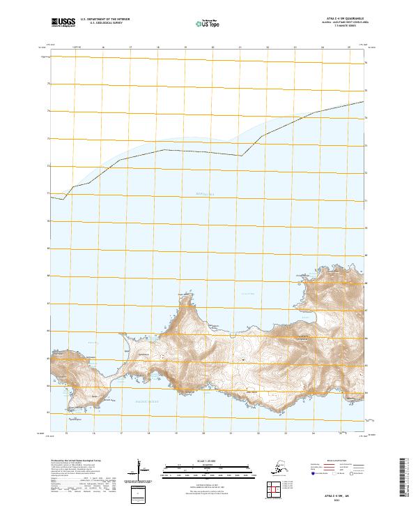
2021 · Atka C-4 SW
USGS Topo · 1:25,000
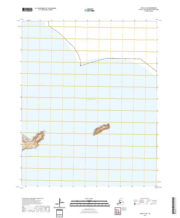
2021 · Atka C-6 SW
USGS Topo · 1:25,000