
1952 Map of Atka
USGS Topo · Published 1952About this map
Atka I and the surrounding Andreanof Islands are depicted here during a period of transition in the early 1950s. The settlement of Atka is situated on the island's eastern end, sheltered between Nazan Bay and Korovin Bay. This maritime outpost serves as a focal point for the region, featuring a Commercial Airport, a Seaplane Anchorage, and a Light at North Cape. The topography is dominated by volcanic peaks, including the prominent Korovin Volcano and Mt Kliuchef in the north and Mt Sergief near the center of the island.
Find a feature on this map
95 named features on this map. Tap any name to fly to it.
Don’t see what you’re looking for? This feature index may not catch every label — zoom into the map to look around manually.
Map Details
Editions of this 1952 Atka Map
This is the sole edition of this map. No revisions or reprints were ever made.
Other maps of this area

1951 · Seguam
USGS Topo · 1:250,000

1951 · Adak
USGS Topo · 1:250,000

1954 · Adak
USGS Topo · 1:250,000

1957 · Adak
USGS Topo · 1:250,000

1958 · Seguam
USGS Topo · 1:250,000

1959 · Atka
USGS Topo · 1:250,000

1967 · Adak
USGS Topo · 1:250,000

1983 · Adak
USGS Topo · 1:250,000
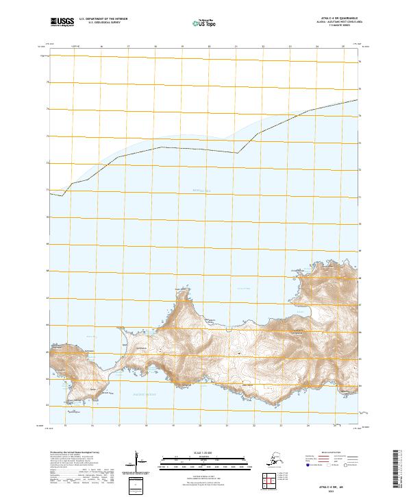
2021 · Atka C-4 SW
USGS Topo · 1:25,000
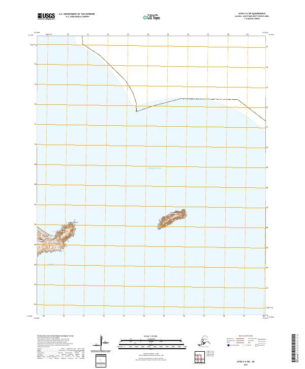
2021 · Atka C-6 SW
USGS Topo · 1:25,000