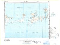
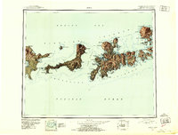
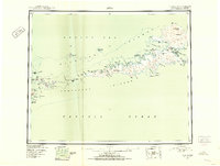
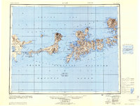
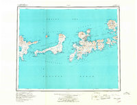
1967 Map of Adak
USGS Topo · Published 1967About this map
The Adak Naval Air Station serves as the focal point of this mid-century survey, situated at the northern end of Adak Island between Kuluk Bay and the sheltered Clam Lagoon. This era of the Aleutian chain shows a landscape shaped by military infrastructure and geological volatility, with the peaks of Mount Moffett and Mount Adagdak looming over the naval facility. The map captures the specialized transport and supply network required for this outpost, including roads connecting the station to Finger Bay and Scabbard Bay.
Find a feature on this map
160 named features on this map. Tap any name to fly to it.
Don’t see what you’re looking for? This feature index may not catch every label — zoom into the map to look around manually.
Map Details
Editions of this 1967 Adak Map
This is the sole edition of this map. No revisions or reprints were ever made.
Other maps of this area

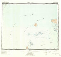
1951 · Gareloi Island
USGS Topo · 1:250,000
1951 · Adak
USGS Topo · 1:250,000
1952 · Atka
USGS Topo · 1:250,000
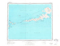
1954 · Adak
USGS Topo · 1:250,000
1954 · Gareloi Island
USGS Topo · 1:250,000
1957 · Adak
USGS Topo · 1:250,000
1959 · Atka
USGS Topo · 1:250,000
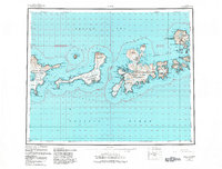
1983 · Adak
USGS Topo · 1:250,000

2021 · Adak D-1 SW
USGS Topo · 1:25,000

2021 · Atka C-6 SW
USGS Topo · 1:25,000