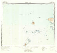
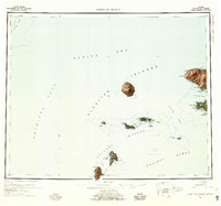
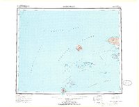
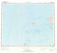
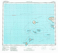
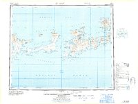
1954 Map of Gareloi Island
USGS Topo · Published 1959About this map
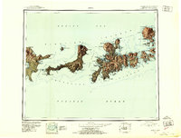
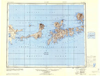
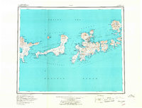
Mt Gareloi towers as the central landmark of the Aleutian chain in this mid-century survey, surrounded by the churning waters of the Amchitka Pass and Tanaga Pass. The volcanic landscape is starkly defined, showing the prominent Tanaga Volcano on Tanaga Island alongside smaller outcroppings like Unalga Island and the Delarof Islands. This era of mapping was compiled from Army Map Service records and hydrographic charts, documenting a maritime environment where isolated structures, noted simply as Cabin or Cabins, were the only signs of human presence. Navigation through the Bering Sea and Pacific Ocean is detailed via bathymetric soundings and named coastal features like Cape Sajaka and Dinkum Pt. The map captures a moment when these remote reaches of the Aleutian Islands were meticulously charted for military and scientific purposes, long before modern digital surveillance.
Find a feature on this map
51 named features on this map. Tap any name to fly to it.
Don’t see what you’re looking for? This feature index may not catch every label — zoom into the map to look around manually.
Map Details
Editions of this 1954 Gareloi Island Map
5 editions found
Other maps of this area

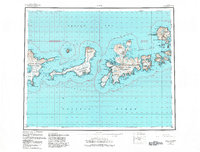
1951 · Gareloi Island
USGS Topo · 1:250,000
1951 · Adak
USGS Topo · 1:250,000
1954 · Adak
USGS Topo · 1:250,000
1957 · Adak
USGS Topo · 1:250,000
1967 · Adak
USGS Topo · 1:250,000
1983 · Adak
USGS Topo · 1:250,000
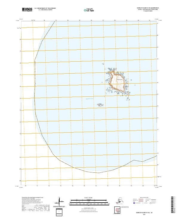
2021 · Gareloi Island B-4 SE
USGS Topo · 1:25,000
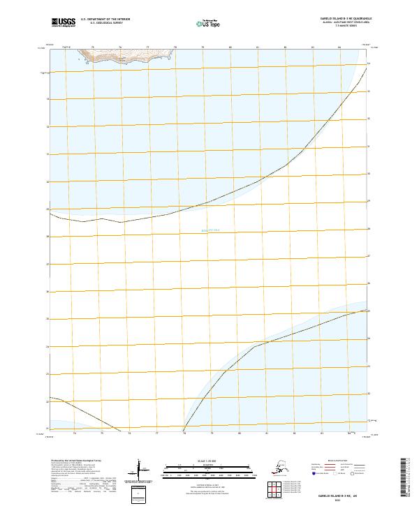
2021 · Gareloi Island B-3 NE
USGS Topo · 1:25,000
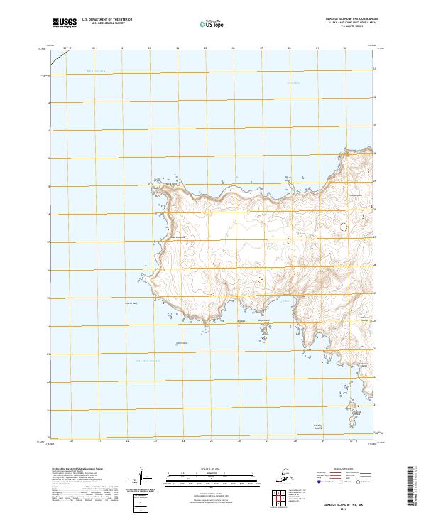
2021 · Gareloi Island B-1 NE
USGS Topo · 1:25,000
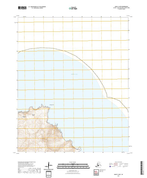
2021 · Adak C-6 NW
USGS Topo · 1:25,000