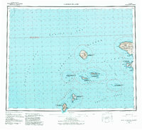
1954 Map of Gareloi Island
USGS Topo · Published 1984About this map
Gareloi Island and the western reaches of the Andreanof Islands appear here as they were charted in the mid-twentieth century. Dominating the landscape is the massive Mt Gareloi, an active volcanic peak that defines its namesake island. To the east, the western peninsula of Tanaga Island is prominent, featuring the heights of Tanaga Volcano and coastal landmarks such as Cape Sajaka and Blackface Pt.
Find a feature on this map
46 named features on this map. Tap any name to fly to it.
Don’t see what you’re looking for? This feature index may not catch every label — zoom into the map to look around manually.
Map Details
Editions of this 1954 Gareloi Island Map
5 editions found
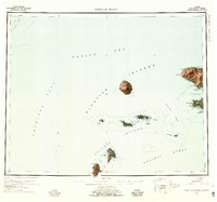
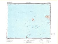
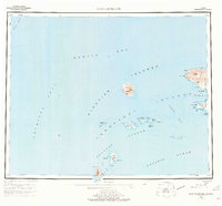
Other maps of this area

1951 · Gareloi Island
USGS Topo · 1:250,000

1951 · Adak
USGS Topo · 1:250,000

1954 · Adak
USGS Topo · 1:250,000

1954 · Gareloi Island
USGS Topo · 1:250,000

1957 · Adak
USGS Topo · 1:250,000

1967 · Adak
USGS Topo · 1:250,000

1983 · Adak
USGS Topo · 1:250,000
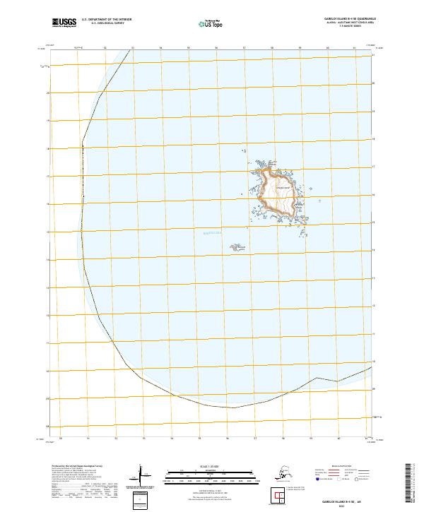
2021 · Gareloi Island B-4 SE
USGS Topo · 1:25,000
2021 · Gareloi Island B-3 NE
USGS Topo · 1:25,000
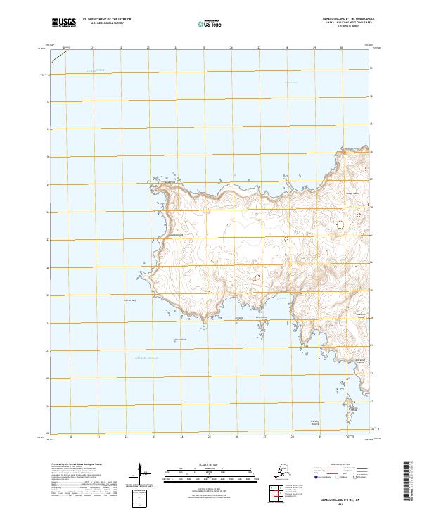
2021 · Gareloi Island B-1 NE
USGS Topo · 1:25,000