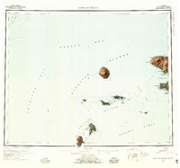
1954 Map of Gareloi Island
USGS Topo · Published 1959About this map
Gareloi Island and the western reaches of the Delarof Islands dominate this maritime survey of the Aleutian chain. The central volcanic peak of Mt Gareloi stands as a prominent navigational landmark between the Amchitka Pass and Tanaga Pass. To the east, the rugged western coast of Tanaga Island reveals a complex shoreline of points and capes, including Cape Sajaka and Cape Amagalik, where the land meets Tanaga Bay.
Find a feature on this map
57 named features on this map. Tap any name to fly to it.
Don’t see what you’re looking for? This feature index may not catch every label — zoom into the map to look around manually.
Map Details
Editions of this 1954 Gareloi Island Map
5 editions found
Other maps of this area

1951 · Gareloi Island
USGS Topo · 1:250,000

1951 · Adak
USGS Topo · 1:250,000

1954 · Adak
USGS Topo · 1:250,000

1954 · Gareloi Island
USGS Topo · 1:250,000

1957 · Adak
USGS Topo · 1:250,000

1967 · Adak
USGS Topo · 1:250,000

1983 · Adak
USGS Topo · 1:250,000
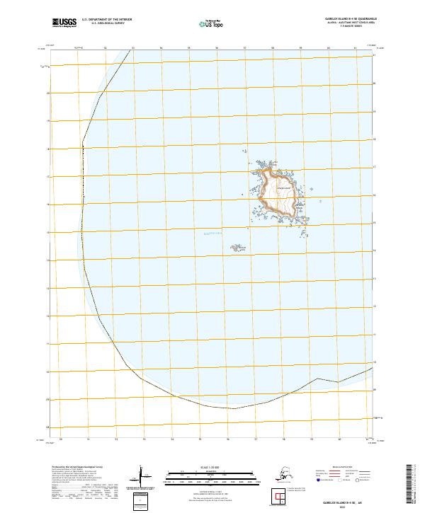
2021 · Gareloi Island B-4 SE
USGS Topo · 1:25,000
2021 · Gareloi Island B-3 NE
USGS Topo · 1:25,000
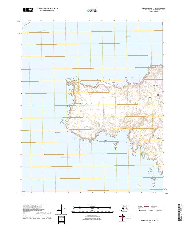
2021 · Gareloi Island B-1 NE
USGS Topo · 1:25,000