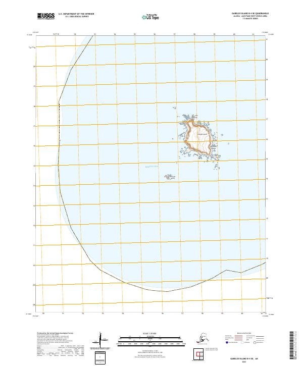
2021 Map of Gareloi Island B-4 SE
USGS Topo · Published 2021About this map
Unalga Island sits as a solitary landform within the Andreanof Islands chain, surrounded by the vast waters of the Bering Sea. This isolated piece of the Aleutian Islands is characterized by its steep, contoured relief rising abruptly from the ocean floor. To the southwest, the small cluster of Dinkum Rocks breaks the surface, serving as the only other topographic features in this remote maritime environment. The area is divided by the Public Land Survey System grid, including township markers for t99s r214w and t99s r213w, which overlay this northern Pacific landscape.
Find a feature on this map
7 named features on this map. Tap any name to fly to it.
Don’t see what you’re looking for? This feature index may not catch every label — zoom into the map to look around manually.
Map Details
Editions of this 2021 Gareloi Island B-4 SE Map
This is the sole edition of this map. No revisions or reprints were ever made.