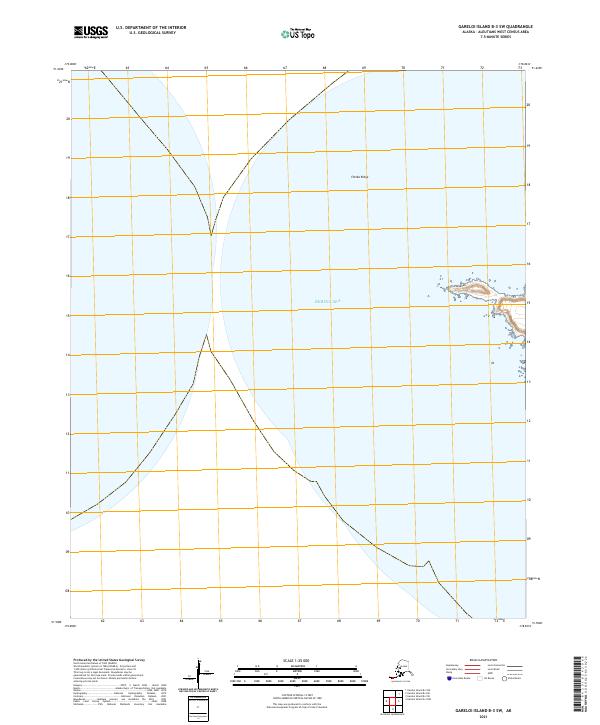
2021 Map of Gareloi Island B-3 SW
USGS Topo · Published 2021About this map
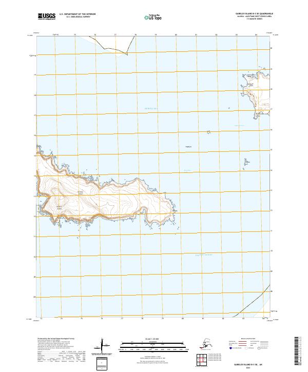
The coastal geography of the Aleutian Islands takes focus on this sheet, defined by the meeting of the Bering Sea and the rocky shoreline of the western census area. The topographical detail centers on Chitka Ridge, a prominent elevation that dictates the local drainage and coastal profile. Along the eastern shoreline, the name Husanax identifies a specific point of interest, providing a vital geographic marker for researchers studying the coastal nomenclature and indigenous place names of this remote Alaskan island chain. The landscape reflects the characteristic isolation and maritime environment of the Aleutians, where survey lines like t99s r212w and t100s r212w delineate the territory within the Public Land Survey System.
Find a feature on this map
6 named features on this map. Tap any name to fly to it.
Don’t see what you’re looking for? This feature index may not catch every label — zoom into the map to look around manually.
Map Details
Editions of this 2021 Gareloi Island B-3 SW Map
This is the sole edition of this map. No revisions or reprints were ever made.